
| Distance / Altitude | Location | Report Date / Time | Live Weather | Wind | Gusts | Temp. | Visibility | Cloud |
|---|---|---|---|---|---|---|---|---|
| 5 km SSW / 218 m | Imperial Beach Airport (California) | 2026-08-03 04:53 local (2026/08/03 11:53 GMT) | - | calm (0 km/h at 0) | 20°C | 0.0 | ||
| 5 km SW / 3 m | BUOY-TIXC1 (Marine) | 2026-08-03 04:45 local (2026/08/03 11:45 GMT) | - (0 km/h at -) | 20°C | - | |||
| 8 km ESE / 218 m | San Diego/Brown Field Municipal Airport (California) | 2026-08-03 04:53 local (2026/08/03 11:53 GMT) | Dry and cloudy | calm (0 km/h at 0) | 19°C | 14 | overcast | |
| 13 km SE / 363 m | Tijuana International Airport (Mexico) | 2026-08-03 05:43 local (2026/08/03 12:43 GMT) | Dry and cloudy | light winds from the NW (9 km/h at 320) | 19°C | 8 | overcast | |
| 15 km WNW / 3 m | BUOY-SDBC1 (Marine) | 2026-08-03 05:48 local (2026/08/03 12:48 GMT) | - (- km/h at -) | — | - | |||
| 17 km WNW / 219 m | North Island Naval Air Station Airport (California) | 2026-08-03 05:58 local (2026/08/03 12:58 GMT) | Dry and partly cloudy | light winds from the NW (9 km/h at 310) | 22°C | 13 | broken | |
| 18 km NW / 219 m | San Diego Airport (California) | 2026-08-03 04:51 local (2026/08/03 11:51 GMT) | Dry and cloudy | light winds from the E (6 km/h at 90) | 22°C | 16 | overcast | |
| 25 km NW / 218 m | San Diego/Montgomery Field Airport (California) | 2026-08-03 04:53 local (2026/08/03 11:53 GMT) | Dry and cloudy | wind obs. (6 kph from 60 degs) was rejected (- km/h at -) | 21°C | 13 | overcast | |
| 26 km NNE / 186 m | San Diego/Gillespie Field Airport (California) | 2026-08-03 05:35 local (2026/08/03 12:35 GMT) | Dry and cloudy | light winds from the WNW (7 km/h at 290) | 20°C | 13 | overcast | |
| 30 km N / 215 m | Miramar Nas/san Airport (California) | 2026-08-03 04:55 local (2026/08/03 11:55 GMT) | Dry and cloudy | light winds from the NW (6 km/h at 310) | 21°C | 13 | overcast |
| Contours: | Roads & Rivers: | Select a
tide station / surf break / city |
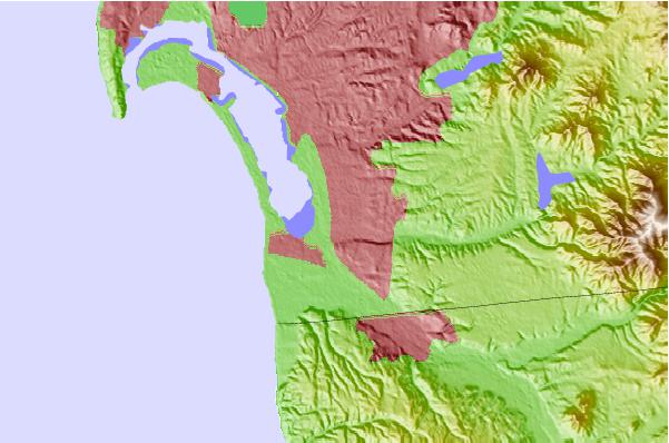
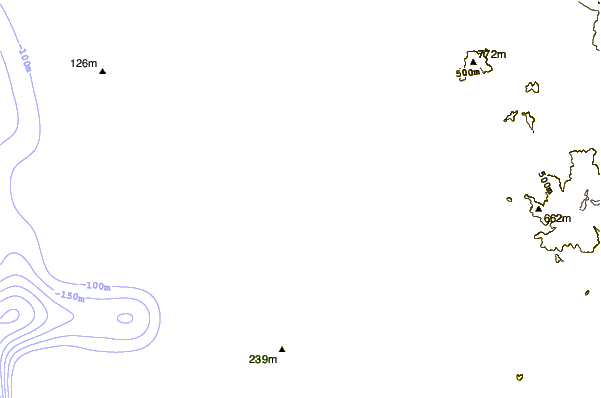
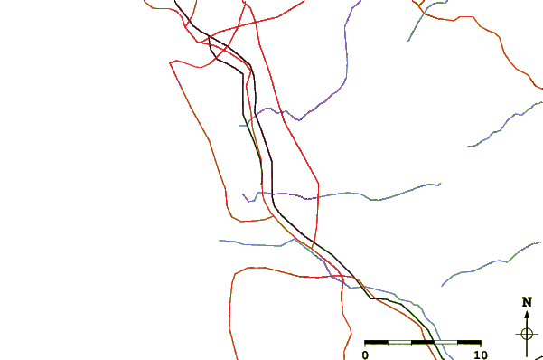
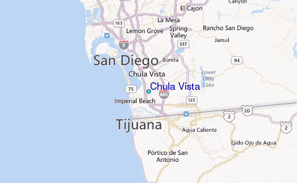
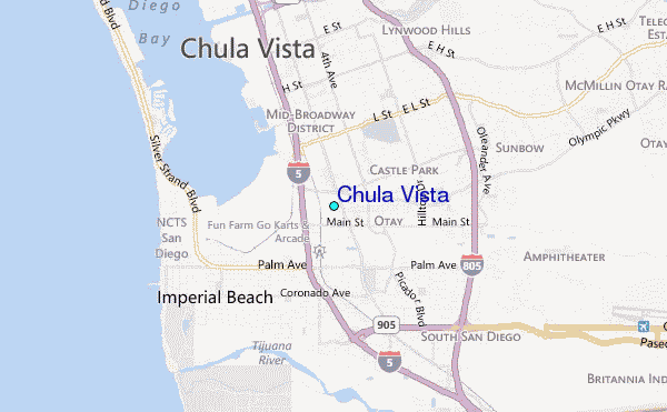
Use this relief map to navigate to tide stations, surf breaks and cities that are in the area of Chula Vista.
Other Nearby Locations' tide tables and tide charts to Chula Vista:
click location name for more details
 Surf breaks close to Chula Vista:
|
||
|---|---|---|
| Closest surf break | Imperial Beach | 3 mi |
| Second closest surf break | Imperial Pier (North and South) | 4 mi |
| Third closest surf break | Tijuana Sloughs | 4 mi |
| Fourth closest surf break | Coronado Beaches | 9 mi |
| Fifth closest surf break | San Antonio Del Mar | 10 mi |


 Nearest
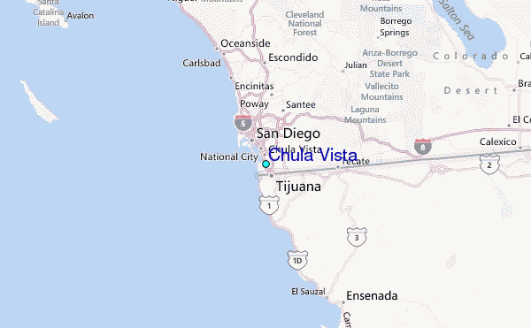