
| Distance / Altitude | Location | Report Date / Time | Live Weather | Wind | Gusts | Temp. | Visibility | Cloud |
|---|---|---|---|---|---|---|---|---|
| 7 km NNE / 0 m | lightning 10km SE of Leonardtown (United States) | 2026-07-22 00:17 local (2026/07/22 04:17 GMT) | Thunderstorm | (- km/h at -) | — | |||
| 9 km ESE / 3 m | BUOY-PPTM2 (Marine) | 2026-07-22 01:48 local (2026/07/22 05:48 GMT) | light winds from the SW (9 km/h at 230) | — | - | |||
| 19 km E / 218 m | St. Inigoes- Webster Field (MD) Airport (United States) | 2026-07-22 00:38 local (2026/07/22 04:38 GMT) | Light rain | moderate winds from the SW (24 km/h at 220) | 24°C | 14 | broken | |
| 20 km NNE / 44 m | St. Mary's County Regional Airport (Maryland) (Maryland) | 2026-07-22 01:35 local (2026/07/22 05:35 GMT) | Dry and partly cloudy | light winds from the SW (11 km/h at 220) | 24°C | 0.0 | broken broken | |
| 21 km NNE / 17 m | thunderstorm affecting California (United States) | 2026-07-21 23:33 local (2026/07/22 03:33 GMT) | Thunderstorm | (- km/h at -) | — | |||
| 22 km SE / 3 m | BUOY-LWTV2 (Marine) | 2026-07-22 01:48 local (2026/07/22 05:48 GMT) | light winds from the WSW (18 km/h at 250) | 24°C | - | |||
| 24 km ENE / 218 m | Patuxent River Airport (Maryland) | 2026-07-22 00:52 local (2026/07/22 04:52 GMT) | Light rain | moderate winds from the SW (20 km/h at 230) | 24°C | 16 | few | |
| 25 km NE / 3 m | BUOY-SLIM2 (Marine) | 2026-07-22 01:48 local (2026/07/22 05:48 GMT) | light winds from the WSW (17 km/h at 250) | 25°C | - | |||
| 26 km SE / 0 m | lightning 29km S of Lexington Park (United States) | 2026-07-22 02:04 local (2026/07/22 06:04 GMT) | Thunderstorm | (- km/h at -) | — | |||
| 28 km WNW / 2 m | lightning 7km NE of Colonial Beach (United States) | 2026-07-21 23:32 local (2026/07/22 03:32 GMT) | Thunderstorm | (- km/h at -) | — |
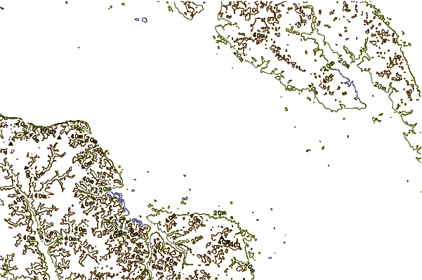
| Contours: | Roads & Rivers: | Select a
tide station / surf break / city |
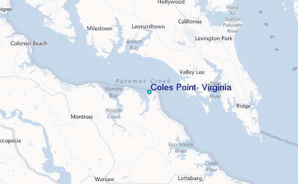
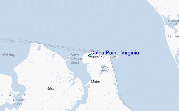
Use this relief map to navigate to tide stations, surf breaks and cities that are in the area of Coles Point, Virginia.
Other Nearby Locations' tide tables and tide charts to Coles Point, Virginia:
click location name for more details
 Surf breaks close to Coles Point, Virginia:
|
||
|---|---|---|
| Closest surf break | Out Front | 73 mi |
| Second closest surf break | Chincoteague | 73 mi |
| Third closest surf break | Grandview | 76 mi |
| Fourth closest surf break | Assateague | 81 mi |
| Fifth closest surf break | Fishermans Island | 83 mi |


 Nearest
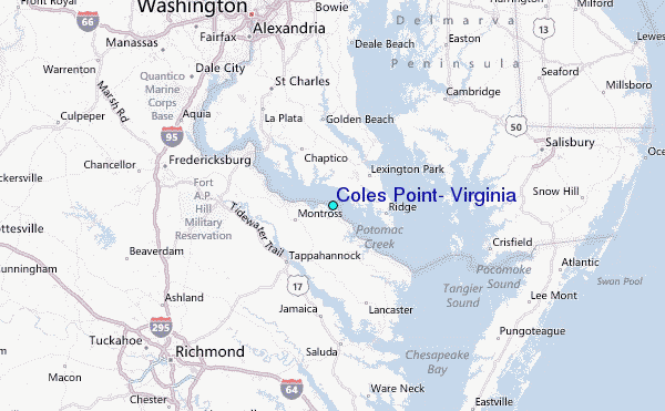