
| Distance / Altitude | Location | Report Date / Time | Live Weather | Wind | Gusts | Temp. | Visibility | Cloud |
|---|---|---|---|---|---|---|---|---|
| 8 km W / 6 m | Cooktown Airport (Australia) | 2026-07-26 22:00 local (2026/07/26 12:00 GMT) | no report | light winds from the SSE (9 km/h at 150) | 22°C | - | - | |
| 56 km N / 19 m | Cape Flattery (Australia) | 2026-07-26 22:00 local (2026/07/26 12:00 GMT) | no report | moderate winds from the SSE (20 km/h at 150) | 24°C | - | - | |
| 104 km E / 15 m | ASCATC146E16S (Marine) | 2026-07-26 21:34 local (2026/07/26 11:34 GMT) | fresh winds from the SE (36 km/h at 132) | — | - km | |||
| 107 km SSE / 4 m | Low Isles Lighthouse (Australia) | 2026-07-26 22:00 local (2026/07/26 12:00 GMT) | no report | - (- km/h at -) | 24°C | - | - - - | |
| 141 km SW / 240 m | Palmerville (Australia) | 2026-07-26 22:00 local (2026/07/26 12:00 GMT) | no report | light winds from the ENE (7 km/h at 70) | 20°C | - | - | |
| 142 km NE / 15 m | ASCATC146E15S (Marine) | 2026-07-26 21:34 local (2026/07/26 11:34 GMT) | fresh winds from the SE (29 km/h at 128) | — | - km | |||
| 164 km SSE / 218 m | Cairns Airport (Australia) | 2026-07-26 22:30 local (2026/07/26 12:30 GMT) | no report | light winds from the S (15 km/h at 170) | 22°C | 10.0 | few broken overcast | |
| 167 km SSE / 8 m | Arlington Reef (Australia) | 2026-07-26 22:00 local (2026/07/26 12:00 GMT) | no report | fresh winds from the SSE (31 km/h at 160) | — | - | - - - | |
| 168 km E / 15 m | ASCATC147E16S (Marine) | 2026-07-26 21:34 local (2026/07/26 11:34 GMT) | fresh winds from the SE (37 km/h at 134) | — | - km | |||
| 170 km SE / 15 m | ASCATC146E17S (Marine) | 2026-07-26 21:33 local (2026/07/26 11:33 GMT) | fresh winds from the SE (35 km/h at 130) | — | - km |
| Contours: | Roads & Rivers: | Select a
tide station / surf break / city |
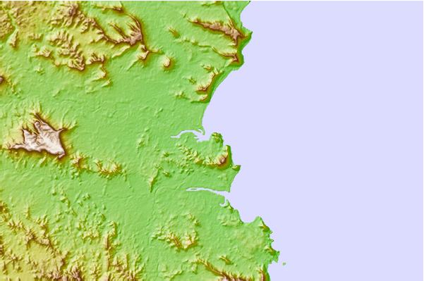

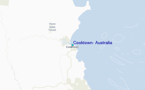
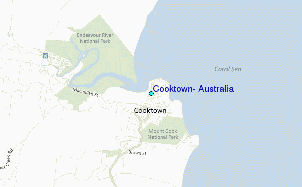
Use this relief map to navigate to tide stations, surf breaks and cities that are in the area of Cooktown, Australia.
Other Nearby Locations' tide tables and tide charts to Cooktown, Australia:
click location name for more details
 Surf breaks close to Cooktown, Australia:
|
||
|---|---|---|
| Closest surf break | Eimeo Point | 463 mi |
| Second closest surf break | Dolphin Heads | 464 mi |
| Third closest surf break | Lamberts Beach | 467 mi |
| Fourth closest surf break | North Wall Mackay Harbour Beach | 469 mi |
| Fifth closest surf break | South Wall Mackay Harbour | 470 mi |


 Nearest
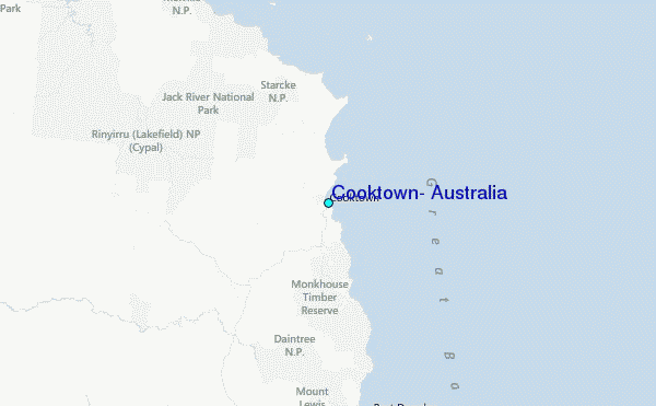