
| Distance / Altitude | Location | Report Date / Time | Live Weather | Wind | Gusts | Temp. | Visibility | Cloud |
|---|---|---|---|---|---|---|---|---|
| 17 km NE / 294 m | Chetumal Airport (Mexico) | 2026-07-09 12:40 local (2026/07/09 18:40 GMT) | Dry and partly cloudy | moderate winds from the ESE (20 km/h at 120) | 33°C | 11 | scattered scattered | |
| 93 km WNW / 100 m | lightning 62km N of Nicolas Bravo (Mexico) | 2026-07-09 13:34 local (2026/07/09 19:34 GMT) | Thunderstorm | (- km/h at -) | — | |||
| 97 km S / 464 m | Belize International Airport (Belize) | 2026-07-09 12:00 local (2026/07/09 18:00 GMT) | Dry and partly cloudy | light winds from the ENE (13 km/h at 70) | 32°C | 10.0 | broken | |
| 98 km WNW / 53 m | lightning 60km SSW of Chunhuhub (Mexico) | 2026-07-09 13:32 local (2026/07/09 19:32 GMT) | Thunderstorm | (- km/h at -) | — | |||
| 167 km S / 105 m | Melchor de Mencos Airport (Guatemala) | 2026-07-09 13:00 local (2026/07/09 19:00 GMT) | Dry and partly cloudy | wind obs. (19 kph from 200 degs) was rejected (- km/h at -) | 31°C | 10.0 | few broken | |
| 249 km N / 155 m | Chichen Itza Yucatán Airport (Mexico) | 2026-07-09 12:42 local (2026/07/09 18:42 GMT) | Dry and partly cloudy | light winds from the NE (11 km/h at 50) | 35°C | 11 | broken broken | |
| 257 km N / 250 m | Valladolid (Mexico) | 2026-07-09 12:00 local (2026/07/09 18:00 GMT) | - | wind obs. (9 kph from 280 degs) was rejected (- km/h at -) | — | 7 | - - - | |
| 267 km SE / 0 m | lightning 33km NNW of Sandy Bay (Honduras) | 2026-07-09 12:17 local (2026/07/09 18:17 GMT) | Thunderstorm | (- km/h at -) | — | |||
| 272 km NE / 3 m | SHIP6071 (Marine) | 2026-07-09 12:00 local (2026/07/09 18:00 GMT) | - (- km/h at -) | 30°C | - | |||
| 272 km NE / 3 m | SHIP181 (Marine) | 2026-07-09 11:00 local (2026/07/09 17:00 GMT) | - (- km/h at -) | — | - |
| Contours: | Roads & Rivers: | Select a
tide station / surf break / city |
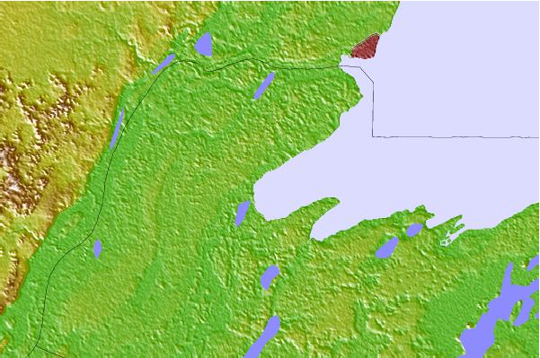
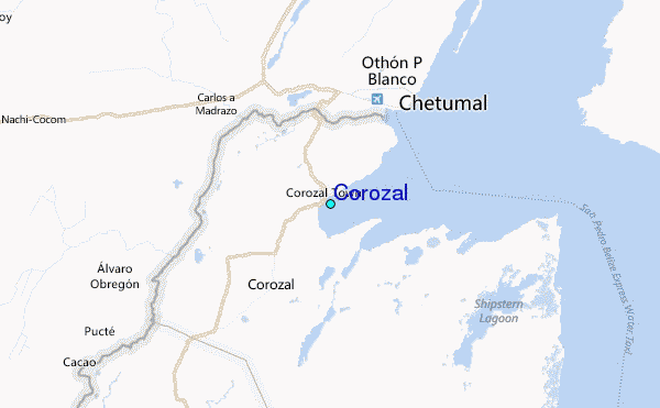
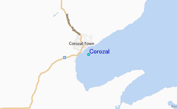
Use this relief map to navigate to tide stations, surf breaks and cities that are in the area of Corozal.
Other Nearby Locations' tide tables and tide charts to Corozal:
click location name for more details
 Surf breaks close to Corozal:
|
||
|---|---|---|
| Closest surf break | Rocky Point | 41 mi |
| Second closest surf break | San Pedro North Reef Pass | 43 mi |
| Third closest surf break | San Pedro South Reef Pass | 44 mi |
| Fourth closest surf break | East Point Long Cay | 58 mi |
| Fifth closest surf break | Palma Real | 216 mi |


 Nearest
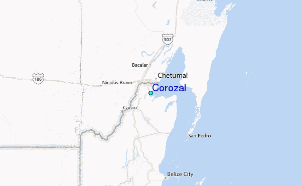