
| Distance / Altitude | Location | Report Date / Time | Live Weather | Wind | Gusts | Temp. | Visibility | Cloud |
|---|---|---|---|---|---|---|---|---|
| 24 km SW / 3 m | BUOY-PRDA2 (Marine) | 2026-06-23 18:48 local (2026/06/24 02:48 GMT) | light winds from the ESE (8 km/h at 110) | — | - | |||
| 35 km S / 3 m | BUOY-DHXA2 (Marine) | 2026-06-23 19:02 local (2026/06/24 03:02 GMT) | light winds from the NNE (11 km/h at 20) | — | - | |||
| 38 km S / 215 m | Deadhorse Airport (Alaska) | 2026-06-23 17:53 local (2026/06/24 01:53 GMT) | Clear | light winds from the NNE (17 km/h at 20) | 11°C | 16 | ||
| 64 km SW / 459 m | Kuparuk Airport (Alaska) | 2026-06-23 17:45 local (2026/06/24 01:45 GMT) | - | light winds from the NW (9 km/h at 310) | — | 16 | ||
| 74 km ESE / 8 m | Point Thompson Airstrip-Deadhorse (Alaska) (Alaska) | 2026-06-23 18:35 local (2026/06/24 02:35 GMT) | Clear | light winds from the NE (11 km/h at 40) | 9°C | 16 | ||
| 113 km WSW / 398 m | Deadhorse- Alpine Airstrip (AK) Airport (United States) | 2026-06-23 17:45 local (2026/06/24 01:45 GMT) | - | light winds from the NNW (11 km/h at 340) | 14°C | 16 | few | |
| 118 km SW / 210 m | Nuiqsut Airport (Alaska) | 2026-06-23 17:53 local (2026/06/24 01:53 GMT) | Light rain | light winds from the N (9 km/h at 1) | 18°C | 16 | ||
| 167 km ESE / 192 m | Barter Island Airport (Alaska) | 2026-06-23 17:56 local (2026/06/24 01:56 GMT) | Clear | light winds from the ENE (17 km/h at 60) | — | 16 | ||
| 281 km SSE / 710 m | Arctic Village Airport (Alaska) | 2026-06-23 17:56 local (2026/06/24 01:56 GMT) | Clear | calm (0 km/h at 0) | 23°C | 16 | ||
| 302 km S / 702 m | Anaktuvuk Pass Airport (Alaska) | 2026-06-23 17:56 local (2026/06/24 01:56 GMT) | Clear | moderate winds from the NE (22 km/h at 40) | 20°C | 16 |
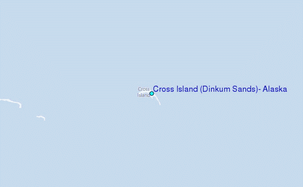
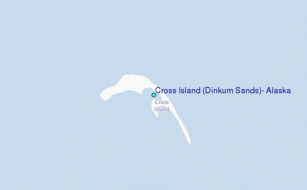
Choose Cross Island (Dinkum Sands), Alaska Location Map Zoom:
| Contours: | Roads & Rivers: | Select a
tide station / surf break / city |
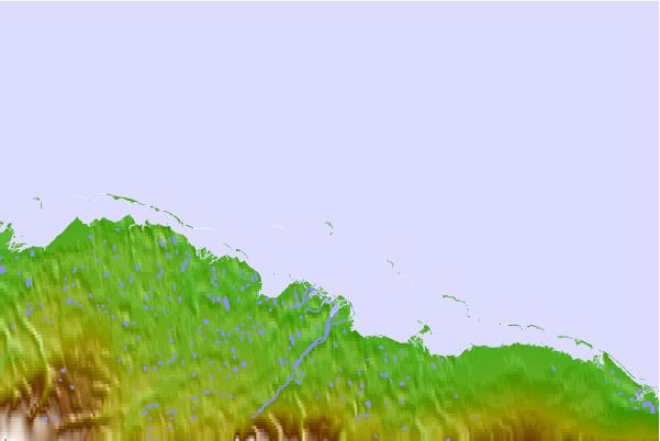
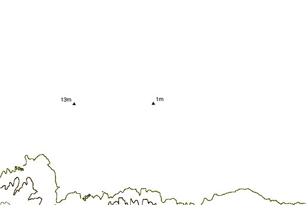
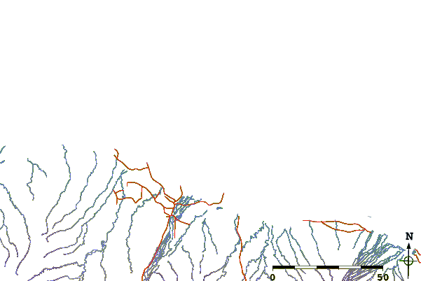
Use this relief map to navigate to tide stations, surf breaks and cities that are in the area of Cross Island (Dinkum Sands), Alaska.
Other Nearby Locations' tide tables and tide charts to Cross Island (Dinkum Sands), Alaska:
click location name for more details
 Surf breaks close to Cross Island (Dinkum Sands), Alaska:
|
||
|---|---|---|
| Closest surf break | Bird Point (Tidal Bore) | 682 mi |
| Second closest surf break | Graveyards | 791 mi |
| Third closest surf break | Ocean Cape | 791 mi |
| Fourth closest surf break | Cannon Beach | 795 mi |
| Fifth closest surf break | Termination Point | 883 mi |


 Nearest
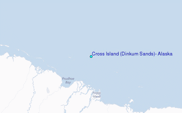