
| Distance / Altitude | Location | Report Date / Time | Live Weather | Wind | Gusts | Temp. | Visibility | Cloud |
|---|---|---|---|---|---|---|---|---|
| 7 km SE / 219 m | San Diego Airport (California) | 2026-07-24 11:51 local (2026/07/24 18:51 GMT) | - | light winds from the SSW (11 km/h at 200) | 24°C | 16 | few few broken | |
| 9 km S / 219 m | North Island Naval Air Station Airport (California) | 2026-07-24 11:52 local (2026/07/24 18:52 GMT) | Dry and partly cloudy | light winds from the SSW (17 km/h at 200) | 24°C | 16 | scattered broken | |
| 9 km SSE / 3 m | SHIP7102 (Marine) | 2026-07-24 11:00 local (2026/07/24 18:00 GMT) | light winds from the SW (11 km/h at 220) | 24°C | - | |||
| 10 km NW / 3 m | La Jolla- CA (Marine) | 2026-07-24 12:20 local (2026/07/24 19:20 GMT) | light winds from the W (11 km/h at 270) | — | - | |||
| 10 km SE / 3 m | BUOY-SDBC1 (Marine) | 2026-07-24 12:48 local (2026/07/24 19:48 GMT) | - (- km/h at -) | — | - | |||
| 9 km SSE / 15 m | SHIP6497 (Marine) | 2026-07-24 11:00 local (2026/07/24 18:00 GMT) | light winds from the SW (11.16 km/h at 220) | 23°C | - km | |||
| 9 km SSE / 15 m | SHIP8597 (Marine) | 2026-07-24 11:00 local (2026/07/24 18:00 GMT) | light winds from the SW (11.16 km/h at 220) | 23°C | - km | |||
| 9 km SSE / 15 m | SHIP3796 (Marine) | 2026-07-24 11:00 local (2026/07/24 18:00 GMT) | light winds from the SW (11.16 km/h at 220) | 23°C | - km | |||
| 9 km SSE / 15 m | SHIP7719 (Marine) | 2026-07-24 13:00 local (2026/07/24 20:00 GMT) | light winds from the W (12.96 km/h at 280) | 23°C | - km | |||
| 9 km SSE / 15 m | SHIP8066 (Marine) | 2026-07-24 12:00 local (2026/07/24 19:00 GMT) | light winds from the WSW (12.96 km/h at 240) | 23°C | - km |
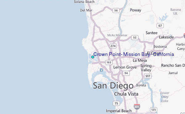
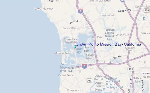
Choose Crown Point, Mission Bay, California Location Map Zoom:
| Contours: | Roads & Rivers: | Select a
tide station / surf break / city |
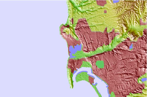
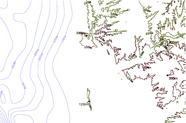
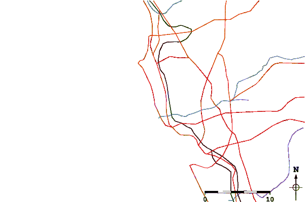
Use this relief map to navigate to tide stations, surf breaks and cities that are in the area of Crown Point, Mission Bay, California.
Other Nearby Locations' tide tables and tide charts to Crown Point, Mission Bay, California:
click location name for more details
 Surf breaks close to Crown Point, Mission Bay, California:
|
||
|---|---|---|
| Closest surf break | El Carmel Point | 1 mi |
| Second closest surf break | Mission Beach | 1 mi |
| Third closest surf break | Santa Clara Court | 1 mi |
| Fourth closest surf break | South Jetty and Dog Beach | 1 mi |
| Fifth closest surf break | Crystal Pier and Pacific Beach | 2 mi |


 Nearest
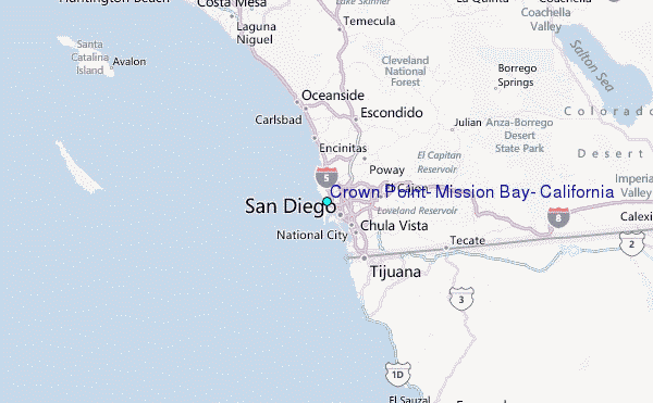