
| Distance / Altitude | Location | Report Date / Time | Live Weather | Wind | Gusts | Temp. | Visibility | Cloud |
|---|---|---|---|---|---|---|---|---|
| 12 km ESE / 12 m | Georgetown County Airport (South Carolina) (South Carolina) | 2026-07-26 05:35 local (2026/07/26 09:35 GMT) | Thunderstorm - | calm (0 km/h at 0) | 23°C | 16 | broken broken overcast | |
| 21 km S / 6 m | McClellanville (South Carolina) | 2026-07-26 05:25 local (2026/07/26 09:25 GMT) | dry | calm (0 km/h at 0) | 20°C | - | - - 0 | |
| 23 km E / 3 m | BUOY-NIWS1 (Marine) | 2026-07-26 05:00 local (2026/07/26 09:00 GMT) | calm (5 km/h at 40) | 25°C | - | |||
| 26 km N / 6 m | lightning 22km NNE of Andrews (United States) | 2026-07-26 05:33 local (2026/07/26 09:33 GMT) | Thunderstorm | (- km/h at -) | — | |||
| 36 km NNE / 11 m | lightning 24km WNW of Garden City (United States) | 2026-07-26 06:00 local (2026/07/26 10:00 GMT) | Thunderstorm | (- km/h at -) | — | |||
| 39 km NNE / 8 m | lightning 21km ESE of Johnsonville (United States) | 2026-07-26 06:03 local (2026/07/26 10:03 GMT) | Thunderstorm | (- km/h at -) | — | |||
| 43 km NNE / 5 m | lightning 22km SW of Conway (United States) | 2026-07-26 06:02 local (2026/07/26 10:02 GMT) | Thunderstorm | (- km/h at -) | — | |||
| 45 km NW / 21 m | lightning 13km NE of Kingstree (United States) | 2026-07-26 05:19 local (2026/07/26 09:19 GMT) | Thunderstorm | (- km/h at -) | — | |||
| 47 km SW / 9 m | lightning 10km NE of Moncks Corner (United States) | 2026-07-26 03:47 local (2026/07/26 07:47 GMT) | Thunderstorm | (- km/h at -) | — | |||
| 48 km NE / 4 m | lightning 8km W of Socastee (United States) | 2026-07-26 06:17 local (2026/07/26 10:17 GMT) | Thunderstorm | (- km/h at -) | — |
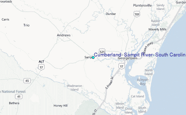
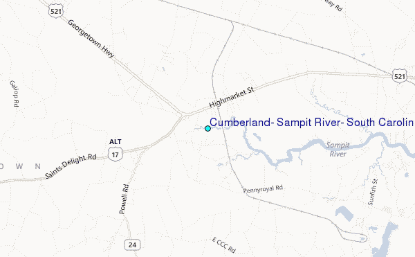
Choose Cumberland, Sampit River, South Carolina Location Map Zoom:
| Contours: | Roads & Rivers: | Select a
tide station / surf break / city |
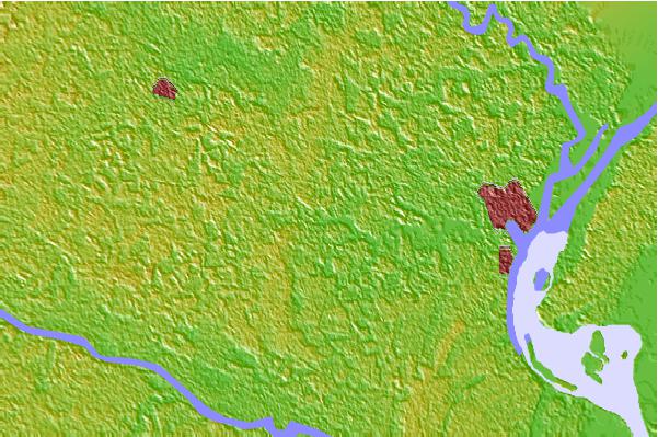
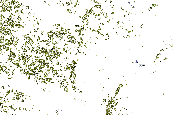
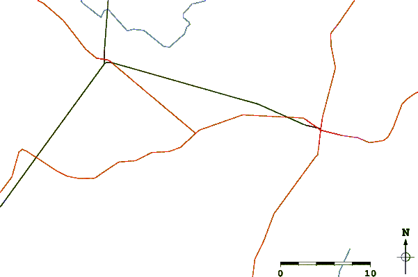
Use this relief map to navigate to tide stations, surf breaks and cities that are in the area of Cumberland, Sampit River, South Carolina.
Other Nearby Locations' tide tables and tide charts to Cumberland, Sampit River, South Carolina:
click location name for more details
 Surf breaks close to Cumberland, Sampit River, South Carolina:
|
||
|---|---|---|
| Closest surf break | Pelican Poles | 16 mi |
| Second closest surf break | South End | 16 mi |
| Third closest surf break | The Pier | 16 mi |
| Fourth closest surf break | Murrells Inlet | 26 mi |
| Fifth closest surf break | Garden City Pier | 29 mi |


 Nearest
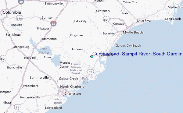