
| Distance / Altitude | Location | Report Date / Time | Live Weather | Wind | Gusts | Temp. | Visibility | Cloud |
|---|---|---|---|---|---|---|---|---|
| 13 km N / 217 m | Richmond Airport (Virginia) | 2026-06-23 21:54 local (2026/06/24 01:54 GMT) | - | light winds from the NW (6 km/h at 310) | 19°C | 16 | few | |
| 18 km NE / 37 m | Quinton Airport (Virginia) (Virginia) | 2026-06-23 22:35 local (2026/06/24 02:35 GMT) | Clear | calm (0 km/h at 0) | 18°C | 16 | ||
| 32 km SSW / 217 m | Petersburg Airport (Virginia) | 2026-06-23 22:35 local (2026/06/24 02:35 GMT) | Clear | calm (0 km/h at 0) | 18°C | 16 | ||
| 36 km NW / 218 m | Richmond/Hanover Airport (Virginia) | 2026-06-23 21:54 local (2026/06/24 01:54 GMT) | Clear | calm (0 km/h at 0) | 17°C | 14 | ||
| 49 km ENE / 217 m | West Point Airport (Virginia) | 2026-06-23 22:35 local (2026/06/24 02:35 GMT) | Clear | calm (0 km/h at 0) | 18°C | 11 | ||
| 52 km E / 3 m | BUOY-YRSV2 (Marine) | 2026-06-23 22:30 local (2026/06/24 02:30 GMT) | calm (2 km/h at 320) | 21°C | - | |||
| 53 km SSE / 218 m | Norfolk/Wakefield Airport (Virginia) | 2026-06-23 21:54 local (2026/06/24 01:54 GMT) | Clear | light winds from the NNW (6 km/h at 340) | 19°C | 16 | ||
| 54 km ESE / 217 m | Williamsburg Airport (Virginia) | 2026-06-23 22:35 local (2026/06/24 02:35 GMT) | Clear | light winds from the NW (7 km/h at 320) | 19°C | 16 | ||
| 63 km NNE / 42 m | Tappahannock Airport (Virginia) | 2026-06-23 22:35 local (2026/06/24 02:35 GMT) | Clear | calm (0 km/h at 0) | 17°C | 16 | ||
| 68 km ESE / 218 m | Fort Eustis/Felker Airport (Virginia) | 2026-06-23 21:55 local (2026/06/24 01:55 GMT) | Dry and partly cloudy | light winds from the N (17 km/h at 350) | 21°C | 16 | few scattered |
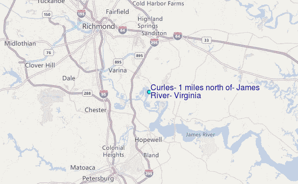
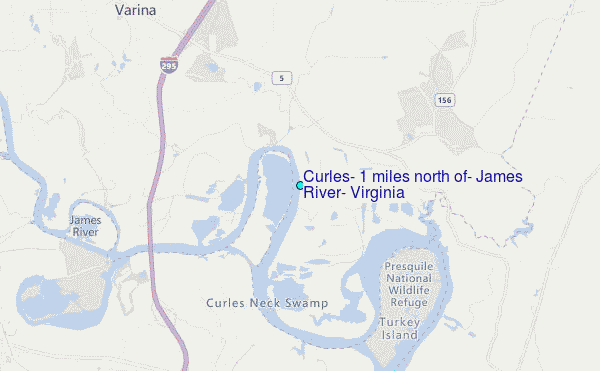
Choose Curles, 1 miles north of, James River, Virginia Location Map Zoom:
| Contours: | Roads & Rivers: | Select a
tide station / surf break / city |
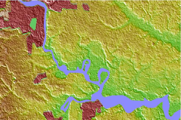
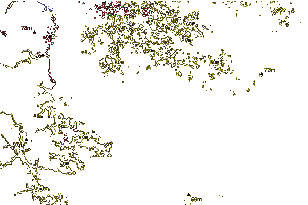
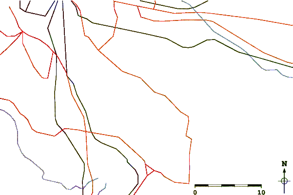
Use this relief map to navigate to tide stations, surf breaks and cities that are in the area of Curles, 1 miles north of, James River, Virginia.
Other Nearby Locations' tide tables and tide charts to Curles, 1 miles north of, James River, Virginia:
click location name for more details
 Surf breaks close to Curles, 1 miles north of, James River, Virginia:
|
||
|---|---|---|
| Closest surf break | Grandview | 60 mi |
| Second closest surf break | Fishermans Island | 77 mi |
| Third closest surf break | North End | 78 mi |
| Fourth closest surf break | 81st Street | 80 mi |
| Fifth closest surf break | 42nd St VA Beach | 81 mi |


 Nearest
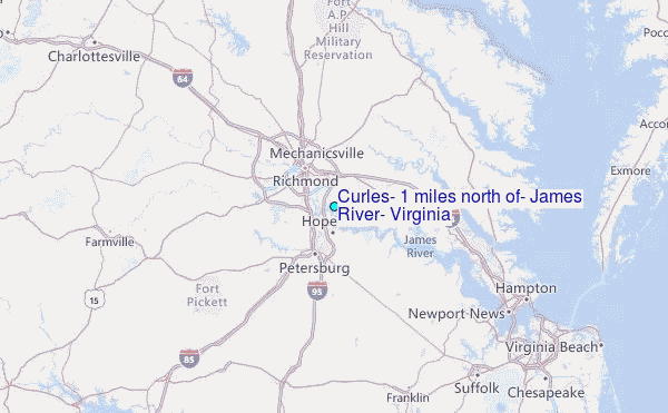