
| Distance / Altitude | Location | Report Date / Time | Live Weather | Wind | Gusts | Temp. | Visibility | Cloud |
|---|---|---|---|---|---|---|---|---|
| 27 km NW / 3 m | Santa Barbara Buoy (Marine) | 2026-06-19 00:10 local (2026/06/19 07:10 GMT) | - (- km/h at -) | — | - | |||
| 45 km SSE / 3 m | South Santa Rosa Island Buoy (Marine) | 2026-06-19 00:10 local (2026/06/19 07:10 GMT) | - (- km/h at -) | — | - | |||
| 52 km ENE / 3 m | East Santa Barbara Buoy (Marine) | 2026-06-19 00:10 local (2026/06/19 07:10 GMT) | moderate winds from the W (22 km/h at 260) | 16°C | - | |||
| 59 km WNW / 3 m | Harvest- CA (Marine) | 2026-06-19 00:26 local (2026/06/19 07:26 GMT) | - (- km/h at -) | 16°C | - | |||
| 63 km NE / 218 m | Santa Barbara Airport (California) | 2026-06-18 23:08 local (2026/06/19 06:08 GMT) | Dry and partly cloudy | calm (0 km/h at 0) | 16°C | 16 | broken | |
| 65 km NW / 3 m | BUOY-PTGC1 (Marine) | 2026-06-19 00:20 local (2026/06/19 07:20 GMT) | light winds from the NNW (17 km/h at 340) | 15°C | - | |||
| 66 km NNE / 220 m | Santa Ynez Airport (California) | 2026-06-18 23:35 local (2026/06/19 06:35 GMT) | Dry and cloudy | calm (0 km/h at 0) | 16°C | 16 | overcast | |
| 68 km NW / 708 m | Vandenberg Air Force Base Airport (California) | 2026-06-18 22:55 local (2026/06/19 05:55 GMT) | Dry and cloudy | light winds from the NNW (7 km/h at 330) | 15°C | 13 | overcast | |
| 69 km N / 168 m | Lompoc Airport (California) | 2026-06-18 22:51 local (2026/06/19 05:51 GMT) | Dry and cloudy | light winds from the WNW (6 km/h at 290) | 16°C | 16 | overcast | |
| 73 km ENE / 3 m | BUOY-NTBC1 (Marine) | 2026-06-18 23:36 local (2026/06/19 06:36 GMT) | light winds from the WSW (9 km/h at 240) | 16°C | - |
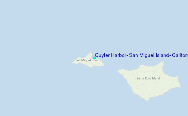
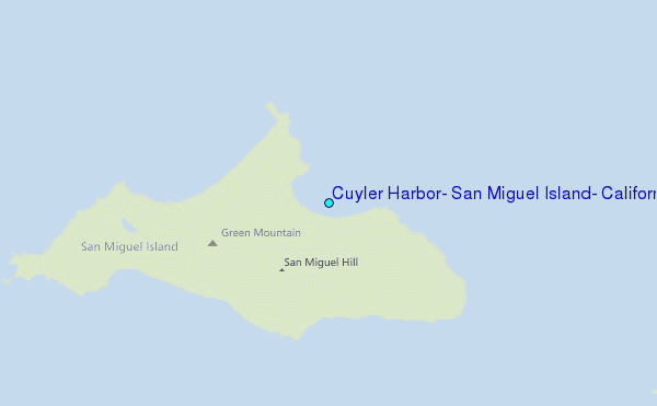
Choose Cuyler Harbor, San Miguel Island, California Location Map Zoom:
| Contours: | Roads & Rivers: | Select a
tide station / surf break / city |
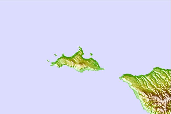
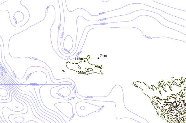
Use this relief map to navigate to tide stations, surf breaks and cities that are in the area of Cuyler Harbor, San Miguel Island, California.
Other Nearby Locations' tide tables and tide charts to Cuyler Harbor, San Miguel Island, California:
click location name for more details
 Surf breaks close to Cuyler Harbor, San Miguel Island, California:
|
||
|---|---|---|
| Closest surf break | Cojo | 28 mi |
| Second closest surf break | Government Point | 28 mi |
| Third closest surf break | Perkos | 28 mi |
| Fourth closest surf break | San Augustine | 28 mi |
| Fifth closest surf break | St Augustine Point | 28 mi |


 Nearest
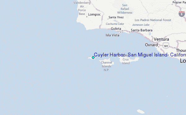