
| Distance / Altitude | Location | Report Date / Time | Live Weather | Wind | Gusts | Temp. | Visibility | Cloud |
|---|---|---|---|---|---|---|---|---|
| 63 km NE / 15 m | hy2c144E9S (Marine) | 2026-07-10 04:14 local (2026/07/09 18:14 GMT) | fresh winds from the SE (33 km/h at 140) | — | - km | |||
| 82 km S / 15 m | hy2c144E10S (Marine) | 2026-07-10 04:14 local (2026/07/09 18:14 GMT) | fresh winds from the SE (35 km/h at 138) | — | - km | |||
| 91 km SW / 4 m | Coconut Island (Australia) | 2026-07-10 06:00 local (2026/07/09 20:00 GMT) | no report | - (- km/h at -) | 26°C | - | - | |
| 104 km ENE / 15 m | hy2c145E9S (Marine) | 2026-07-10 04:14 local (2026/07/09 18:14 GMT) | fresh winds from the SE (35 km/h at 140) | — | - km | |||
| 105 km SSW / 15 m | hy2c143E10S (Marine) | 2026-07-10 04:14 local (2026/07/09 18:14 GMT) | fresh winds from the SE (35 km/h at 135) | — | - km | |||
| 121 km SE / 15 m | hy2c145E10S (Marine) | 2026-07-10 04:14 local (2026/07/09 18:14 GMT) | fresh winds from the SE (35 km/h at 135) | — | - km | |||
| 151 km NNE / 15 m | hy2c144E8S (Marine) | 2026-07-10 04:14 local (2026/07/09 18:14 GMT) | fresh winds from the SE (31 km/h at 142) | — | - km | |||
| 164 km SW / 15 m | SHIP2548 (Marine) | 2026-07-10 06:00 local (2026/07/09 20:00 GMT) | fresh winds from the ESE (32.4 km/h at 110) | 26°C | - km | |||
| 178 km NE / 15 m | hy2c145E8S (Marine) | 2026-07-10 04:14 local (2026/07/09 18:14 GMT) | fresh winds from the SE (33 km/h at 140) | — | - km | |||
| 184 km SW / 3 m | SHIP4747 (Marine) | 2026-07-10 05:00 local (2026/07/09 19:00 GMT) | strong winds from the ESE (40 km/h at 120) | 25°C | - |
| Contours: | Roads & Rivers: | Select a
tide station / surf break / city |
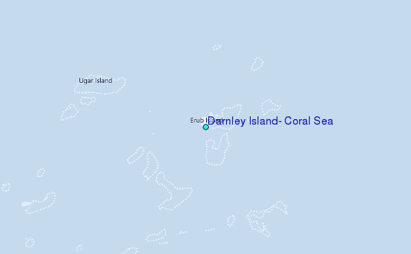
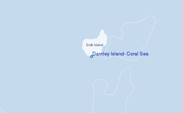
Use this relief map to navigate to tide stations, surf breaks and cities that are in the area of Darnley Island, Coral Sea.
Other Nearby Locations' tide tables and tide charts to Darnley Island, Coral Sea:
click location name for more details
 Surf breaks close to Darnley Island, Coral Sea:
|
||
|---|---|---|
| Closest surf break | Tupira Right | 374 mi |
| Second closest surf break | Forok Point | 413 mi |
| Third closest surf break | The Wharf (Mission Point) | 417 mi |
| Fourth closest surf break | Moem Point | 418 mi |
| Fifth closest surf break | Wewak Point | 418 mi |


 Nearest
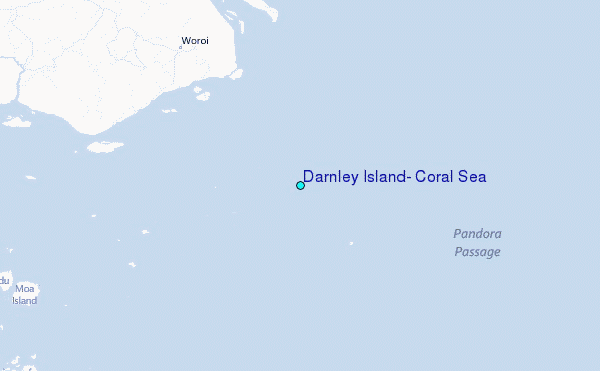