
| Distance / Altitude | Location | Report Date / Time | Live Weather | Wind | Gusts | Temp. | Visibility | Cloud |
|---|---|---|---|---|---|---|---|---|
| 7 km S / 3 m | BUOY-FPKG1 (Marine) | 2026-08-02 09:00 local (2026/08/02 13:00 GMT) | moderate winds from the SW (21 km/h at 220) | 28°C | - | |||
| 15 km SSW / 3 m | SHIP6106 (Marine) | 2026-08-02 07:00 local (2026/08/02 11:00 GMT) | - (- km/h at -) | — | - | |||
| 15 km SSW / 15 m | SHIP6296 (Marine) | 2026-08-02 07:00 local (2026/08/02 11:00 GMT) | - (- km/h at -) | — | - km | |||
| 15 km SSW / 15 m | SHIP3326 (Marine) | 2026-08-02 07:00 local (2026/08/02 11:00 GMT) | - (- km/h at -) | — | - km | |||
| 15 km SSW / 3 m | SHIP607 (Marine) | 2026-08-02 07:00 local (2026/08/02 11:00 GMT) | - (- km/h at -) | — | - | |||
| 15 km SSW / 3 m | SHIP8081 (Marine) | 2026-08-02 07:00 local (2026/08/02 11:00 GMT) | - (- km/h at -) | — | - | |||
| 15 km SSW / 3 m | SHIP7835 (Marine) | 2026-08-02 07:00 local (2026/08/02 11:00 GMT) | - (- km/h at -) | — | - | |||
| 15 km SSW / 3 m | SHIP3804 (Marine) | 2026-08-02 07:00 local (2026/08/02 11:00 GMT) | - (- km/h at -) | — | - | |||
| 15 km SSW / 3 m | SHIP7153 (Marine) | 2026-08-02 07:00 local (2026/08/02 11:00 GMT) | - (- km/h at -) | — | - | |||
| 15 km SSW / 3 m | SHIP163 (Marine) | 2026-08-02 07:00 local (2026/08/02 11:00 GMT) | - (- km/h at -) | — | - |
| Contours: | Roads & Rivers: | Select a
tide station / surf break / city |
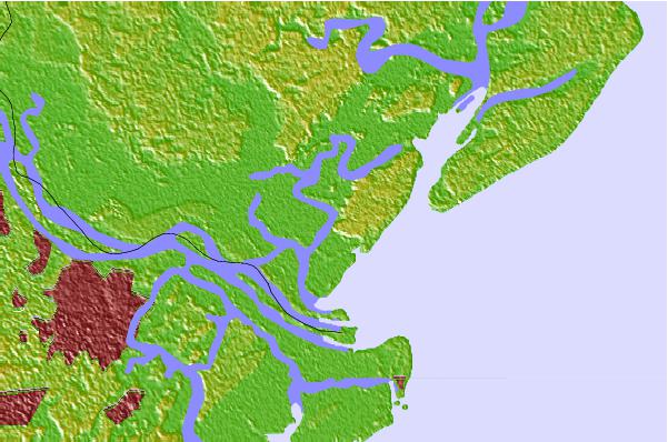
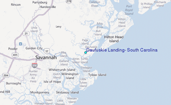
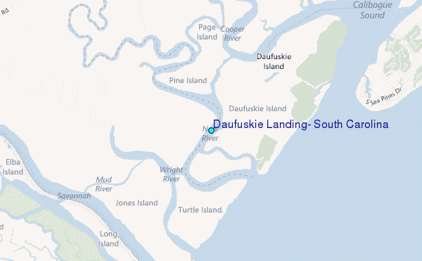
Use this relief map to navigate to tide stations, surf breaks and cities that are in the area of Daufuskie Landing, South Carolina.
Other Nearby Locations' tide tables and tide charts to Daufuskie Landing, South Carolina:
click location name for more details
 Surf breaks close to Daufuskie Landing, South Carolina:
|
||
|---|---|---|
| Closest surf break | North Jetty | 6 mi |
| Second closest surf break | Sugar Shack | 7 mi |
| Third closest surf break | 2nd Street | 7 mi |
| Fourth closest surf break | 17th Street Boardwalk | 8 mi |
| Fifth closest surf break | Tybee Pier | 8 mi |


 Nearest
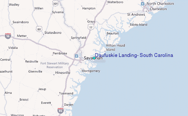