
| Distance / Altitude | Location | Report Date / Time | Live Weather | Wind | Gusts | Temp. | Visibility | Cloud |
|---|---|---|---|---|---|---|---|---|
| 911 km NW / 15 m | ASCATC71E61S (Marine) | 2026-07-10 00:18 local (2026/07/09 17:18 GMT) | fresh winds from the E (37 km/h at 91) | — | - km | |||
| 916 km NNE / 15 m | ASCATC86E61S (Marine) | 2026-07-10 00:17 local (2026/07/09 17:17 GMT) | moderate winds from the SSE (26 km/h at 151) | — | - km | |||
| 918 km NE / 15 m | ASCATC91E62S (Marine) | 2026-07-10 00:16 local (2026/07/09 17:16 GMT) | moderate winds from the SSW (25 km/h at 209) | — | - km | |||
| 926 km NNE / 15 m | ASCATC87E61S (Marine) | 2026-07-10 00:17 local (2026/07/09 17:17 GMT) | light winds from the ESE (15 km/h at 117) | — | - km | |||
| 927 km WNW / 15 m | ASCATC66E62S (Marine) | 2026-07-10 00:17 local (2026/07/09 17:17 GMT) | fresh winds from the E (30 km/h at 88) | — | - km | |||
| 929 km NW / 15 m | ASCATB70E61S (Marine) | 2026-07-10 01:32 local (2026/07/09 18:32 GMT) | fresh winds from the E (33 km/h at 99) | — | - km | |||
| 933 km NW / 15 m | ASCATC70E61S (Marine) | 2026-07-10 00:18 local (2026/07/09 17:18 GMT) | fresh winds from the E (29 km/h at 100) | — | - km | |||
| 935 km WNW / 15 m | ASCATB66E62S (Marine) | 2026-07-10 01:32 local (2026/07/09 18:32 GMT) | moderate winds from the ENE (24 km/h at 73) | — | - km | |||
| 938 km NNE / 15 m | ASCATC88E61S (Marine) | 2026-07-10 00:17 local (2026/07/09 17:17 GMT) | light winds from the SE (14 km/h at 125) | — | - km | |||
| 943 km NW / 15 m | ASCATB70E60S (Marine) | 2026-07-10 01:32 local (2026/07/09 18:32 GMT) | moderate winds from the E (28 km/h at 90) | — | - km |
| Contours: | Roads & Rivers: | Select a
tide station / surf break / city |
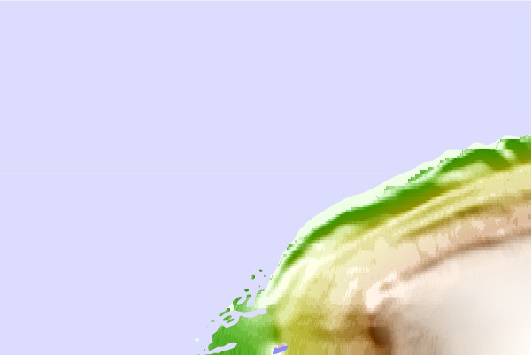
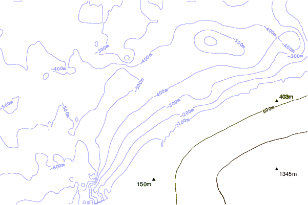

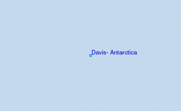
Use this relief map to navigate to tide stations, surf breaks and cities that are in the area of Davis, Antarctica.
Other Nearby Locations' tide tables and tide charts to Davis, Antarctica:
click location name for more details
 Surf breaks close to Davis, Antarctica:
|
||
|---|---|---|
| Closest surf break | Rocky Head | 2725 mi |
| Second closest surf break | Windy Harbour | 2726 mi |
| Third closest surf break | Hush Hush Beach | 2728 mi |
| Fourth closest surf break | Mandalay Beach | 2728 mi |
| Fifth closest surf break | Conspicuous Beach | 2730 mi |


 Nearest
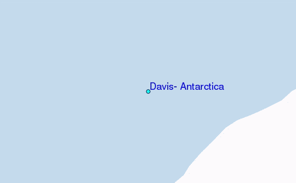