
| Distance / Altitude | Location | Report Date / Time | Live Weather | Wind | Gusts | Temp. | Visibility | Cloud |
|---|---|---|---|---|---|---|---|---|
| 177 km E / 23 m | Gurney (Papua New Guinea) | 2026-07-10 06:00 local (2026/07/09 20:00 GMT) | distant precipitation but not falling at station | - (- km/h at -) | 26°C | 30 | - | |
| 190 km W / 48 m | Port Moresby W.o. (Papua New Guinea) | 2026-07-10 07:00 local (2026/07/09 21:00 GMT) | haze | fresh winds from the SSE (30 km/h at 160) | 26°C | 20 | - | |
| 436 km NW / 15 m | SHIP1586 (Marine) | 2026-07-10 05:00 local (2026/07/09 19:00 GMT) | - (- km/h at -) | — | - km | |||
| 463 km NW / 70 m | Nadzab W.o. (Papua New Guinea) | 2026-07-10 07:00 local (2026/07/09 21:00 GMT) | rain | - (- km/h at -) | 25°C | 30 | - | |
| 592 km WNW / 1587 m | Goroka Highlands Airport (Papua-New Guinea) | 2026-07-10 07:00 local (2026/07/09 21:00 GMT) | - | - (- km/h at -) | — | 30 | - | |
| 434 km NW / 15 m | SHIP3041 (Marine) | 2026-07-10 05:00 local (2026/07/09 19:00 GMT) | - (- km/h at -) | — | - km | |||
| 434 km NW / 15 m | SHIP8172 (Marine) | 2026-07-10 05:00 local (2026/07/09 19:00 GMT) | - (- km/h at -) | — | - km | |||
| 439 km NW / 15 m | SHIP2546 (Marine) | 2026-07-10 06:00 local (2026/07/09 20:00 GMT) | - (- km/h at -) | — | - km | |||
| 439 km NW / 15 m | SHIP7627 (Marine) | 2026-07-10 06:00 local (2026/07/09 20:00 GMT) | - (- km/h at -) | — | - km | |||
| 439 km NW / 3 m | SHIP4330 (Marine) | 2026-07-10 06:00 local (2026/07/09 20:00 GMT) | - (- km/h at -) | 24°C | - |
| Contours: | Roads & Rivers: | Select a
tide station / surf break / city |
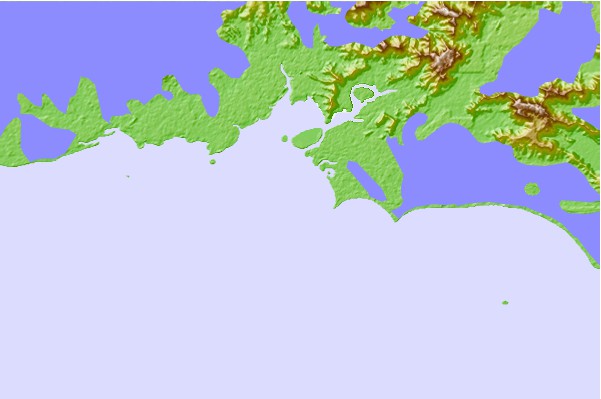
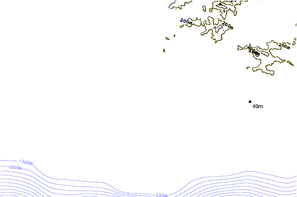
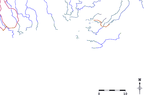
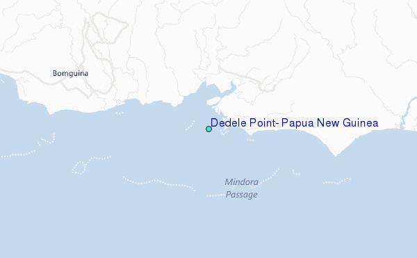
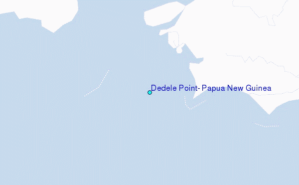
Use this relief map to navigate to tide stations, surf breaks and cities that are in the area of Dedele Point, Papua New Guinea.
Other Nearby Locations' tide tables and tide charts to Dedele Point, Papua New Guinea:
click location name for more details
 Surf breaks close to Dedele Point, Papua New Guinea:
|
||
|---|---|---|
| Closest surf break | Tupira Right | 459 mi |
| Second closest surf break | Raiven | 474 mi |
| Third closest surf break | Duke of York | 487 mi |
| Fourth closest surf break | Rubio | 526 mi |
| Fifth closest surf break | Edmago | 542 mi |


 Nearest