
| Distance / Altitude | Location | Report Date / Time | Live Weather | Wind | Gusts | Temp. | Visibility | Cloud |
|---|---|---|---|---|---|---|---|---|
| 20 km S / 396 m | Wildwood Airport (New Jersey) | 2026-08-03 11:05 local (2026/08/03 15:05 GMT) | Dry and cloudy | light winds from the S (15 km/h at 180) | 25°C | 16 | scattered overcast | |
| 27 km S / 3 m | BUOY-CMAN4 (Marine) | 2026-08-03 11:30 local (2026/08/03 15:30 GMT) | light winds from the S (9 km/h at 170) | 25°C | - | |||
| 30 km WNW / 218 m | Millville Airport (New Jersey) | 2026-08-03 11:37 local (2026/08/03 15:37 GMT) | Light rain | light winds from the SSW.(Wind varies from 008 to 013 degs) (6 km/h at 210) | 25°C | 16 | broken broken overcast | |
| 33 km SSW / 3 m | BUOY-BRND1 (Marine) | 2026-08-03 11:30 local (2026/08/03 15:30 GMT) | light winds from the SSW (18 km/h at 210) | 25°C | - | |||
| 38 km NNE / 217 m | Atlantic City Airport (New Jersey) | 2026-08-03 11:03 local (2026/08/03 15:03 GMT) | Light rain | light winds from the S (15 km/h at 190) | 24°C | 16 | few scattered broken | |
| 40 km SSW / 15 m | SHIP2818 (Marine) | 2026-08-03 10:00 local (2026/08/03 14:00 GMT) | - (- km/h at -) | — | - km | |||
| 40 km SSW / 15 m | SHIP6146 (Marine) | 2026-08-03 10:00 local (2026/08/03 14:00 GMT) | - (- km/h at -) | — | - km | |||
| 40 km SSW / 3 m | SHIP682 (Marine) | 2026-08-03 11:00 local (2026/08/03 15:00 GMT) | - (- km/h at -) | — | - | |||
| 40 km SSW / 3 m | SHIP7634 (Marine) | 2026-08-03 11:00 local (2026/08/03 15:00 GMT) | - (- km/h at -) | — | - | |||
| 40 km SSW / 3 m | SHIP1701 (Marine) | 2026-08-03 10:00 local (2026/08/03 14:00 GMT) | - (- km/h at -) | — | - |
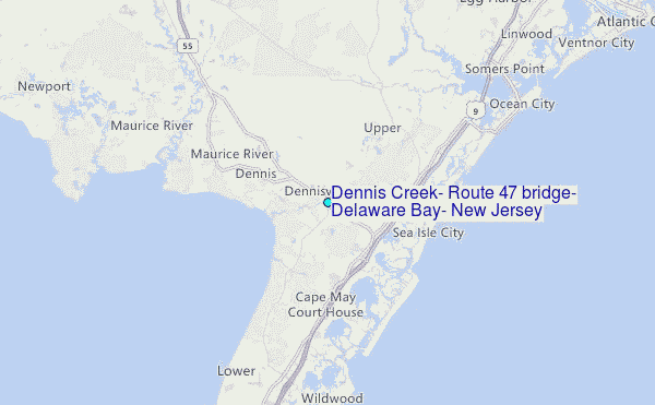
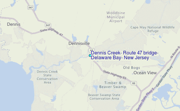
Choose Dennis Creek, Route 47 bridge, Delaware Bay, New Jersey Location Map Zoom:
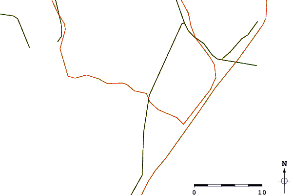
| Contours: | Roads & Rivers: | Select a
tide station / surf break / city |
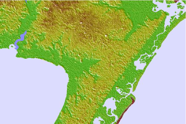

Use this relief map to navigate to tide stations, surf breaks and cities that are in the area of Dennis Creek, Route 47 bridge, Delaware Bay, New Jersey.
Other Nearby Locations' tide tables and tide charts to Dennis Creek, Route 47 bridge, Delaware Bay, New Jersey:
click location name for more details
 Surf breaks close to Dennis Creek, Route 47 bridge, Delaware Bay, New Jersey:
|
||
|---|---|---|
| Closest surf break | 52nd Street | 7 mi |
| Second closest surf break | 47th Street | 7 mi |
| Third closest surf break | St Phillip's | 7 mi |
| Fourth closest surf break | 37th Street Jetty | 7 mi |
| Fifth closest surf break | Avalon 15th Street | 8 mi |


 Nearest
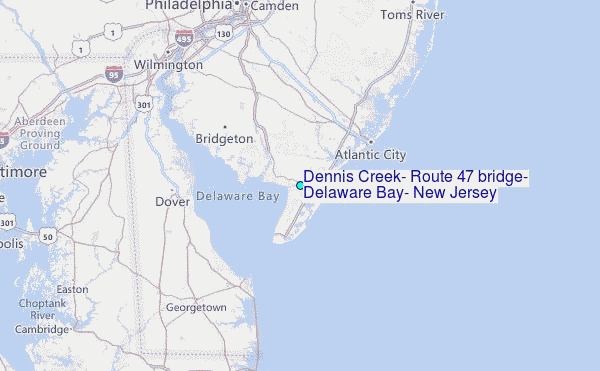