
| Distance / Altitude | Location | Report Date / Time | Live Weather | Wind | Gusts | Temp. | Visibility | Cloud |
|---|---|---|---|---|---|---|---|---|
| 19 km S / 407 m | Cape Skiring Airport (Senegal) | 2026-07-09 18:00 local (2026/07/09 18:00 GMT) | Dry and partly cloudy | light winds from the NW.(Wind varies from 270 to 360 degs) (15 km/h at 320) | 31°C | 10.0 | broken | |
| 51 km E / 482 m | Ziguinchor (Senegal) | 2026-07-09 18:00 local (2026/07/09 18:00 GMT) | Dry and partly cloudy | light winds from the NW (15 km/h at 320) | 33°C | 10.0 | broken | |
| 51 km E / 482 m | Ziguinchor Airport (Senegal) | 2026-07-09 18:00 local (2026/07/09 18:00 GMT) | Dry and partly cloudy | light winds from the NW (15 km/h at 320) | 33°C | 10.0 | broken | |
| 86 km N / 162 m | Banjul/Yundum International Airport (Gambia) | 2026-07-09 18:00 local (2026/07/09 18:00 GMT) | Dry and partly cloudy | light winds from the WSW (9 km/h at 250) | 30°C | 10.0 | broken scattered | |
| 136 km SSW / 15 m | SHIP585 (Marine) | 2026-07-09 17:00 local (2026/07/09 17:00 GMT) | - (- km/h at -) | — | - km | |||
| 136 km SSW / 3 m | SHIP6705 (Marine) | 2026-07-09 17:00 local (2026/07/09 17:00 GMT) | - (- km/h at -) | — | - | |||
| 136 km SSW / 3 m | SHIP4 (Marine) | 2026-07-09 17:00 local (2026/07/09 17:00 GMT) | - (- km/h at -) | — | - | |||
| 136 km SSW / 15 m | SHIP3010 (Marine) | 2026-07-09 17:00 local (2026/07/09 17:00 GMT) | - (- km/h at -) | — | - km | |||
| 136 km SSW / 3 m | SHIP3238 (Marine) | 2026-07-09 17:00 local (2026/07/09 17:00 GMT) | - (- km/h at -) | — | - | |||
| 136 km SSW / 3 m | SHIP219 (Marine) | 2026-07-09 17:00 local (2026/07/09 17:00 GMT) | - (- km/h at -) | — | - |
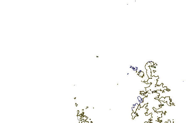
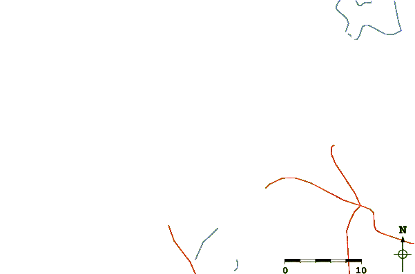
| Contours: | Roads & Rivers: | Select a
tide station / surf break / city |
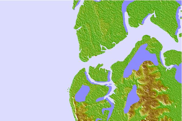
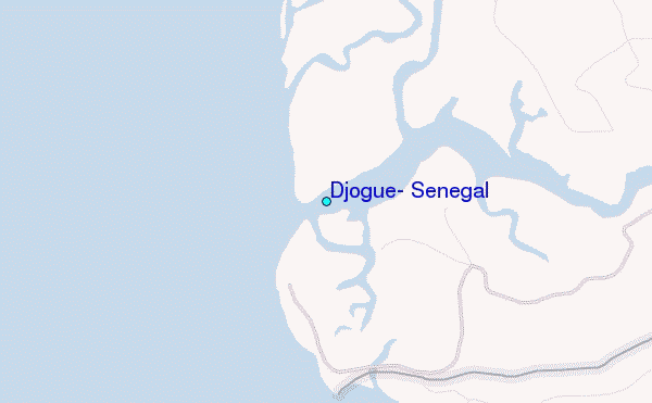
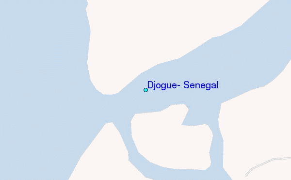
Use this relief map to navigate to tide stations, surf breaks and cities that are in the area of Djogue, Senegal.
Other Nearby Locations' tide tables and tide charts to Djogue, Senegal:
click location name for more details
 Surf breaks close to Djogue, Senegal:
|
||
|---|---|---|
| Closest surf break | Cap Skirring | 15 mi |
| Second closest surf break | Kololi Kotu Kombo | 58 mi |
| Third closest surf break | Senegambia Beach | 61 mi |
| Fourth closest surf break | Baobab (Somone) | 134 mi |
| Fifth closest surf break | Piere de Lisse | 140 mi |


 Nearest
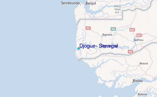