
| Distance / Altitude | Location | Report Date / Time | Live Weather | Wind | Gusts | Temp. | Visibility | Cloud |
|---|---|---|---|---|---|---|---|---|
| 12 km NW / 211 m | Weno Island/Chuuk International Airport (Micronesia) | 2026-07-10 07:50 local (2026/07/09 21:50 GMT) | Dry and cloudy | light winds from the N (13 km/h at 10) | 29°C | 24 | few scattered overcast | |
| 701 km E / 235 m | Pohnpei Airport (Micronesia) | 2026-07-10 07:58 local (2026/07/09 21:58 GMT) | Dry and cloudy | calm (4 km/h at 90) | 29°C | 24 | broken broken overcast | |
| 860 km SE / 7 m | Cassidy International Airport (Kiribati) | 2026-07-10 07:00 local (2026/07/09 21:00 GMT) | Dry and partly cloudy | wind obs. (13 kph from 80 degs) was rejected (- km/h at -) | 31°C | 10.0 | scattered | |
| 1019 km WNW / 218 m | Agana- Guam Airport (Guam) | 2026-07-10 07:54 local (2026/07/09 21:54 GMT) | Clear | light winds from the NE (19 km/h at 40) | 28°C | 16 | ||
| 1025 km WNW / 217 m | Mariana/Andersen Airport (Guam) | 2026-07-10 07:55 local (2026/07/09 21:55 GMT) | Dry and partly cloudy | light winds from the NNE (17 km/h at 20) | 27°C | 16 | broken broken | |
| 1025 km WNW / 3 m | BUOY-PGBP7 (Marine) | 2026-07-10 09:00 local (2026/07/09 23:00 GMT) | light winds from the ENE (8 km/h at 70) | — | - | |||
| 1026 km WNW / 73 m | Windward Hills wx (Guam) | 2026-07-10 09:16 local (2026/07/09 23:16 GMT) | dry | calm (0 km/h at 30) | 30°C | - | - - 0 | |
| 1032 km WNW / 36 m | Tamuning (Guam) | 2026-07-10 08:17 local (2026/07/09 22:17 GMT) | dry | light winds from the N (11 km/h at 360) | 29°C | - | - - 0 | |
| 1037 km WNW / 3 m | BUOY-APRP7 (Marine) | 2026-07-10 09:00 local (2026/07/09 23:00 GMT) | light winds from the NE (18 km/h at 40) | 29°C | - | |||
| 1040 km WNW / 15 m | SHIP5751 (Marine) | 2026-07-10 08:00 local (2026/07/09 22:00 GMT) | - (- km/h at -) | — | - km |
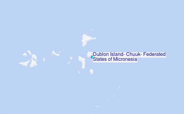
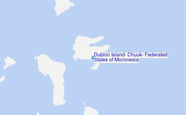
Choose Dublon Island, Chuuk, Federated States of Micronesia Location Map Zoom:
| Contours: | Roads & Rivers: | Select a
tide station / surf break / city |
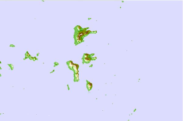
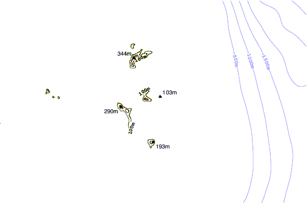

Use this relief map to navigate to tide stations, surf breaks and cities that are in the area of Dublon Island, Chuuk, Federated States of Micronesia.
Other Nearby Locations' tide tables and tide charts to Dublon Island, Chuuk, Federated States of Micronesia:
click location name for more details
 Surf breaks close to Dublon Island, Chuuk, Federated States of Micronesia:
|
||
|---|---|---|
| Closest surf break | Talofofo/The Bay | 635 mi |
| Second closest surf break | Pickop's Point | 636 mi |
| Third closest surf break | Threes | 638 mi |
| Fourth closest surf break | Ylig | 638 mi |
| Fifth closest surf break | Tubeys/Point Death | 638 mi |


 Nearest
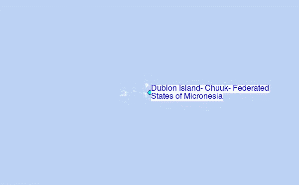