
| Distance / Altitude | Location | Report Date / Time | Live Weather | Wind | Gusts | Temp. | Visibility | Cloud |
|---|---|---|---|---|---|---|---|---|
| 9 km WSW / 116 m | East London (South Africa) | 2026-06-25 15:00 local (2026/06/25 13:00 GMT) | - | wind obs. (7 kph from 340 degs) was rejected (- km/h at -) | — | 60 | - - - | |
| 9 km WSW / 212 m | East London Airport (South Africa) | 2026-06-25 14:00 local (2026/06/25 12:00 GMT) | - | light winds from the NE.(Wind varies from 010 to 120 degs) (6 km/h at 50) | 20°C | 10.0 | few | |
| 61 km W / 590 m | Bisho (South Africa) | 2026-06-25 15:00 local (2026/06/25 13:00 GMT) | no report | wind obs. (13 kph from 80 degs) was rejected (- km/h at -) | 18°C | - | - | |
| 71 km WNW / 901 m | Dohne -Agr (South Africa) | 2026-06-25 15:00 local (2026/06/25 13:00 GMT) | no report | light winds from the SW (13 km/h at 230) | 17°C | - | - - - | |
| 74 km S / 15 m | SHIP8275 (Marine) | 2026-06-25 14:00 local (2026/06/25 12:00 GMT) | fresh winds from the NE (29.52 km/h at 50) | 21°C | 17.7 km | |||
| 74 km S / 15 m | SHIP2482 (Marine) | 2026-06-25 14:00 local (2026/06/25 12:00 GMT) | fresh winds from the NE (29.52 km/h at 50) | 21°C | 17.7 km | |||
| 74 km S / 3 m | SHIP6550 (Marine) | 2026-06-25 14:00 local (2026/06/25 12:00 GMT) | fresh winds from the NE (30 km/h at 50) | 21°C | 20.4 | |||
| 74 km S / 3 m | SHIP3751 (Marine) | 2026-06-25 14:00 local (2026/06/25 12:00 GMT) | fresh winds from the NE (30 km/h at 50) | 21°C | 20.4 | |||
| 74 km S / 3 m | SHIP254 (Marine) | 2026-06-25 14:00 local (2026/06/25 12:00 GMT) | fresh winds from the NE (30 km/h at 50) | 21°C | 20.4 | |||
| 113 km SW / 84 m | Port Alfred Arport (South Africa) | 2026-06-25 15:00 local (2026/06/25 13:00 GMT) | no report | wind obs. (13 kph from 60 degs) was rejected (- km/h at -) | 19°C | - | - |
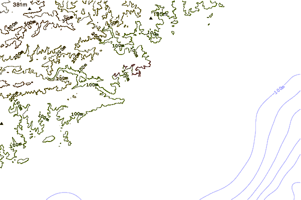
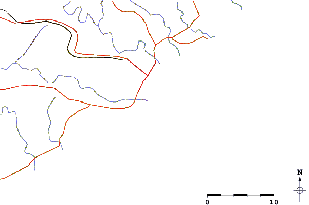
| Contours: | Roads & Rivers: | Select a
tide station / surf break / city |
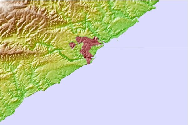
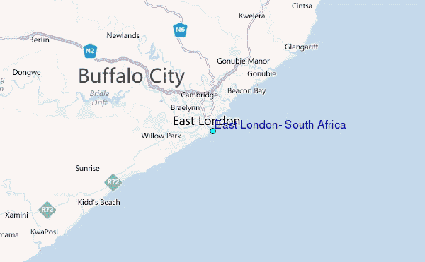
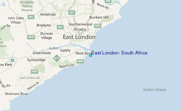
Use this relief map to navigate to tide stations, surf breaks and cities that are in the area of East London, South Africa.
Other Nearby Locations' tide tables and tide charts to East London, South Africa:
click location name for more details
 Surf breaks close to East London, South Africa:
|
||
|---|---|---|
| Closest surf break | Eastern Beach | 0 mi |
| Second closest surf break | Corner | 1 mi |
| Third closest surf break | Bonza Bay | 3 mi |
| Fourth closest surf break | Nahoon Reef | 3 mi |
| Fifth closest surf break | Nahoon Beach | 4 mi |


 Nearest