
| Distance / Altitude | Location | Report Date / Time | Live Weather | Wind | Gusts | Temp. | Visibility | Cloud |
|---|---|---|---|---|---|---|---|---|
| 11 km ESE / 10 m | Opol (PI) | 2026-07-10 03:17 local (2026/07/09 19:17 GMT) | dry | calm (0 km/h at 251) | 24°C | - | - - 0 | |
| 77 km SE / 892 m | Malaybalay (Philippines) | 2026-07-10 02:00 local (2026/07/09 18:00 GMT) | distant precipitation but not falling at station | light winds from the SSE (7 km/h at 150) | 25°C | 15 | - | |
| 101 km S / 702 m | lightning 8km NNW of Marogong (Philippines) | 2026-07-10 02:30 local (2026/07/09 18:30 GMT) | Thunderstorm | (- km/h at -) | — | |||
| 103 km S / 944 m | lightning 10km SW of Ganassi (Philippines) | 2026-07-10 03:16 local (2026/07/09 19:16 GMT) | Thunderstorm | (- km/h at -) | — | |||
| 112 km ENE / 46 m | Butuan (Philippines) | 2026-07-10 02:00 local (2026/07/09 18:00 GMT) | light to moderate thunderstorm | calm (4 km/h at 180) | 28°C | 8 | - | |
| 129 km WSW / 5 m | Dipolog Mindanao Island (Philippines) | 2026-07-10 02:00 local (2026/07/09 18:00 GMT) | continuous light rain | wind obs. (11 kph from 250 degs) was rejected (- km/h at -) | 26°C | 8 | - - - | |
| 134 km ENE / 36 m | Del Pilar wx (Philippines) | 2026-07-10 03:20 local (2026/07/09 19:20 GMT) | dry | calm (0 km/h at 24) | 24°C | - | - - 0 | |
| 146 km S / 0 m | lightning 27km SSW of Imelda (Philippines) | 2026-07-10 03:48 local (2026/07/09 19:48 GMT) | Thunderstorm | (- km/h at -) | — | |||
| 159 km S / 53 m | Cotabato-Mindanao (Philippines) | 2026-07-10 02:00 local (2026/07/09 18:00 GMT) | distant precipitation but not falling at station | calm (4 km/h at 190) | 27°C | 12 | - - - | |
| 159 km W / 8 m | Dumaguete (Philippines) | 2026-07-10 02:00 local (2026/07/09 18:00 GMT) | distant precipitation but not falling at station | wind obs. (11 kph from 110 degs) was rejected (- km/h at -) | 28°C | 10 | few scattered overcast |
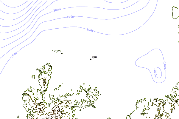
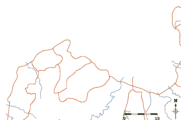
| Contours: | Roads & Rivers: | Select a
tide station / surf break / city |
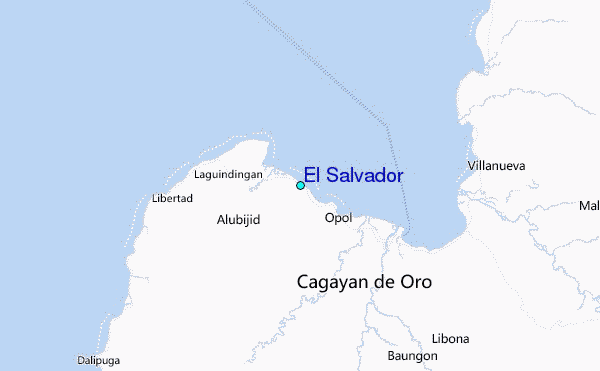
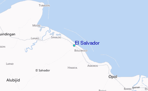
Use this relief map to navigate to tide stations, surf breaks and cities that are in the area of El Salvador.
Other Nearby Locations' tide tables and tide charts to El Salvador:
click location name for more details
 Surf breaks close to El Salvador:
|
||
|---|---|---|
| Closest surf break | Random Beach Break | 113 mi |
| Second closest surf break | Lanuza Rivermouth | 114 mi |
| Third closest surf break | Big Star | 118 mi |
| Fourth closest surf break | Marami Beach | 118 mi |
| Fifth closest surf break | Ayoke - Tinago | 119 mi |


 Nearest
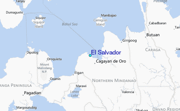