
| Distance / Altitude | Location | Report Date / Time | Live Weather | Wind | Gusts | Temp. | Visibility | Cloud |
|---|---|---|---|---|---|---|---|---|
| 27 km SSW / 3 m | BUOY-PGXA2 (Marine) | 2026-06-23 14:32 local (2026/06/23 22:32 GMT) | light winds from the E (13 km/h at 100) | 12°C | - | |||
| 32 km SE / 215 m | Kake Airport (Alaska) | 2026-06-23 12:56 local (2026/06/23 20:56 GMT) | Dry and cloudy | light winds from the W (15 km/h at 270) | 13°C | 16 | few overcast | |
| 39 km NW / 210 m | Angoon Seaplane Base Airport (United States) | 2026-06-23 12:56 local (2026/06/23 20:56 GMT) | Haze - | wind obs. (9 kph from 200 degs) was rejected (- km/h at -) | 14°C | 8 | overcast overcast - | |
| 40 km SE / 15 m | SHIP4346 (Marine) | 2026-06-23 13:00 local (2026/06/23 21:00 GMT) | moderate winds from the WNW (22.32 km/h at 300) | 10°C | - km | |||
| 41 km ENE / 3 m | BUOY-FFIA2 (Marine) | 2026-06-23 14:00 local (2026/06/23 22:00 GMT) | calm (5 km/h at 230) | 12°C | - | |||
| 40 km SE / 3 m | SHIP4777 (Marine) | 2026-06-23 14:00 local (2026/06/23 22:00 GMT) | moderate winds from the NW (22 km/h at 310) | 11°C | - | |||
| 40 km SE / 3 m | SHIP5935 (Marine) | 2026-06-23 12:00 local (2026/06/23 20:00 GMT) | moderate winds from the NW (22 km/h at 310) | 11°C | - | |||
| 40 km SE / 3 m | SHIP2091 (Marine) | 2026-06-23 12:00 local (2026/06/23 20:00 GMT) | moderate winds from the WNW (26 km/h at 300) | 11°C | - | |||
| 40 km SE / 15 m | SHIP2455 (Marine) | 2026-06-23 13:00 local (2026/06/23 21:00 GMT) | moderate winds from the WNW (22.32 km/h at 300) | 10°C | - km | |||
| 40 km SE / 15 m | SHIP1331 (Marine) | 2026-06-23 12:00 local (2026/06/23 20:00 GMT) | moderate winds from the WNW (25.92 km/h at 300) | 10°C | - km |
Choose Eliza Harbor, Admiralty Island, Alaska Location Map Zoom:
| Contours: | Roads & Rivers: | Select a
tide station / surf break / city |
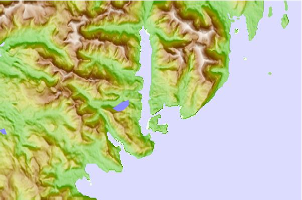
Use this relief map to navigate to tide stations, surf breaks and cities that are in the area of Eliza Harbor, Admiralty Island, Alaska.
Other Nearby Locations' tide tables and tide charts to Eliza Harbor, Admiralty Island, Alaska:
click location name for more details
 Surf breaks close to Eliza Harbor, Admiralty Island, Alaska:
|
||
|---|---|---|
| Closest surf break | Lepus Beach (Haida-Gwaii) | 214 mi |
| Second closest surf break | Tow Hill Beach | 236 mi |
| Third closest surf break | Cannon Beach | 255 mi |
| Fourth closest surf break | Graveyards | 259 mi |
| Fifth closest surf break | Ocean Cape | 260 mi |


 Nearest