
| Distance / Altitude | Location | Report Date / Time | Live Weather | Wind | Gusts | Temp. | Visibility | Cloud |
|---|---|---|---|---|---|---|---|---|
| 12 km ENE / 15 m | SHIP1645 (Marine) | 2026-06-23 20:00 local (2026/06/24 01:00 GMT) | - (- km/h at -) | — | - km | |||
| 12 km ENE / 3 m | SHIP5214 (Marine) | 2026-06-23 20:00 local (2026/06/24 01:00 GMT) | - (- km/h at -) | 29°C | - | |||
| 12 km ENE / 3 m | SHIP6511 (Marine) | 2026-06-23 20:00 local (2026/06/24 01:00 GMT) | - (- km/h at -) | 29°C | - | |||
| 12 km ENE / 15 m | SHIP4087 (Marine) | 2026-06-23 20:00 local (2026/06/24 01:00 GMT) | - (- km/h at -) | — | - km | |||
| 12 km ENE / 3 m | SHIP7993 (Marine) | 2026-06-23 20:00 local (2026/06/24 01:00 GMT) | - (- km/h at -) | 29°C | - | |||
| 12 km ENE / 15 m | SHIP2935 (Marine) | 2026-06-23 20:00 local (2026/06/24 01:00 GMT) | - (- km/h at -) | — | - km | |||
| 12 km ENE / 3 m | SHIP8163 (Marine) | 2026-06-23 20:00 local (2026/06/24 01:00 GMT) | - (- km/h at -) | 29°C | - | |||
| 12 km ENE / 3 m | SHIP994 (Marine) | 2026-06-23 20:00 local (2026/06/24 01:00 GMT) | - (- km/h at -) | 29°C | - | |||
| 12 km ENE / 15 m | SHIP7030 (Marine) | 2026-06-23 20:00 local (2026/06/24 01:00 GMT) | - (- km/h at -) | — | - km | |||
| 17 km N / 15 m | SHIP2518 (Marine) | 2026-06-23 21:00 local (2026/06/24 02:00 GMT) | - (- km/h at -) | — | - km |
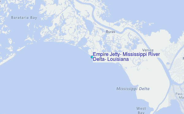
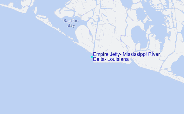
Choose Empire Jetty, Mississippi River Delta, Louisiana Location Map Zoom:
| Contours: | Roads & Rivers: | Select a
tide station / surf break / city |
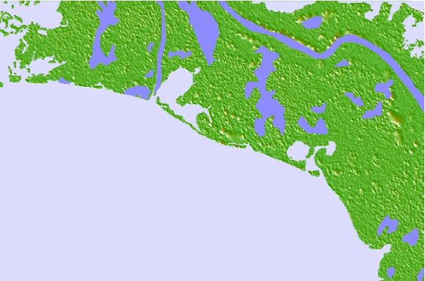

Use this relief map to navigate to tide stations, surf breaks and cities that are in the area of Empire Jetty, Mississippi River Delta, Louisiana.
Other Nearby Locations' tide tables and tide charts to Empire Jetty, Mississippi River Delta, Louisiana:
click location name for more details
 Surf breaks close to Empire Jetty, Mississippi River Delta, Louisiana:
|
||
|---|---|---|
| Closest surf break | Chandeleur Islands | 62 mi |
| Second closest surf break | Dauphin Island Pier | 115 mi |
| Third closest surf break | West Pass | 132 mi |
| Fourth closest surf break | Terry s Cove | 140 mi |
| Fifth closest surf break | Alabama Point | 142 mi |


 Nearest
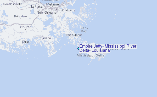