
| Distance / Altitude | Location | Report Date / Time | Live Weather | Wind | Gusts | Temp. | Visibility | Cloud |
|---|---|---|---|---|---|---|---|---|
| 657 km ESE / 215 m | Kwajalein/buchol Airport (Marshall Islands) | 2026-07-10 07:40 local (2026/07/09 19:40 GMT) | Dry and partly cloudy | calm (0 km/h at 0) | 28°C | 16 | broken scattered broken | |
| 657 km ESE / 3 m | BUOY-KWJP8 (Marine) | 2026-07-10 07:48 local (2026/07/09 19:48 GMT) | - (- km/h at -) | — | - | |||
| 664 km SSW / 192 m | Pohnpei Airport (Micronesia) | 2026-07-10 06:50 local (2026/07/09 18:50 GMT) | Dry and cloudy | calm (0 km/h at 0) | 25°C | 24 | broken overcast overcast | |
| 991 km NNE / 3 m | BUOY-WAKP8 (Marine) | 2026-07-10 07:48 local (2026/07/09 19:48 GMT) | light winds from the ESE (18 km/h at 110) | 29°C | - | |||
| 992 km NNE / 194 m | Wake Island Airfield Airport (Wake Island) | 2026-07-10 06:55 local (2026/07/09 18:55 GMT) | - | light winds from the E (15 km/h at 100) | 28°C | 11 | few | |
| 1081 km ESE / 208 m | Majuro Atoll Airport (Marshall Islands) | 2026-07-10 06:50 local (2026/07/09 18:50 GMT) | Dry and cloudy | calm (0 km/h at 0) | 28°C | 24 | few scattered overcast | |
| 1087 km ESE / 169 m | Majuro Wso Airport (Marshall Islands) | 2026-07-10 07:53 local (2026/07/09 19:53 GMT) | Dry and partly cloudy | light winds from the N (7 km/h at 1) | — | 24 | few scattered broken | |
| 1099 km ESE / 3 m | Kalo- Majuro- Marshall Islands (Marine) | 2026-07-10 06:30 local (2026/07/09 18:30 GMT) | - (- km/h at -) | 26°C | - | |||
| 1113 km ESE / 3 m | BUOY-52216 (Marine) | 2026-07-10 07:30 local (2026/07/09 19:30 GMT) | - (- km/h at -) | — | - | |||
| 1169 km S / 7 m | Cassidy International Airport (Kiribati) | 2026-07-10 07:00 local (2026/07/09 19:00 GMT) | Dry and partly cloudy | wind obs. (7 kph from 90 degs) was rejected (- km/h at -) | 31°C | 10.0 | few scattered |
| Contours: | Roads & Rivers: | Select a
tide station / surf break / city |
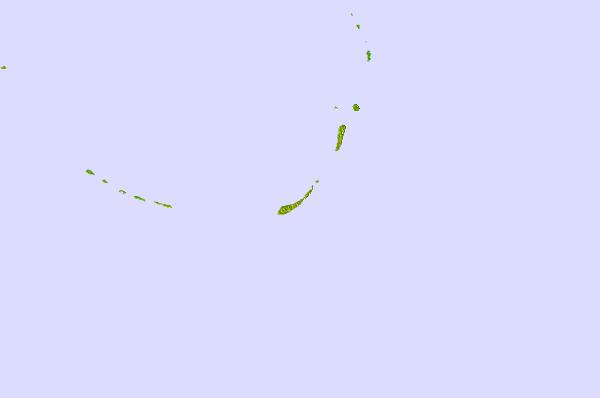
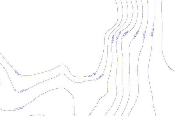
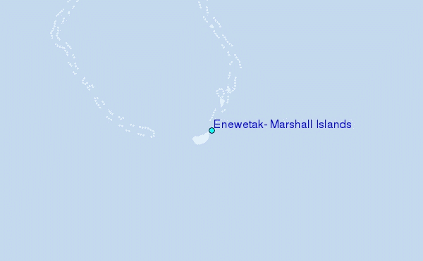
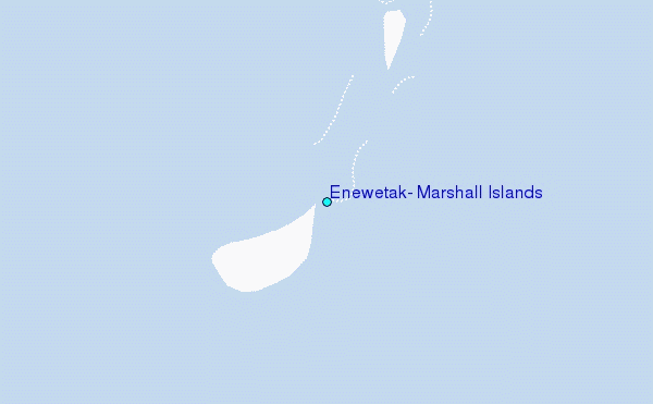
Use this relief map to navigate to tide stations, surf breaks and cities that are in the area of Enewetak, Marshall Islands.
Other Nearby Locations' tide tables and tide charts to Enewetak, Marshall Islands:
click location name for more details
 Surf breaks close to Enewetak, Marshall Islands:
|
||
|---|---|---|
| Closest surf break | Sidedish | 418 mi |
| Second closest surf break | Walung | 419 mi |
| Third closest surf break | Naa | 990 mi |
| Fourth closest surf break | Bird Island | 1144 mi |
| Fifth closest surf break | Tank Beach | 1147 mi |


 Nearest