
| Distance / Altitude | Location | Report Date / Time | Live Weather | Wind | Gusts | Temp. | Visibility | Cloud |
|---|---|---|---|---|---|---|---|---|
| 19 km NNE / 212 m | Chiclayo/Capitán FAP José A. Quiñones Gonzales International Airport (Peru) | 2026-07-09 13:00 local (2026/07/09 18:00 GMT) | Dry and cloudy | light winds from the ESE.(Wind varies from 050 to 160 degs) (6 km/h at 110) | 26°C | 10.0 | overcast | |
| 155 km E / 2934 m | Cajamarca/Major General FAP Armando Revoredo Iglesias Airport (Peru) | 2026-07-09 13:30 local (2026/07/09 18:30 GMT) | - | light winds from the E.(Wind varies from 010 to 160 degs) (7 km/h at 90) | — | 10.0 | few scattered - | |
| 157 km SE / 215 m | Trujillo Airport (Peru) | 2026-07-09 13:00 local (2026/07/09 18:00 GMT) | Dry and partly cloudy | wind obs. (17 kph from 170 degs) was rejected (- km/h at -) | 23°C | 9.0 | broken | |
| 211 km NW / 1 m | Piura/Capitán FAP Guillermo Concha Iberico International Airport (Peru) | 2026-07-09 13:00 local (2026/07/09 18:00 GMT) | Dry and partly cloudy | light winds from the SSW (13 km/h at 210) | 29°C | 10.0 | broken | |
| 239 km ENE / 1919 m | Chachapoyas Airport (Peru) | 2026-07-09 13:00 local (2026/07/09 18:00 GMT) | Dry and partly cloudy | light winds from the NNE (9 km/h at 20) | 19°C | 10.0 | scattered | |
| 288 km SSE / 3 m | Chimbote/Teniente FAP Jaime Montreuil Morales Airport (Peru) | 2026-07-09 13:00 local (2026/07/09 18:00 GMT) | Dry and cloudy | moderate winds from the SSW (26 km/h at 200) | 23°C | 10.0 | overcast | |
| 304 km NW / 220 m | Talara/Cap. FAP Víctor Montes Arias International Airport (Peru) | 2026-07-09 13:00 local (2026/07/09 18:00 GMT) | - | moderate winds from the S (24 km/h at 190) | — | 0.0 | ||
| 329 km N / 1237 m | Ciudad de Catamayo Airport (Ecuador) | 2026-07-09 13:00 local (2026/07/09 18:00 GMT) | - | light winds from the ENE (17 km/h at 70) | 29°C | 10.0 | few - - | |
| 348 km E / 2 m | Juanjui Airport (Peru) | 2026-07-09 13:00 local (2026/07/09 18:00 GMT) | Dry and partly cloudy | wind obs. (6 kph from 120 degs) was rejected (- km/h at -) | 30°C | 10.0 | scattered | |
| 365 km SE / 3079 m | Huaraz Anta/Comandante FAP Germán Arias Graziani Airport (Peru) | 2026-07-09 13:00 local (2026/07/09 18:00 GMT) | - | light winds from the NE.(Wind varies from 020 to 120 degs) (15 km/h at 40) | — | 0.0 |
| Contours: | Roads & Rivers: | Select a
tide station / surf break / city |
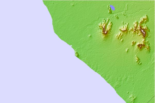
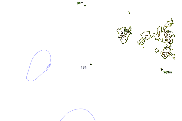
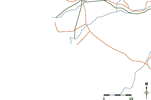
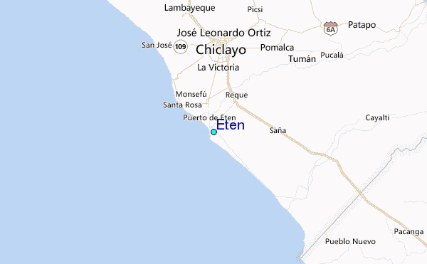
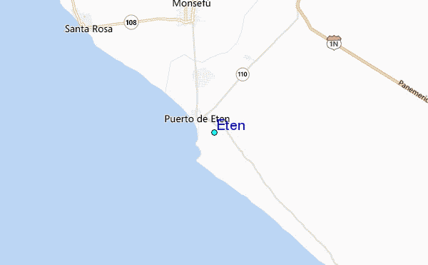
Use this relief map to navigate to tide stations, surf breaks and cities that are in the area of Eten.
Other Nearby Locations' tide tables and tide charts to Eten:
click location name for more details
 Surf breaks close to Eten:
|
||
|---|---|---|
| Closest surf break | La Farola | 1 mi |
| Second closest surf break | Pimentel | 8 mi |
| Third closest surf break | Cherrepe | 20 mi |
| Fourth closest surf break | Boca del Rio | 33 mi |
| Fifth closest surf break | Pacasmayo | 38 mi |


 Nearest
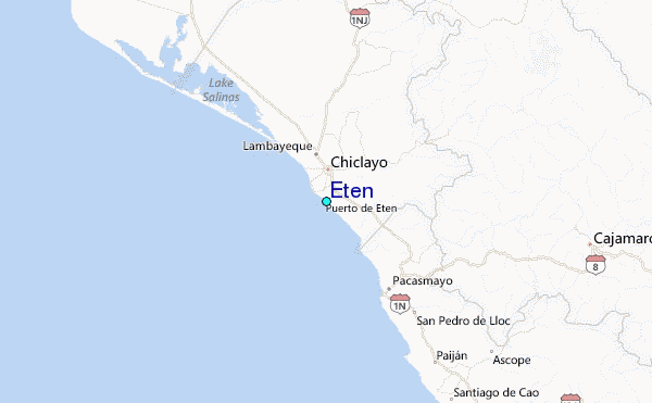