
| Distance / Altitude | Location | Report Date / Time | Live Weather | Wind | Gusts | Temp. | Visibility | Cloud |
|---|---|---|---|---|---|---|---|---|
| 8 km ENE / 3 m | BUOY-BRHC3 (Marine) | 2026-07-05 19:00 local (2026/07/05 23:00 GMT) | calm (5 km/h at 100) | 24°C | - | |||
| 11 km ENE / 200 m | Bridgeport Airport (Connecticut) | 2026-07-05 17:52 local (2026/07/05 21:52 GMT) | Clear | light winds from the E (17 km/h at 90) | 24°C | 16 | ||
| 31 km WNW / 218 m | Danbury Airport (Connecticut) | 2026-07-05 17:53 local (2026/07/05 21:53 GMT) | - | light winds from the SSE (9 km/h at 150) | 25°C | 16 | few | |
| 32 km SE / 44 m | Terryville (New York) | 2026-07-05 19:18 local (2026/07/05 23:18 GMT) | dry | calm (2 km/h at 154) | 23°C | - | - - 0 | |
| 33 km ENE / 3 m | BUOY-NWHC3 (Marine) | 2026-07-05 19:00 local (2026/07/05 23:00 GMT) | light winds from the SE (11 km/h at 130) | 24°C | - | |||
| 36 km ENE / 218 m | New Haven/Tweed Airport (Connecticut) | 2026-07-05 17:53 local (2026/07/05 21:53 GMT) | Clear | light winds from the SE (19 km/h at 130) | 24°C | 14 | ||
| 38 km SW / 218 m | White Plains Airport (New York) | 2026-07-05 17:56 local (2026/07/05 21:56 GMT) | Dry and partly cloudy | light winds from the E (11 km/h at 100) | 25°C | 16 | broken | |
| 38 km NNE / 684 m | Oxford/Waterbury Airport (Connecticut) | 2026-07-05 17:56 local (2026/07/05 21:56 GMT) | Dry and partly cloudy | light winds from the SSE (9 km/h at 160) | 25°C | 16 | broken | |
| 38 km S / 41 m | Dix Hills (New York) | 2026-07-05 19:19 local (2026/07/05 23:19 GMT) | dry | calm (0 km/h at 180) | 24°C | - | - - 0 | |
| 38 km S / 283 m | Brookhaven Lab Airport (New York) | 2026-07-05 18:35 local (2026/07/05 22:35 GMT) | Clear | light winds from the ESE (7 km/h at 110) | 33°C | 16 |
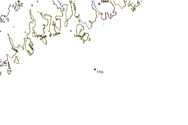
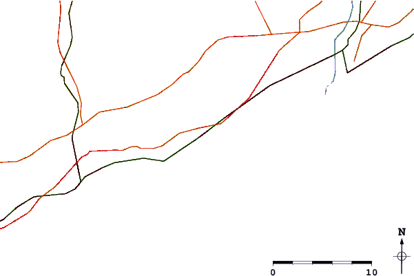
| Contours: | Roads & Rivers: | Select a
tide station / surf break / city |
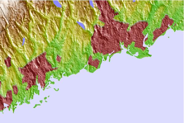
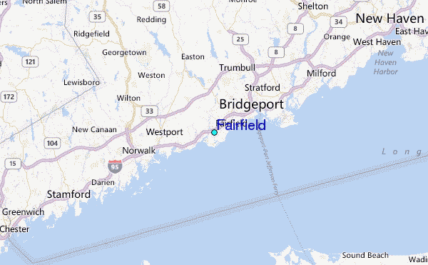
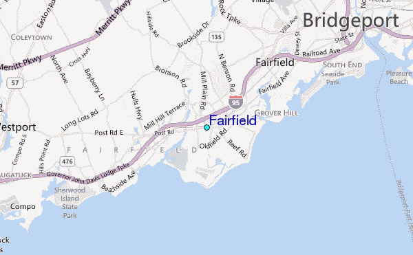
Use this relief map to navigate to tide stations, surf breaks and cities that are in the area of Fairfield.
Other Nearby Locations' tide tables and tide charts to Fairfield:
click location name for more details
 Surf breaks close to Fairfield:
|
||
|---|---|---|
| Closest surf break | Point o Woods | 35 mi |
| Second closest surf break | Coastguards | 35 mi |
| Third closest surf break | Fire Island | 35 mi |
| Fourth closest surf break | Democrat Point Robert Moses | 36 mi |
| Fifth closest surf break | Robert Moses State Park | 36 mi |


 Nearest
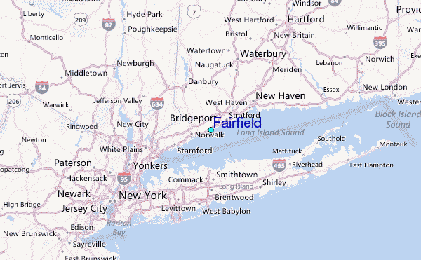