
| Distance / Altitude | Location | Report Date / Time | Live Weather | Wind | Gusts | Temp. | Visibility | Cloud |
|---|---|---|---|---|---|---|---|---|
| 83 km SSE / 3 m | Central Aleutians Buoy (Marine) | 2026-06-19 03:20 local (2026/06/19 12:20 GMT) | light winds from the E (7 km/h at 90) | 6°C | - | |||
| 122 km WSW / 3 m | BUOY-ATKA2 (Marine) | 2026-06-19 03:00 local (2026/06/19 12:00 GMT) | light winds from the SE (15 km/h at 140) | 5°C | - | |||
| 124 km WSW / 211 m | Atka Airport (Alaska) | 2026-06-19 01:56 local (2026/06/19 10:56 GMT) | Dry and cloudy | light winds from the SE (19 km/h at 130) | 5°C | 14 | overcast | |
| 124 km WSW / 17 m | Atka Airport (Alaska) | 2026-06-19 02:56 local (2026/06/19 11:56 GMT) | Dry and cloudy | light winds from the ESE (11 km/h at 120) | 5°C | 14 | overcast | |
| 248 km ENE / 3 m | BUOY-NKLA2 (Marine) | 2026-06-19 03:32 local (2026/06/19 12:32 GMT) | light winds from the ENE (11 km/h at 70) | 5°C | - | |||
| 292 km N / 3 m | Southeast Bering Sea Buoy (Marine) | 2026-06-19 02:50 local (2026/06/19 11:50 GMT) | light winds from the SE (7 km/h at 130) | — | - | |||
| 296 km WSW / 506 m | Adak Naval Air Station Airport (Alaska) | 2026-06-19 01:56 local (2026/06/19 10:56 GMT) | Dry and cloudy | moderate winds from the S (24 km/h at 170) | 6°C | 16 | overcast | |
| 296 km WSW / 4 m | Adak Naval Air Station Airport (Alaska) | 2026-06-19 02:56 local (2026/06/19 11:56 GMT) | Dry and cloudy | moderate winds from the SSE (24 km/h at 160) | 5°C | 16 | overcast | |
| 296 km WSW / 3 m | BUOY-ADKA2 (Marine) | 2026-06-19 03:00 local (2026/06/19 12:00 GMT) | light winds from the SE (17 km/h at 130) | 5°C | - | |||
| 412 km WSW / 15 m | SHIP3915 (Marine) | 2026-06-19 02:00 local (2026/06/19 11:00 GMT) | moderate winds from the S (24.12 km/h at 190) | 6°C | - km |
| Contours: | Roads & Rivers: | Select a
tide station / surf break / city |
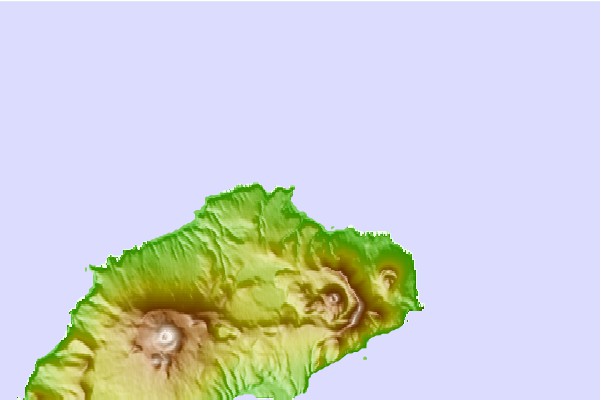

Use this relief map to navigate to tide stations, surf breaks and cities that are in the area of Finch Cove, Seguam Island, Alaska.
Other Nearby Locations' tide tables and tide charts to Finch Cove, Seguam Island, Alaska:
click location name for more details
 Surf breaks close to Finch Cove, Seguam Island, Alaska:
|
||
|---|---|---|
| Closest surf break | Fossil Beach Kodiak | 866 mi |
| Second closest surf break | Monashka Bay | 871 mi |
| Third closest surf break | Termination Point | 872 mi |
| Fourth closest surf break | Mill Bay | 873 mi |
| Fifth closest surf break | Bird Point (Tidal Bore) | 979 mi |


 Nearest