
| Distance / Altitude | Location | Report Date / Time | Live Weather | Wind | Gusts | Temp. | Visibility | Cloud |
|---|---|---|---|---|---|---|---|---|
| 11 km NW / 3 m | BUOY-KTNF1 (Marine) | 2026-07-26 09:50 local (2026/07/26 13:50 GMT) | moderate winds from the NW (21 km/h at 310) | 29°C | - | |||
| 37 km N / 14 m | Perry Foley Airport (Florida) (Florida) | 2026-07-26 09:35 local (2026/07/26 13:35 GMT) | Clear | light winds from the NW (9 km/h at 320) | 30°C | 11 | ||
| 47 km ESE / 219 m | Cross City Airport (Florida) | 2026-07-26 09:35 local (2026/07/26 13:35 GMT) | Clear | light winds from the WNW (7 km/h at 300) | 29°C | 16 | ||
| 80 km NE / 32 m | Live Oak Airport (Florida) (Florida) | 2026-07-26 09:35 local (2026/07/26 13:35 GMT) | Clear | calm (0 km/h at 0) | 29°C | 16 | ||
| 82 km SE / 3 m | BUOY-CDRF1 (Marine) | 2026-07-26 10:00 local (2026/07/26 14:00 GMT) | light winds from the WNW (9 km/h at 300) | 31°C | - | |||
| 83 km SE / 3 m | BUOY-CKYF1 (Marine) | 2026-07-26 09:48 local (2026/07/26 13:48 GMT) | light winds from the NW (13 km/h at 320) | 31°C | - | |||
| 85 km W / 1 m | Alligator Point wx (United States) | 2026-07-26 10:09 local (2026/07/26 14:09 GMT) | dry | light winds from the NNW (13 km/h at 346) | 31°C | - | - - 0 | |
| 93 km NW / 38 m | Monticello (Florida) | 2026-07-26 09:24 local (2026/07/26 13:24 GMT) | dry | calm (2 km/h at 302) | 32°C | - | - - 0 | |
| 102 km WNW / 28 m | Perkins wx (United States) | 2026-07-26 10:19 local (2026/07/26 14:19 GMT) | dry | calm (2 km/h at 292) | 30°C | - | - - 0 | |
| 104 km ENE / 62 m | Lake City Airport (Florida) (Florida) | 2026-07-26 09:35 local (2026/07/26 13:35 GMT) | Clear | light winds from the WNW (9 km/h at 300) | 29°C | 16 |
| Contours: | Roads & Rivers: | Select a
tide station / surf break / city |
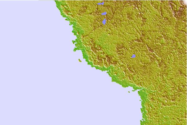

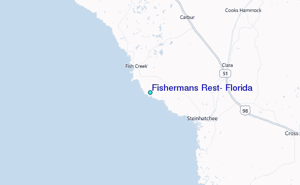
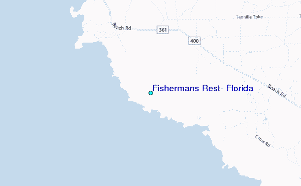
Use this relief map to navigate to tide stations, surf breaks and cities that are in the area of Fishermans Rest, Florida.
Other Nearby Locations' tide tables and tide charts to Fishermans Rest, Florida:
click location name for more details
 Surf breaks close to Fishermans Rest, Florida:
|
||
|---|---|---|
| Closest surf break | St George Island | 81 mi |
| Second closest surf break | Anclote Island | 114 mi |
| Third closest surf break | Honeymoon Island | 119 mi |
| Fourth closest surf break | Clearwater Pass | 129 mi |
| Fifth closest surf break | Sand Key Park | 130 mi |


 Nearest
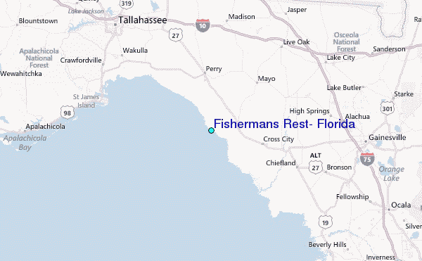