
| Distance / Altitude | Location | Report Date / Time | Live Weather | Wind | Gusts | Temp. | Visibility | Cloud |
|---|---|---|---|---|---|---|---|---|
| 24 km E / 3 m | BUOY-CHCM2 (Marine) | 2026-06-15 23:48 local (2026/06/16 03:48 GMT) | calm (4 km/h at 270) | — | - | |||
| 34 km ENE / 24 m | Newark (Delaware) | 2026-06-15 23:14 local (2026/06/16 03:14 GMT) | dry | calm (0 km/h at 293) | 18°C | - | - - 0 | |
| 35 km SSW / 203 m | Baltimore/Martin State Airport (Maryland) | 2026-06-15 23:35 local (2026/06/16 03:35 GMT) | Dry and partly cloudy | calm (0 km/h at 0) | 19°C | 16 | scattered | |
| 35 km S / 3 m | BUOY-TCBM2 (Marine) | 2026-06-15 23:48 local (2026/06/16 03:48 GMT) | moderate winds from the WNW (22 km/h at 300) | — | - | |||
| 43 km ENE / 3 m | BUOY-DELD1 (Marine) | 2026-06-15 23:48 local (2026/06/16 03:48 GMT) | light winds from the WNW (9 km/h at 290) | — | - | |||
| 45 km ENE / 216 m | Wilmington Airport (Delaware) | 2026-06-15 22:51 local (2026/06/16 02:51 GMT) | - | light winds from the WNW (11 km/h at 290) | 18°C | 16 | few | |
| 49 km SSW / - m | SHIP1782 (ocean) | 2026-06-16 00:00 local (2026/06/16 04:00 GMT) | - | fresh winds from the WNW (32 km/h at 300) | 21°C | - | no observation | |
| 49 km SSW / - m | SHIP1969 (ocean) | 2026-06-16 00:00 local (2026/06/16 04:00 GMT) | - | fresh winds from the NW (29 km/h at 310) | 21°C | - | no observation | |
| 49 km SSW / - m | SHIP875 (ocean) | 2026-06-15 22:00 local (2026/06/16 02:00 GMT) | - | moderate winds from the WNW (22 km/h at 290) | 22°C | - | no observation | |
| 49 km SSW / - m | SHIP740 (ocean) | 2026-06-15 23:00 local (2026/06/16 03:00 GMT) | - | moderate winds from the W (22 km/h at 270) | 21°C | - | no observation |
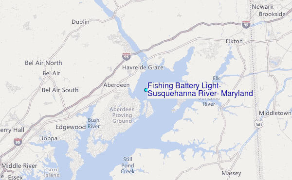
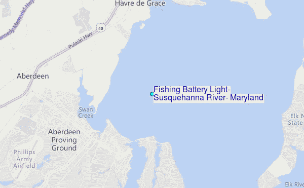
Choose Fishing Battery Light, Susquehanna River, Maryland Location Map Zoom:
| Contours: | Roads & Rivers: | Select a
tide station / surf break / city |
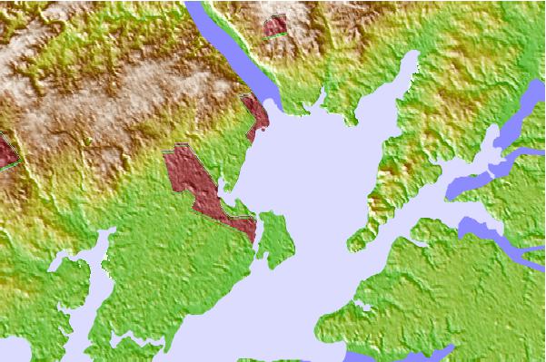
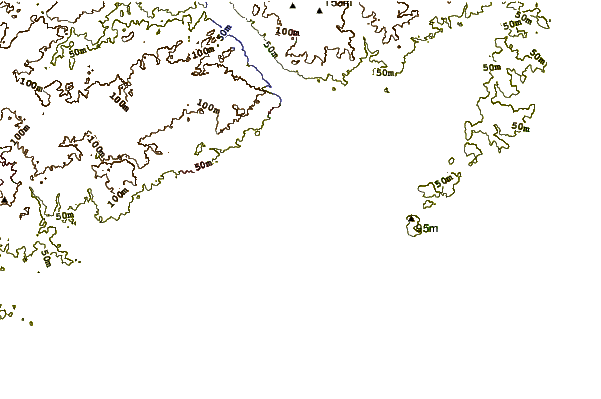
Use this relief map to navigate to tide stations, surf breaks and cities that are in the area of Fishing Battery Light, Susquehanna River, Maryland.
Other Nearby Locations' tide tables and tide charts to Fishing Battery Light, Susquehanna River, Maryland:
click location name for more details
 Surf breaks close to Fishing Battery Light, Susquehanna River, Maryland:
|
||
|---|---|---|
| Closest surf break | Naval Jetties | 73 mi |
| Second closest surf break | The Cove Cape May | 73 mi |
| Third closest surf break | Broadway | 73 mi |
| Fourth closest surf break | The Cove Delaware | 73 mi |
| Fifth closest surf break | Queen Street | 74 mi |


 Nearest
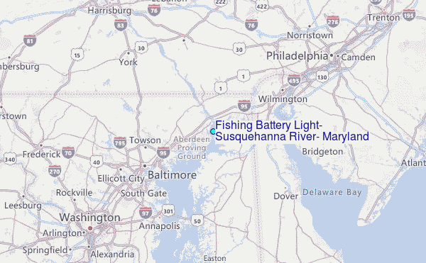