
| Distance / Altitude | Location | Report Date / Time | Live Weather | Wind | Gusts | Temp. | Visibility | Cloud |
|---|---|---|---|---|---|---|---|---|
| 34 km NNE / 327 m | Stewart Airport (British Columbia) | 2026-06-23 17:00 local (2026/06/24 01:00 GMT) | - | calm (0 km/h at 0) | — | 24 | broken broken broken | |
| 89 km SSW / 3 m | BUOY-MRYA2 (Marine) | 2026-06-23 19:02 local (2026/06/24 03:02 GMT) | calm (5 km/h at 180) | 16°C | - | |||
| 100 km SW / 3 m | BUOY-SXXA2 (Marine) | 2026-06-23 19:02 local (2026/06/24 03:02 GMT) | calm (4 km/h at 330) | 19°C | - | |||
| 101 km SW / 1 m | Mountain Point wx (United States) | 2026-06-23 18:34 local (2026/06/24 02:34 GMT) | dry | calm (2 km/h at 59) | 18°C | - | - - 0 | |
| 102 km SW / 3 m | BUOY-SLXA2 (Marine) | 2026-06-23 19:02 local (2026/06/24 03:02 GMT) | light winds from the NW (8 km/h at 310) | 19°C | - | |||
| 102 km SW / 3 m | BUOY-KECA2 (Marine) | 2026-06-23 18:48 local (2026/06/24 02:48 GMT) | calm (5 km/h at 310) | — | - | |||
| 104 km SW / 3 m | BUOY-KEXA2 (Marine) | 2026-06-23 19:02 local (2026/06/24 03:02 GMT) | light winds from the WNW (11 km/h at 300) | — | - | |||
| 105 km S / 3 m | BUOY-TPXA2 (Marine) | 2026-06-23 19:02 local (2026/06/24 03:02 GMT) | calm (4 km/h at 230) | 15°C | - | |||
| 105 km SW / 211 m | Ketchikan Airport (Alaska) | 2026-06-23 17:53 local (2026/06/24 01:53 GMT) | Clear | light winds from the NW (11 km/h at 310) | 18°C | 16 | ||
| 105 km SW / 7 m | Metlakatla wx (United States) | 2026-06-23 18:24 local (2026/06/24 02:24 GMT) | dry | calm (5 km/h at 360) | 18°C | - | - - 0 |
| Contours: | Roads & Rivers: | Select a
tide station / surf break / city |
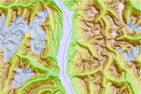
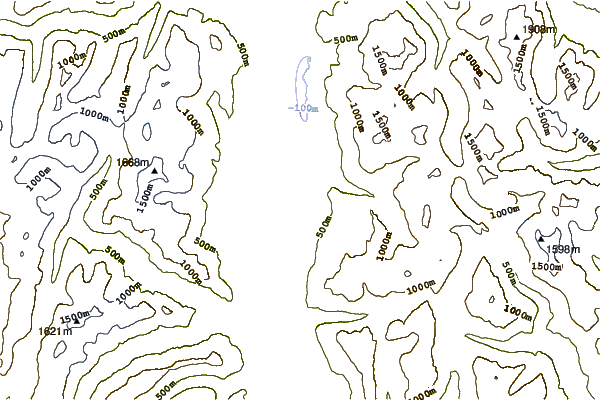
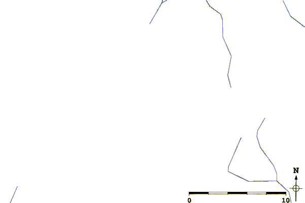
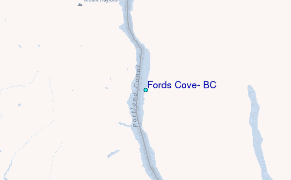
Use this relief map to navigate to tide stations, surf breaks and cities that are in the area of Fords Cove, B.C..
Other Nearby Locations' tide tables and tide charts to Fords Cove, B.C.:
click location name for more details
 Surf breaks close to Fords Cove, B.C.:
|
||
|---|---|---|
| Closest surf break | Tow Hill Beach | 126 mi |
| Second closest surf break | Lepus Beach (Haida-Gwaii) | 154 mi |
| Third closest surf break | Nootka Island (Calvin Bay) | 434 mi |
| Fourth closest surf break | Cannon Beach | 447 mi |
| Fifth closest surf break | Graveyards | 451 mi |


 Nearest
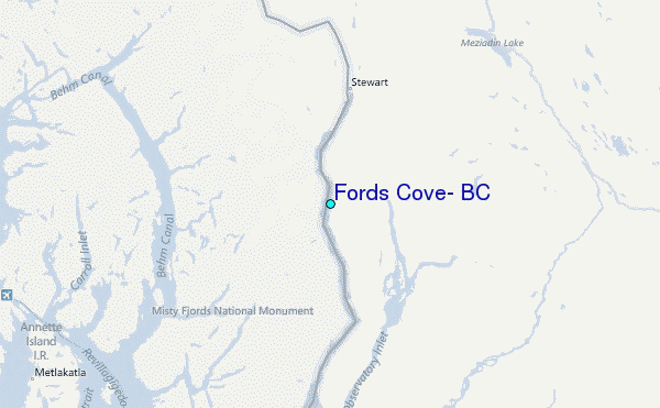