
| Distance / Altitude | Location | Report Date / Time | Live Weather | Wind | Gusts | Temp. | Visibility | Cloud |
|---|---|---|---|---|---|---|---|---|
| 8 km WNW / 218 m | Fort Pierce Airport (Florida) | 2026-06-30 14:58 local (2026/06/30 18:58 GMT) | Clear | light winds from the E (17 km/h at 90) | 32°C | 16 | ||
| 20 km NE / 3 m | BUOY-41068 (Marine) | 2026-06-30 16:08 local (2026/06/30 20:08 GMT) | light winds from the ENE (11 km/h at 60) | 29°C | - | |||
| 23 km NW / 218 m | Vero Beach Airport (Florida) | 2026-06-30 14:53 local (2026/06/30 18:53 GMT) | Thunderstorm - in the vicinity | light winds from the ENE.(Wind varies from 020 to 100 degs) (13 km/h at 60) | 33°C | 16 | scattered | |
| 32 km SSE / 240 m | Stuart/Witham Field Airport (Florida) | 2026-06-30 14:47 local (2026/06/30 18:47 GMT) | Haze - | moderate winds from the ENE (22 km/h at 60) | 33°C | 10 | scattered | |
| 33 km W / 8 m | lightning 19km WSW of West Vero Corridor (United States) | 2026-06-30 15:48 local (2026/06/30 19:48 GMT) | Thunderstorm | (- km/h at -) | — | |||
| 44 km NW / 6 m | Sebastian Airport (Florida) (Florida) | 2026-06-30 15:35 local (2026/06/30 19:35 GMT) | Thunderstorm - in the vicinity | light winds from the ENE (15 km/h at 70) | — | 16 | ||
| 51 km SW / 6 m | thunderstorm affecting Taylor Creek (United States) | 2026-06-30 17:00 local (2026/06/30 21:00 GMT) | Thunderstorm | (- km/h at -) | — | |||
| 55 km ESE / 3 m | SHIP8429 (Marine) | 2026-06-30 16:00 local (2026/06/30 20:00 GMT) | - (- km/h at -) | — | - | |||
| 55 km ESE / 3 m | SHIP4724 (Marine) | 2026-06-30 16:00 local (2026/06/30 20:00 GMT) | - (- km/h at -) | — | - | |||
| 55 km ESE / 15 m | SHIP2873 (Marine) | 2026-06-30 16:00 local (2026/06/30 20:00 GMT) | - (- km/h at -) | — | - km |
| Contours: | Roads & Rivers: | Select a
tide station / surf break / city |
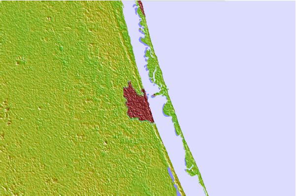

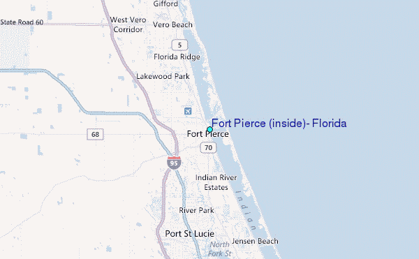
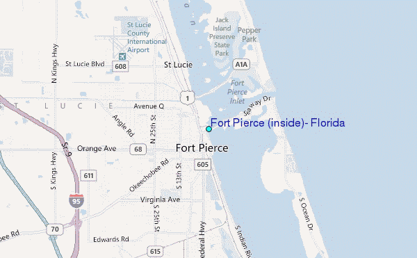
Use this relief map to navigate to tide stations, surf breaks and cities that are in the area of Fort Pierce (inside), Florida.
Other Nearby Locations' tide tables and tide charts to Fort Pierce (inside), Florida:
click location name for more details
 Surf breaks close to Fort Pierce (inside), Florida:
|
||
|---|---|---|
| Closest surf break | Fort Pierce North Jetty | 2 mi |
| Second closest surf break | Walton Rocks (Power Plant) | 9 mi |
| Third closest surf break | Riomar Reef | 12 mi |
| Fourth closest surf break | Jensen Beach | 16 mi |
| Fifth closest surf break | Vero Beach Pier | 17 mi |


 Nearest
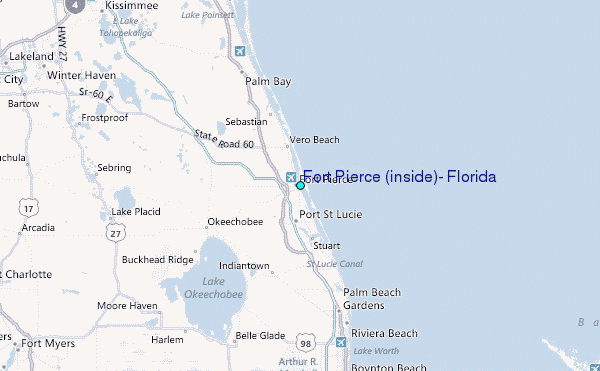