
| Distance / Altitude | Location | Report Date / Time | Live Weather | Wind | Gusts | Temp. | Visibility | Cloud |
|---|---|---|---|---|---|---|---|---|
| 2 km ESE / 3 m | BUOY-FPST2 (Marine) | 2026-06-16 20:00 local (2026/06/17 01:00 GMT) | moderate winds from the E (24 km/h at 90) | 28°C | - | |||
| 23 km NE / 3 m | BUOY-LUIT2 (Marine) | 2026-06-16 20:00 local (2026/06/17 01:00 GMT) | moderate winds from the E (22 km/h at 90) | 28°C | - | |||
| 24 km WNW / 217 m | Angleton Airport (Texas) | 2026-06-16 18:53 local (2026/06/16 23:53 GMT) | Dry and partly cloudy | light winds from the ENE (13 km/h at 60) | 27°C | 16 | broken | |
| 38 km SW / 3 m | Sargent (Texas) | 2026-06-16 20:05 local (2026/06/17 01:05 GMT) | dry | calm (3 km/h at 148) | 26°C | - | - - 0 | |
| 49 km NNE / 6 m | Santa Fe (Texas) | 2026-06-16 20:12 local (2026/06/17 01:12 GMT) | dry | calm (0 km/h at 0) | 27°C | - | - - 0 | |
| 50 km N / 11 m | Hillcrest wx (United States) | 2026-06-16 20:40 local (2026/06/17 01:40 GMT) | dry | calm (2 km/h at 36) | 26°C | - | - - 0 | |
| 54 km NW / 30 m | Katy (Texas) | 2026-06-16 20:15 local (2026/06/17 01:15 GMT) | dry | calm (0 km/h at 0) | 26°C | - | - - 0 | |
| 55 km WSW / 220 m | Bay City Airport (Texas) | 2026-06-16 19:35 local (2026/06/17 00:35 GMT) | Dry and cloudy | light winds from the ENE.(Wind varies from 026 to 031 degs) (17 km/h at 60) | 27°C | 16 | scattered broken overcast | |
| 56 km NE / 217 m | Galveston Airport (Texas) | 2026-06-16 18:52 local (2026/06/16 23:52 GMT) | - | light winds from the ENE (13 km/h at 60) | 27°C | 16 | few | |
| 56 km NE / 3 m | BUOY-GRRT2 (Marine) | 2026-06-16 20:00 local (2026/06/17 01:00 GMT) | moderate winds from the E (22 km/h at 80) | 27°C | - |
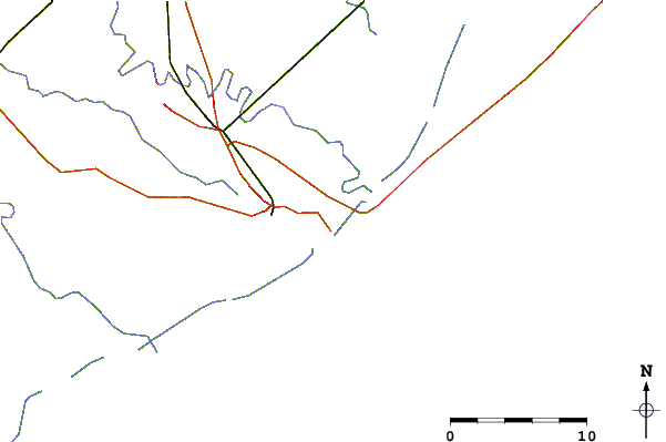
| Contours: | Roads & Rivers: | Select a
tide station / surf break / city |
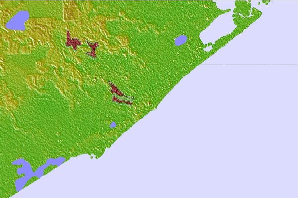

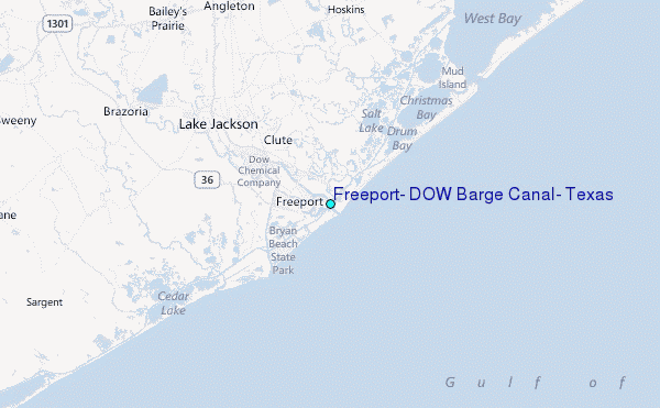
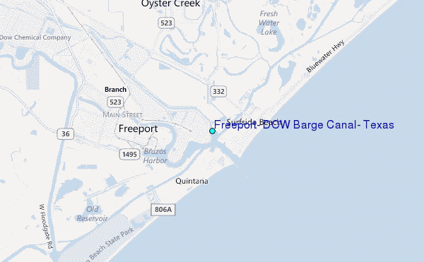
Use this relief map to navigate to tide stations, surf breaks and cities that are in the area of Freeport, DOW Barge Canal, Texas.
Other Nearby Locations' tide tables and tide charts to Freeport, DOW Barge Canal, Texas:
click location name for more details
 Surf breaks close to Freeport, DOW Barge Canal, Texas:
|
||
|---|---|---|
| Closest surf break | Surfside Beach Octagone | 1 mi |
| Second closest surf break | Surfside | 1 mi |
| Third closest surf break | Freeport Pier | 7 mi |
| Fourth closest surf break | Freeport Channel | 8 mi |
| Fifth closest surf break | Quintana Jetty | 8 mi |


 Nearest
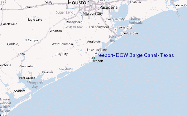