
| Distance / Altitude | Location | Report Date / Time | Live Weather | Wind | Gusts | Temp. | Visibility | Cloud |
|---|---|---|---|---|---|---|---|---|
| 62 km S / 311 m | Villahermosa Airport (Mexico) | 2026-07-09 13:40 local (2026/07/09 19:40 GMT) | Dry and partly cloudy | moderate winds from the ENE (20 km/h at 60) | 34°C | 10 | scattered broken | |
| 63 km S / 10 m | Dos Montes wx (Mexico) | 2026-07-09 14:13 local (2026/07/09 20:13 GMT) | dry | wind obs. (6 kph from 116 degs) was rejected (- km/h at -) | 35°C | - | - - 0 | |
| 67 km S / 10 m | Centro Delegación Dos wx (Mexico) | 2026-07-09 14:01 local (2026/07/09 20:01 GMT) | dry | light winds from the NNE (11 km/h at 26) | 35°C | - | - - 0 | |
| 91 km E / 352 m | Ciudad Del Carmen Airport (Mexico) | 2026-07-09 12:45 local (2026/07/09 18:45 GMT) | Dry and partly cloudy | light winds from the ESE (17 km/h at 110) | 33°C | 11 | scattered broken | |
| 132 km SSE / 61 m | Palenque International Airport (Mexico) | 2026-07-09 13:40 local (2026/07/09 19:40 GMT) | Dry and partly cloudy | light winds from the E (19 km/h at 90) | 33°C | 14 | scattered scattered | |
| 151 km W / 3 m | SHIP4467 (Marine) | 2026-07-09 14:00 local (2026/07/09 20:00 GMT) | - (- km/h at -) | 32°C | - | |||
| 151 km W / 15 m | SHIP2752 (Marine) | 2026-07-09 14:00 local (2026/07/09 20:00 GMT) | - (- km/h at -) | — | - km | |||
| 151 km W / 3 m | SHIP761 (Marine) | 2026-07-09 14:00 local (2026/07/09 20:00 GMT) | - (- km/h at -) | 32°C | - | |||
| 151 km W / 15 m | SHIP5339 (Marine) | 2026-07-09 14:00 local (2026/07/09 20:00 GMT) | - (- km/h at -) | — | - km | |||
| 155 km WNW / 3 m | SHIP4698 (Marine) | 2026-07-09 13:00 local (2026/07/09 19:00 GMT) | - (- km/h at -) | 30°C | - |
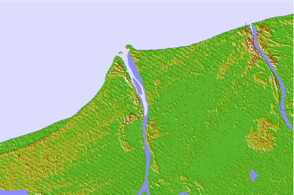
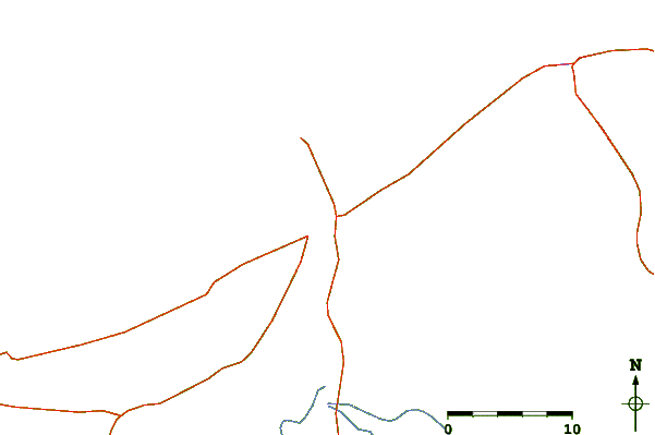
| Contours: | Roads & Rivers: | Select a
tide station / surf break / city |

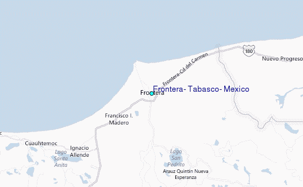
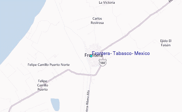
Use this relief map to navigate to tide stations, surf breaks and cities that are in the area of Frontera, Tabasco, Mexico.
Other Nearby Locations' tide tables and tide charts to Frontera, Tabasco, Mexico:
click location name for more details
 Surf breaks close to Frontera, Tabasco, Mexico:
|
||
|---|---|---|
| Closest surf break | Puerto Arista | 197 mi |
| Second closest surf break | Salina Cruz | 230 mi |
| Third closest surf break | Punta Conejo | 235 mi |
| Fourth closest surf break | Puerto Madero | 242 mi |
| Fifth closest surf break | Punta Guetaguichi | 242 mi |


 Nearest
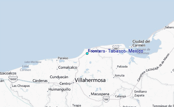