
| Distance / Altitude | Location | Report Date / Time | Live Weather | Wind | Gusts | Temp. | Visibility | Cloud |
|---|---|---|---|---|---|---|---|---|
| 4 km S / 3 m | BUOY-OPTF1 (Marine) | 2026-07-27 10:00 local (2026/07/27 14:00 GMT) | light winds from the WNW (17 km/h at 290) | 30°C | - | |||
| 5 km SSE / 212 m | MacDill Air Force Base/Tampa Airport (Florida) | 2026-07-27 08:55 local (2026/07/27 12:55 GMT) | Thunderstorm - in the vicinity | light winds from the W (9 km/h at 270) | 30°C | 16 | scattered scattered | |
| 8 km N / 218 m | Tampa Airport (Florida) | 2026-07-27 08:53 local (2026/07/27 12:53 GMT) | Clear | light winds from the W (15 km/h at 270) | 29°C | 16 | ||
| 9 km NNE / 8 m | lightning 5km S of Egypt Lake-Leto (United States) | 2026-07-27 10:48 local (2026/07/27 14:48 GMT) | Thunderstorm | (- km/h at -) | — | |||
| 9 km ENE / 3 m | BUOY-SKCF1 (Marine) | 2026-07-27 10:00 local (2026/07/27 14:00 GMT) | light winds from the W (8 km/h at 280) | — | - | |||
| 11 km ENE / 3 m | BUOY-TPAF1 (Marine) | 2026-07-27 10:00 local (2026/07/27 14:00 GMT) | - (0 km/h at -) | — | - | |||
| 12 km ENE / 3 m | BUOY-EBEF1 (Marine) | 2026-07-27 10:00 local (2026/07/27 14:00 GMT) | - (- km/h at -) | 30°C | - | |||
| 14 km E / 3 m | SHIP4021 (Marine) | 2026-07-27 08:00 local (2026/07/27 12:00 GMT) | - (- km/h at -) | 29°C | - | |||
| 14 km WSW / 218 m | ST Petersburg Airport (Florida) | 2026-07-27 08:53 local (2026/07/27 12:53 GMT) | Clear | light winds from the W (17 km/h at 280) | 29°C | 16 | ||
| 14 km E / 3 m | SHIP3597 (Marine) | 2026-07-27 09:00 local (2026/07/27 13:00 GMT) | - (- km/h at -) | 29°C | - |
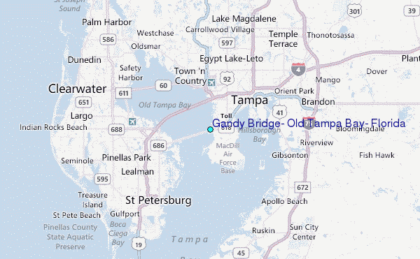
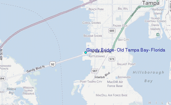
Choose Gandy Bridge, Old Tampa Bay, Florida Location Map Zoom:
| Contours: | Roads & Rivers: | Select a
tide station / surf break / city |
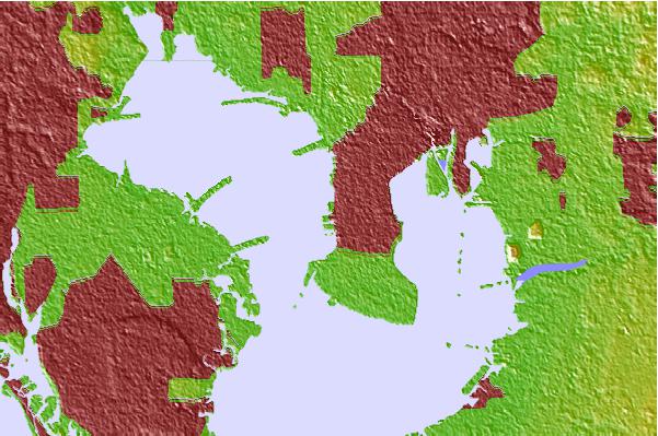
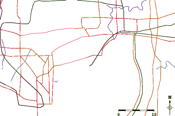
Use this relief map to navigate to tide stations, surf breaks and cities that are in the area of Gandy Bridge, Old Tampa Bay, Florida.
Other Nearby Locations' tide tables and tide charts to Gandy Bridge, Old Tampa Bay, Florida:
click location name for more details
 Surf breaks close to Gandy Bridge, Old Tampa Bay, Florida:
|
||
|---|---|---|
| Closest surf break | Sunset Beach | 17 mi |
| Second closest surf break | Upham Beach | 17 mi |
| Third closest surf break | Clearwater Beach | 19 mi |
| Fourth closest surf break | Clearwater Pass | 19 mi |
| Fifth closest surf break | Redington Breakwater | 19 mi |


 Nearest
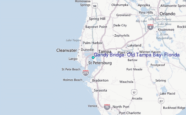