
| Distance / Altitude | Location | Report Date / Time | Live Weather | Wind | Gusts | Temp. | Visibility | Cloud |
|---|---|---|---|---|---|---|---|---|
| 5 km ESE / 3 m | BUOY-PNLM6 (Marine) | 2026-06-14 21:30 local (2026/06/15 02:30 GMT) | - (- km/h at -) | — | - | |||
| 9 km NW / 4.6 m | Gautier (Mississippi) | 2026-06-14 21:15 local (2026/06/15 02:15 GMT) | dry | calm (0 km/h at 86) | 28°C | - | - - 0 | |
| 12 km NE / 219 m | Pascagoula Airport (Mississippi) | 2026-06-14 20:53 local (2026/06/15 01:53 GMT) | Clear | light winds from the SSW (7 km/h at 210) | 28°C | 16 | ||
| 14 km SE / 15 m | SHIP8296 (Marine) | 2026-06-14 21:00 local (2026/06/15 02:00 GMT) | - (- km/h at -) | — | - km | |||
| 19 km E / 3 m | BUOY-GDXM6 (Marine) | 2026-06-14 20:45 local (2026/06/15 01:45 GMT) | light winds from the SW (17 km/h at 230) | 30°C | - | |||
| 14 km SE / 3 m | SHIP5866 (Marine) | 2026-06-14 20:00 local (2026/06/15 01:00 GMT) | - (- km/h at -) | 30°C | - | |||
| 14 km SE / 3 m | SHIP10040 (Marine) | 2026-06-14 20:00 local (2026/06/15 01:00 GMT) | - (- km/h at -) | 30°C | - | |||
| 14 km SE / 15 m | SHIP7515 (Marine) | 2026-06-14 21:00 local (2026/06/15 02:00 GMT) | - (- km/h at -) | — | - km | |||
| 14 km SE / 3 m | SHIP7170 (Marine) | 2026-06-14 20:00 local (2026/06/15 01:00 GMT) | - (- km/h at -) | 30°C | - | |||
| 14 km SE / 3 m | SHIP10920 (Marine) | 2026-06-14 22:00 local (2026/06/15 03:00 GMT) | - (- km/h at -) | 30°C | - |
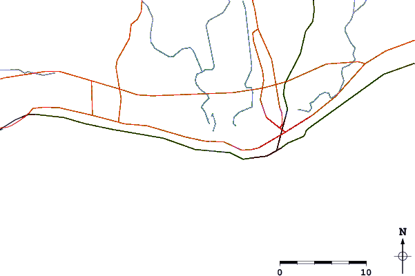
| Contours: | Roads & Rivers: | Select a
tide station / surf break / city |
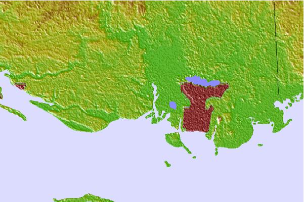
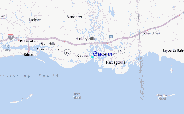
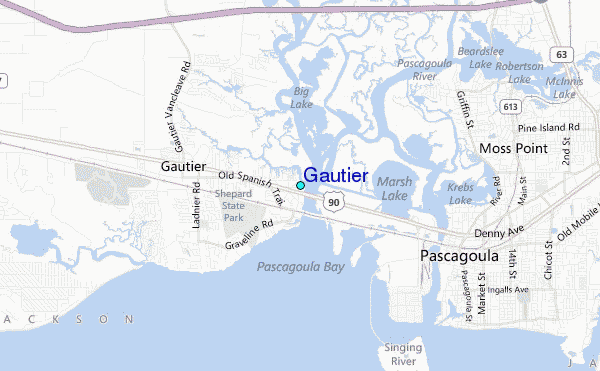
Use this relief map to navigate to tide stations, surf breaks and cities that are in the area of Gautier.
Other Nearby Locations' tide tables and tide charts to Gautier:
click location name for more details
 Surf breaks close to Gautier:
|
||
|---|---|---|
| Closest surf break | Dauphin Island Pier | 34 mi |
| Second closest surf break | Chandeleur Islands | 40 mi |
| Third closest surf break | West Pass | 53 mi |
| Fourth closest surf break | Terry s Cove | 62 mi |
| Fifth closest surf break | Alabama Point | 63 mi |


 Nearest
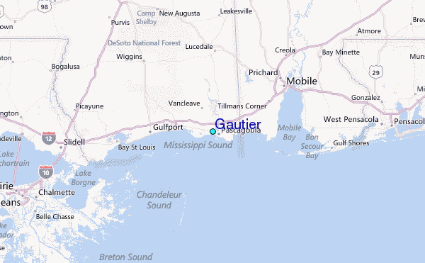