
| Distance / Altitude | Location | Report Date / Time | Live Weather | Wind | Gusts | Temp. | Visibility | Cloud |
|---|---|---|---|---|---|---|---|---|
| 8 km NW / 4 m | LowHead (Australia) | 2026-07-26 22:00 local (2026/07/26 12:00 GMT) | no report | wind obs. (22 kph from 140 degs) was rejected (- km/h at -) | 9°C | - | - - - | |
| 33 km WSW / 10 m | Devonport Airport (Australia) | 2026-07-26 22:00 local (2026/07/26 12:00 GMT) | no report | wind obs. (9 kph from 170 degs) was rejected (- km/h at -) | 6°C | - | - | |
| 42 km SE / 5 m | Launceston (TI Tree Bend) (Australia) | 2026-07-26 22:00 local (2026/07/26 12:00 GMT) | no report | wind obs. (13 kph from 160 degs) was rejected (- km/h at -) | 9°C | - | - | |
| 51 km SSW / 294 m | Sheffield School Farm (Australia) | 2026-07-26 22:00 local (2026/07/26 12:00 GMT) | no report | wind obs. (6 kph from 170 degs) was rejected (- km/h at -) | 5°C | - | - | |
| 54 km SE / 216 m | Launceston Airport (Australia) | 2026-07-26 21:30 local (2026/07/26 11:30 GMT) | Dry and partly cloudy | light winds from the NW (19 km/h at 320) | 9°C | 10.0 | no cloud | |
| 57 km E / 198 m | Scottsdale ( West Minstone Road) (Australia) | 2026-07-26 22:00 local (2026/07/26 12:00 GMT) | no report | wind obs. (11 kph from 180 degs) was rejected (- km/h at -) | 7°C | - | - - - | |
| 58 km SE / 168 m | Launceston Airport (Australia) | 2026-07-26 22:00 local (2026/07/26 12:00 GMT) | no report | light winds from the NNW (17 km/h at 340) | 6°C | - | - | |
| 72 km NNE / 15 m | ASCATB147E41S (Marine) | 2026-07-26 21:02 local (2026/07/26 11:02 GMT) | strong winds from the W (41 km/h at 270) | — | - km | |||
| 76 km WSW / 0 m | Burnie Ntc Aws (Australia) | 2026-07-26 22:00 local (2026/07/26 12:00 GMT) | no report | wind obs. (11 kph from 200 degs) was rejected (- km/h at -) | 10°C | - | - | |
| 88 km S / 1042 m | Liawenee (Australia) | 2026-07-26 22:00 local (2026/07/26 12:00 GMT) | no report | wind obs. (7 kph from 200 degs) was rejected (- km/h at -) | 2°C | - | - - - |
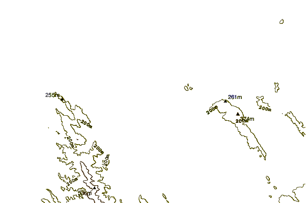
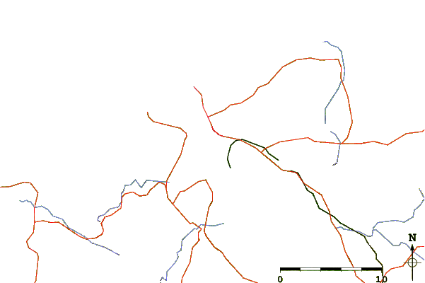
| Contours: | Roads & Rivers: | Select a
tide station / surf break / city |
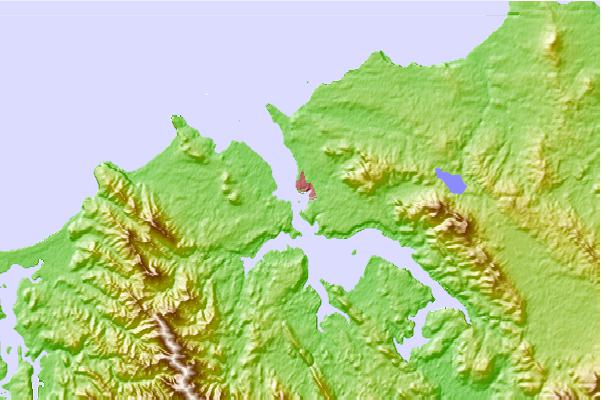
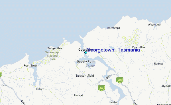
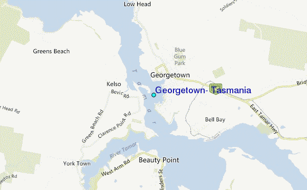
Use this relief map to navigate to tide stations, surf breaks and cities that are in the area of Georgetown, Tasmania.
Other Nearby Locations' tide tables and tide charts to Georgetown, Tasmania:
click location name for more details
 Surf breaks close to Georgetown, Tasmania:
|
||
|---|---|---|
| Closest surf break | East Beach | 4 mi |
| Second closest surf break | Tam O'Shanter | 9 mi |
| Third closest surf break | Devonport Rivermouth | 24 mi |
| Fourth closest surf break | Mini Bluff | 75 mi |
| Fifth closest surf break | Binalong Beach | 77 mi |


 Nearest
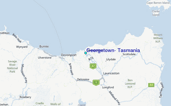