
| Distance / Altitude | Location | Report Date / Time | Live Weather | Wind | Gusts | Temp. | Visibility | Cloud |
|---|---|---|---|---|---|---|---|---|
| 53 km ESE / 6 m | Munda-New Georgia (Solomon Islands) | 2026-07-10 11:00 local (2026/07/10 00:00 GMT) | distant precipitation but not falling at station | - (- km/h at -) | 25°C | 4000 | - - - | |
| 163 km NW / 3 m | Taro Island (Solomon Islands) | 2026-07-10 11:00 local (2026/07/10 00:00 GMT) | distant precipitation but not falling at station | light winds from the SE (11 km/h at 140) | 26°C | 20 | - | |
| 168 km SE / 2 m | Penrhyn Island (Samoa) | 2026-07-10 10:00 local (2026/07/09 23:00 GMT) | - | wind obs. (6 kph from 70 degs) was rejected (- km/h at -) | 30°C | 10.0 | few | |
| 261 km WSW / 15 m | ASCATB155E8S (Marine) | 2026-07-10 10:05 local (2026/07/09 23:05 GMT) | fresh winds from the SSW (30 km/h at 203) | — | - km | |||
| 262 km W / 15 m | ASCATB155E7S (Marine) | 2026-07-10 10:05 local (2026/07/09 23:05 GMT) | light winds from the SSW (14 km/h at 202) | — | - km | |||
| 314 km WNW / 15 m | ASCATB155E6S (Marine) | 2026-07-10 10:05 local (2026/07/09 23:05 GMT) | light winds from the SSW (7 km/h at 198) | — | - km | |||
| 342 km SW / 15 m | ASCATB154E9S (Marine) | 2026-07-10 10:06 local (2026/07/09 23:06 GMT) | fresh winds from the SSE (33 km/h at 148) | — | - km | |||
| 364 km WSW / 15 m | ASCATB154E8S (Marine) | 2026-07-10 10:05 local (2026/07/09 23:05 GMT) | fresh winds from the SE (35 km/h at 144) | — | - km | |||
| 372 km ESE / 182 m | Honiara (Solomon Islands) | 2026-07-10 11:00 local (2026/07/10 00:00 GMT) | moderate to heavy rain showers | moderate winds from the S (22 km/h at 180) | 24°C | 10 | - | |
| 373 km WSW / 15 m | ASCATB154E7S (Marine) | 2026-07-10 10:05 local (2026/07/09 23:05 GMT) | moderate winds from the SSE (25 km/h at 167) | — | - km |
| Contours: | Roads & Rivers: | Select a
tide station / surf break / city |
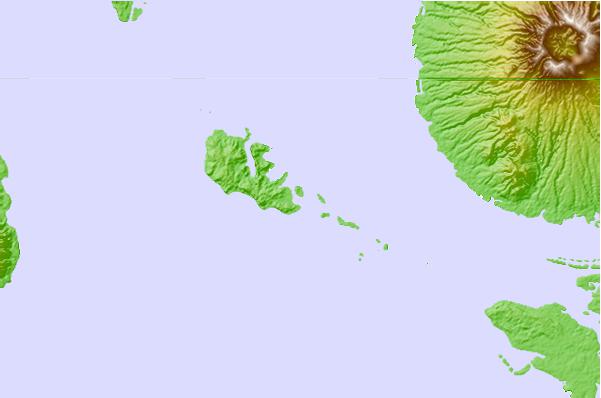
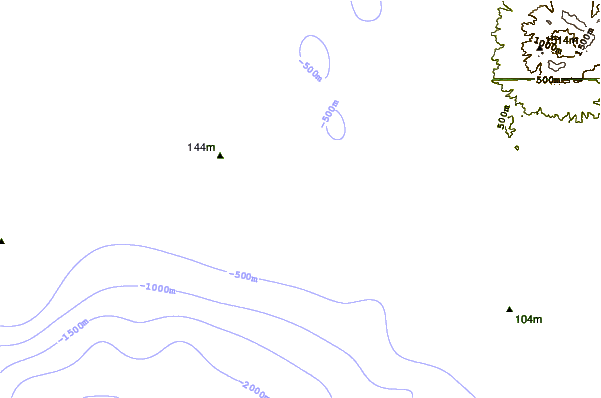
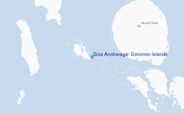
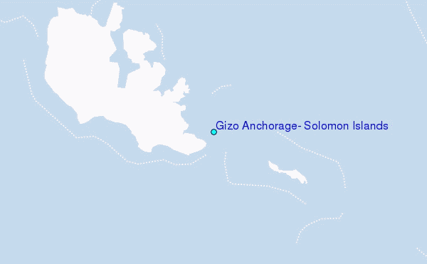
Use this relief map to navigate to tide stations, surf breaks and cities that are in the area of Gizo Anchorage, Solomon Islands.
Other Nearby Locations' tide tables and tide charts to Gizo Anchorage, Solomon Islands:
click location name for more details
 Surf breaks close to Gizo Anchorage, Solomon Islands:
|
||
|---|---|---|
| Closest surf break | Titiana | 2 mi |
| Second closest surf break | Pailongge | 4 mi |
| Third closest surf break | Makuti | 8 mi |
| Fourth closest surf break | Despretes | 23 mi |
| Fifth closest surf break | Skull Island | 26 mi |


 Nearest
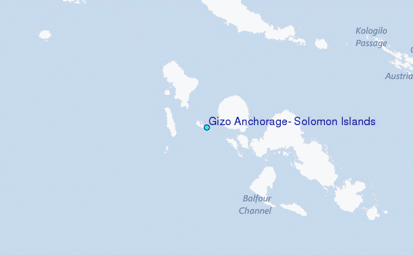