
| Distance / Altitude | Location | Report Date / Time | Live Weather | Wind | Gusts | Temp. | Visibility | Cloud |
|---|---|---|---|---|---|---|---|---|
| 40 km W / 3 m | Aparri (Philippines) | 2026-07-10 02:00 local (2026/07/09 18:00 GMT) | - | wind obs. (7 kph from 60 degs) was rejected (- km/h at -) | — | 20 | - - - | |
| 77 km S / 213 m | Tuguegarao (Philippines) | 2026-07-10 02:00 local (2026/07/09 18:00 GMT) | haze | calm (4 km/h at 190) | 33°C | 10 | - - - | |
| 124 km NW / 13 m | Calayan (Philippines) | 2026-07-10 02:00 local (2026/07/09 18:00 GMT) | no report | light winds from the ESE (14 km/h at 120) | 33°C | 25 | - | |
| 155 km WSW / 9 m | Laoag (Philippines) | 2026-07-10 02:00 local (2026/07/09 18:00 GMT) | light rain showers | wind obs. (7 kph from 110 degs) was rejected (- km/h at -) | 29°C | 8 | - - - | |
| 157 km WSW / 344 m | Laoag International Airport (Philippines) | 2026-07-10 02:00 local (2026/07/09 18:00 GMT) | Dry and partly cloudy | light winds from the SSW (7 km/h at 200) | 27°C | 10.0 | broken - - | |
| 167 km SW / 49 m | Sinait Synoptic Station (Philippines) | 2026-07-10 02:00 local (2026/07/09 18:00 GMT) | thunderstorm but no precipitation falling at station | - (- km/h at -) | 31°C | 15 | - | |
| 184 km SW / 5 m | Rugsuanan wx (Philippines) | 2026-07-10 03:30 local (2026/07/09 19:30 GMT) | - | - (- km/h at ) | 29°C | - | - - 0 | |
| 189 km W / 15 m | SHIP3423 (Marine) | 2026-07-10 02:00 local (2026/07/09 18:00 GMT) | fresh winds from the NNW (33.480000000000004 km/h at 330) | 31°C | 17.7 km | |||
| 201 km E / 0 m | lightning 187km ENE of San Vicente (Philippines) | 2026-07-10 03:32 local (2026/07/09 19:32 GMT) | Thunderstorm | (- km/h at -) | — | |||
| 215 km E / 0 m | lightning 202km ENE of Casambalangan (Philippines) | 2026-07-10 03:49 local (2026/07/09 19:49 GMT) | Thunderstorm | (- km/h at -) | — |
| Contours: | Roads & Rivers: | Select a
tide station / surf break / city |
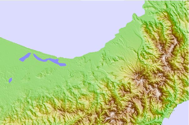
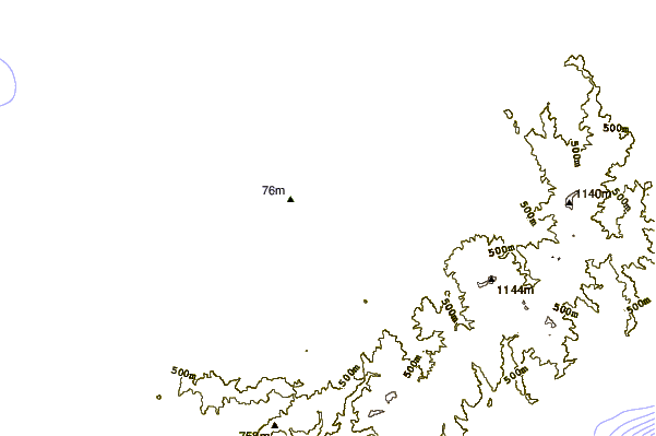
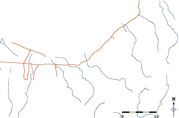
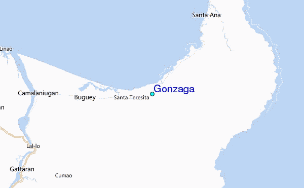
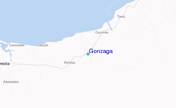
Use this relief map to navigate to tide stations, surf breaks and cities that are in the area of Gonzaga.
Other Nearby Locations' tide tables and tide charts to Gonzaga:
click location name for more details
 Surf breaks close to Gonzaga:
|
||
|---|---|---|
| Closest surf break | Star Tubes | 104 mi |
| Second closest surf break | Badoc Point | 105 mi |
| Third closest surf break | Badoc Island Lefts | 106 mi |
| Fourth closest surf break | Turtle Head | 107 mi |
| Fifth closest surf break | Puro Pinget | 115 mi |


 Nearest
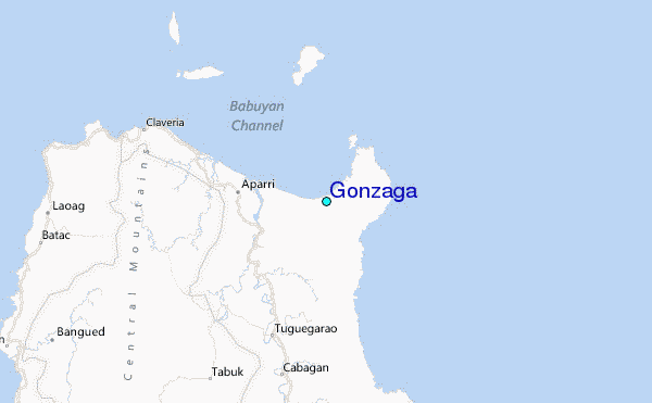