
| Distance / Altitude | Location | Report Date / Time | Live Weather | Wind | Gusts | Temp. | Visibility | Cloud |
|---|---|---|---|---|---|---|---|---|
| 15 km S / 59 m | Tracy Municipal Airport (California) (California) | 2026-06-19 00:35 local (2026/06/19 07:35 GMT) | Clear | wind obs. (13 kph from 100 degs) was rejected (- km/h at -) | 18°C | 16 | ||
| 17 km WSW / 24 m | Byron Airport (California) (California) | 2026-06-18 23:35 local (2026/06/19 06:35 GMT) | Clear | fresh winds from the W (35 km/h at 260) | 18°C | 16 | ||
| 21 km ENE / 218 m | Stockton Airport (California) | 2026-06-18 22:55 local (2026/06/19 05:55 GMT) | Clear | light winds from the NNW (19 km/h at 340) | 17°C | 16 | ||
| 35 km SW / 218 m | Livermore Airport (California) | 2026-06-18 22:53 local (2026/06/19 05:53 GMT) | Clear | wind obs. (17 kph from 290 degs) was rejected (- km/h at -) | 17°C | 16 | ||
| 46 km W / 3 m | BUOY-PSBC1 (Marine) | 2026-06-19 00:00 local (2026/06/19 07:00 GMT) | fresh winds from the WNW (33 km/h at 300) | 17°C | - | |||
| 49 km ESE / 216 m | Modesto Airport (California) | 2026-06-18 22:53 local (2026/06/19 05:53 GMT) | Clear | light winds from the N (19 km/h at 350) | 19°C | 16 | ||
| 55 km SW / 23 m | Shinn wx (United States) | 2026-06-19 00:01 local (2026/06/19 07:01 GMT) | dry | calm (3 km/h at 207) | 18°C | - | - - 0 | |
| 57 km W / 218 m | Concord Airport (California) | 2026-06-18 22:53 local (2026/06/19 05:53 GMT) | Dry and cloudy | light winds from the WSW (19 km/h at 250) | 17°C | 16 | overcast | |
| 59 km W / 3 m | BUOY-PCOC1 (Marine) | 2026-06-19 00:00 local (2026/06/19 07:00 GMT) | fresh winds from the WSW (35 km/h at 250) | 16°C | - | |||
| 61 km SW / 218 m | Hayward Airport (California) | 2026-06-18 22:54 local (2026/06/19 05:54 GMT) | Dry and cloudy | light winds from the W (11 km/h at 260) | 17°C | 16 | overcast |
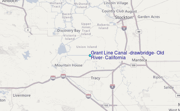
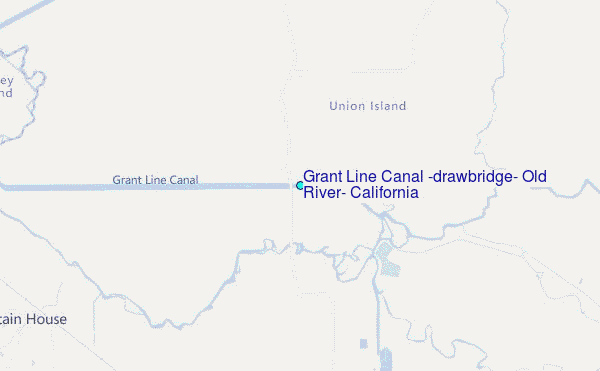
Choose Grant Line Canal (drawbridge), Old River, California Location Map Zoom:
| Contours: | Roads & Rivers: | Select a
tide station / surf break / city |
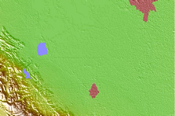
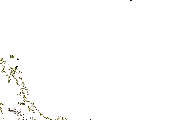
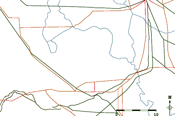
Use this relief map to navigate to tide stations, surf breaks and cities that are in the area of Grant Line Canal (drawbridge), Old River, California.
Other Nearby Locations' tide tables and tide charts to Grant Line Canal (drawbridge), Old River, California:
click location name for more details
 Surf breaks close to Grant Line Canal (drawbridge), Old River, California:
|
||
|---|---|---|
| Closest surf break | Fort Point | 57 mi |
| Second closest surf break | Deadman's | 58 mi |
| Third closest surf break | Kellys Cove | 58 mi |
| Fourth closest surf break | Ocean Beach | 58 mi |
| Fifth closest surf break | Sharp Park | 59 mi |


 Nearest
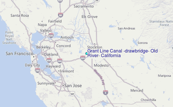