
| Distance / Altitude | Location | Report Date / Time | Live Weather | Wind | Gusts | Temp. | Visibility | Cloud |
|---|---|---|---|---|---|---|---|---|
| 220 km N / 15 m | SHIP966 (Marine) | 2026-06-22 15:00 local (2026/06/22 05:00 GMT) | - (- km/h at -) | 13°C | - km | |||
| 229 km N / 214 m | Avalon Airport (Australia) | 2026-06-22 14:30 local (2026/06/22 04:30 GMT) | Dry and cloudy | light winds from the W (9 km/h at 270) | 13°C | 10.0 | few overcast | |
| 220 km N / 15 m | SHIP4622 (Marine) | 2026-06-22 13:00 local (2026/06/22 03:00 GMT) | - (- km/h at -) | 13°C | - km | |||
| 220 km N / 15 m | SHIP1631 (Marine) | 2026-06-22 14:00 local (2026/06/22 04:00 GMT) | - (- km/h at -) | 13°C | - km | |||
| 220 km N / 15 m | SHIP5767 (Marine) | 2026-06-22 14:00 local (2026/06/22 04:00 GMT) | - (- km/h at -) | 13°C | - km | |||
| 220 km N / 3 m | SHIP1944 (Marine) | 2026-06-22 13:00 local (2026/06/22 03:00 GMT) | - (- km/h at -) | 13°C | - | |||
| 220 km N / 3 m | SHIP8368 (Marine) | 2026-06-22 14:00 local (2026/06/22 04:00 GMT) | - (- km/h at -) | 14°C | - | |||
| 220 km N / 15 m | SHIP3158 (Marine) | 2026-06-22 13:00 local (2026/06/22 03:00 GMT) | - (- km/h at -) | 13°C | - km | |||
| 220 km N / 15 m | SHIP2339 (Marine) | 2026-06-22 13:00 local (2026/06/22 03:00 GMT) | - (- km/h at -) | 13°C | - km | |||
| 220 km N / 3 m | SHIP1518 (Marine) | 2026-06-22 13:00 local (2026/06/22 03:00 GMT) | - (- km/h at -) | 13°C | - |
| Contours: | Roads & Rivers: | Select a
tide station / surf break / city |
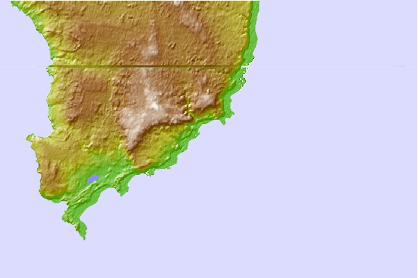
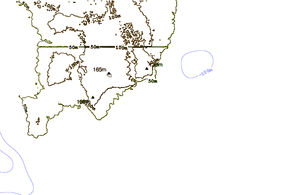
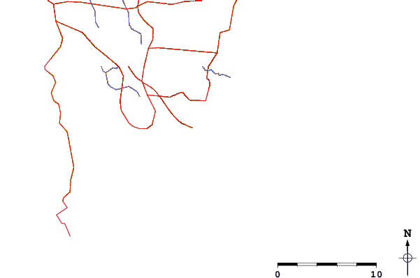
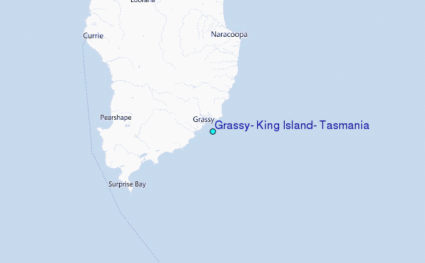
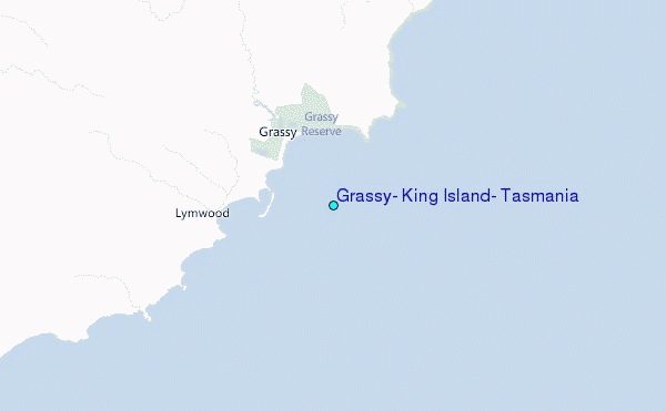
Use this relief map to navigate to tide stations, surf breaks and cities that are in the area of Grassy, King Island, Tasmania.
Other Nearby Locations' tide tables and tide charts to Grassy, King Island, Tasmania:
click location name for more details
 Surf breaks close to Grassy, King Island, Tasmania:
|
||
|---|---|---|
| Closest surf break | King Island - Narracoopa Beach | 13 mi |
| Second closest surf break | Mount Cameron | 64 mi |
| Third closest surf break | Greens Point Beach | 65 mi |
| Fourth closest surf break | Nettley Bay Point | 66 mi |
| Fifth closest surf break | Nettley Bay Reefs | 66 mi |


 Nearest
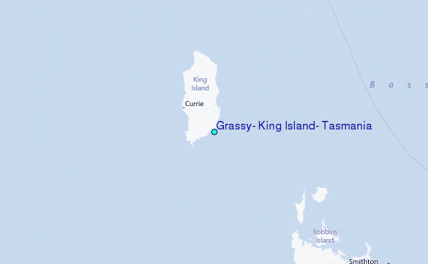