
| Distance / Altitude | Location | Report Date / Time | Live Weather | Wind | Gusts | Temp. | Visibility | Cloud |
|---|---|---|---|---|---|---|---|---|
| 16 km SW / 27 m | Winter Harbor-SERC (Maine) | 2026-06-23 22:32 local (2026/06/24 02:32 GMT) | dry | calm (5 km/h at 313) | 16°C | - | - - 0 | |
| 26 km WSW / 3 m | BUOY-ATGM1 (Marine) | 2026-06-23 22:48 local (2026/06/24 02:48 GMT) | light winds from the NW (8 km/h at 320) | — | - | |||
| 27 km WSW / 70 m | Bar Harbor (Maine) | 2026-06-23 23:01 local (2026/06/24 03:01 GMT) | dry | light winds from the WNW (6 km/h at 293) | 17°C | - | - - 0 | |
| 36 km SW / 14 m | Southwest Hbr.-Seawall (Maine) | 2026-06-23 21:18 local (2026/06/24 01:18 GMT) | dry | calm (0 km/h at 244) | 16°C | - | - - 0 | |
| 36 km S / 3 m | East Maine Shelf Buoy (Marine) | 2026-06-23 22:00 local (2026/06/24 02:00 GMT) | light winds from the W (7 km/h at 270) | 10°C | - | |||
| 39 km W / 32 m | East Lamoine wx (United States) | 2026-06-23 23:03 local (2026/06/24 03:03 GMT) | dry | calm (0 km/h at 360) | 16°C | - | - - 0 | |
| 41 km W / 187 m | Bar Harbor Airport (Maine) | 2026-06-23 21:56 local (2026/06/24 01:56 GMT) | Clear | calm (0 km/h at 0) | 16°C | 16 | ||
| 47 km ESE / 3 m | 20 NM SE of Jonesport- ME (Marine) | 2026-06-23 22:50 local (2026/06/24 02:50 GMT) | light winds from the WNW (11 km/h at 300) | — | - | |||
| 49 km S / 3 m | BUOY-MDRM1 (Marine) | 2026-06-23 23:00 local (2026/06/24 03:00 GMT) | moderate winds from the W (21 km/h at 260) | 13°C | - | |||
| 49 km W / 30 m | East Surry (Maine) | 2026-06-23 23:12 local (2026/06/24 03:12 GMT) | dry | calm (0 km/h at 321) | 14°C | - | - - 0 |
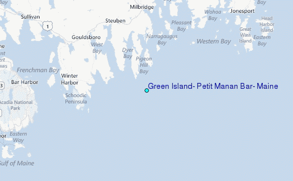
Choose Green Island, Petit Manan Bar, Maine Location Map Zoom:
| Contours: | Roads & Rivers: | Select a
tide station / surf break / city |
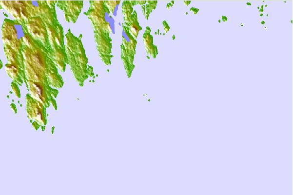
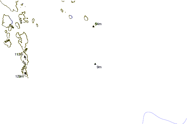
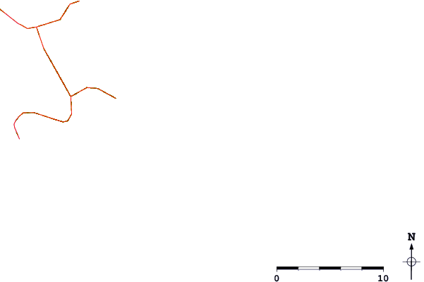
Use this relief map to navigate to tide stations, surf breaks and cities that are in the area of Green Island, Petit Manan Bar, Maine.
Other Nearby Locations' tide tables and tide charts to Green Island, Petit Manan Bar, Maine:
click location name for more details
 Surf breaks close to Green Island, Petit Manan Bar, Maine:
|
||
|---|---|---|
| Closest surf break | Popham Read | 105 mi |
| Second closest surf break | Trayhan's | 114 mi |
| Third closest surf break | Two Lights | 129 mi |
| Fourth closest surf break | Doc Browns | 130 mi |
| Fifth closest surf break | Higgins Beach | 132 mi |


 Nearest
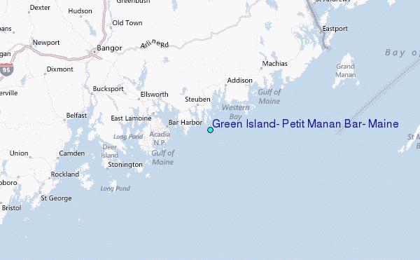