
| Distance / Altitude | Location | Report Date / Time | Live Weather | Wind | Gusts | Temp. | Visibility | Cloud |
|---|---|---|---|---|---|---|---|---|
| 82 km W / 3 m | SHIP1396 (Marine) | 2026-07-09 15:00 local (2026/07/09 19:00 GMT) | strong winds from the ESE (39 km/h at 110) | 29°C | - | |||
| 93 km S / 20 m | thunderstorm affecting Primero de Enero (Cuba) | 2026-07-09 15:48 local (2026/07/09 19:48 GMT) | Thunderstorm | (- km/h at -) | — | |||
| 125 km S / 70 m | lightning 16km NW of Florida (Cuba) | 2026-07-09 16:02 local (2026/07/09 20:02 GMT) | Thunderstorm | (- km/h at -) | — | |||
| 129 km S / 18 m | lightning 12km E of Baragua (Cuba) | 2026-07-09 15:49 local (2026/07/09 19:49 GMT) | Thunderstorm | (- km/h at -) | — | |||
| 134 km S / 83 m | lightning 19km NW of Camaguey (Cuba) | 2026-07-09 15:32 local (2026/07/09 19:32 GMT) | Thunderstorm | (- km/h at -) | — | |||
| 112 km WSW / 3 m | SHIP1419 (Marine) | 2026-07-09 14:00 local (2026/07/09 18:00 GMT) | strong winds from the ESE (42 km/h at 120) | 29°C | - | |||
| 112 km WSW / 3 m | SHIP3198 (Marine) | 2026-07-09 14:00 local (2026/07/09 18:00 GMT) | strong winds from the ESE (42 km/h at 120) | 29°C | - | |||
| 112 km WSW / 3 m | SHIP5628 (Marine) | 2026-07-09 14:00 local (2026/07/09 18:00 GMT) | strong winds from the ESE (42 km/h at 120) | 29°C | - | |||
| 112 km WSW / 15 m | SHIP6497 (Marine) | 2026-07-09 14:00 local (2026/07/09 18:00 GMT) | strong winds from the ESE (42.480000000000004 km/h at 120) | — | - km | |||
| 112 km WSW / 15 m | SHIP2344 (Marine) | 2026-07-09 14:00 local (2026/07/09 18:00 GMT) | strong winds from the ESE (42.480000000000004 km/h at 120) | — | - km |
| Contours: | Roads & Rivers: | Select a
tide station / surf break / city |

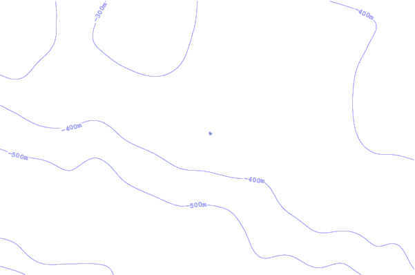
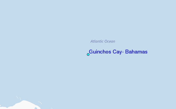
Use this relief map to navigate to tide stations, surf breaks and cities that are in the area of Guinchos Cay, Bahamas.
Other Nearby Locations' tide tables and tide charts to Guinchos Cay, Bahamas:
click location name for more details
 Surf breaks close to Guinchos Cay, Bahamas:
|
||
|---|---|---|
| Closest surf break | Paradise Island | 169 mi |
| Second closest surf break | Rock Sound | 193 mi |
| Third closest surf break | The Dump | 207 mi |
| Fourth closest surf break | Egg Island | 208 mi |
| Fifth closest surf break | Surfers Beach | 208 mi |


 Nearest
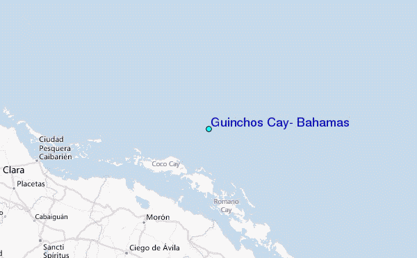