
| Distance / Altitude | Location | Report Date / Time | Live Weather | Wind | Gusts | Temp. | Visibility | Cloud |
|---|---|---|---|---|---|---|---|---|
| 3 km WSW / 219 m | New Your City/Central Park Airport (New York) | 2026-06-16 19:51 local (2026/06/16 23:51 GMT) | Clear | wind obs. (6 kph from 1 degs) was rejected (- km/h at -) | 21°C | 16 | ||
| 4 km E / 218 m | New York City La Guardia Airport (New York) | 2026-06-16 19:51 local (2026/06/16 23:51 GMT) | Dry and partly cloudy | moderate winds from the S (22 km/h at 170) | 22°C | 16 | few broken | |
| 8 km SSE / 33 m | Middle Village (New York) | 2026-06-16 21:26 local (2026/06/17 01:26 GMT) | dry | calm (3 km/h at 175) | 19°C | - | - - 0 | |
| 11 km SSW / 3 m | BUOY-BATN6 (Marine) | 2026-06-16 21:00 local (2026/06/17 01:00 GMT) | - (- km/h at -) | 20°C | - | |||
| 12 km SSW / 7 m | Downtown Manhattan/Wall Street Heliport Airport (New york) | 2026-06-16 19:56 local (2026/06/16 23:56 GMT) | Clear | light winds from the S (13 km/h at 170) | 21°C | 16 | ||
| 14 km WNW / 215 m | Teterboro Airport (New Jersey) | 2026-06-16 19:51 local (2026/06/16 23:51 GMT) | Clear | light winds from the S (19 km/h at 180) | 22°C | 16 | ||
| 14 km ENE / 3 m | BUOY-KPTN6 (Marine) | 2026-06-16 21:00 local (2026/06/17 01:00 GMT) | moderate winds from the S (28 km/h at 180) | 19°C | - | |||
| 18 km SSW / 3 m | BUOY-ROBN4 (Marine) | 2026-06-16 21:00 local (2026/06/17 01:00 GMT) | fresh winds from the S (30 km/h at 180) | 20°C | - | |||
| 22 km SE / 218 m | New York City/JFK Airport (New York) | 2026-06-16 19:51 local (2026/06/16 23:51 GMT) | Dry and partly cloudy | fresh winds from the S (31 km/h at 190) | 19°C | 16 | few broken | |
| 23 km SW / 218 m | Newark Airport (New Jersey) | 2026-06-16 19:51 local (2026/06/16 23:51 GMT) | Dry and partly cloudy | moderate winds from the SSE (20 km/h at 160) | 22°C | 16 | few scattered |
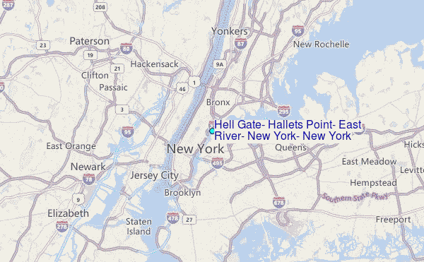
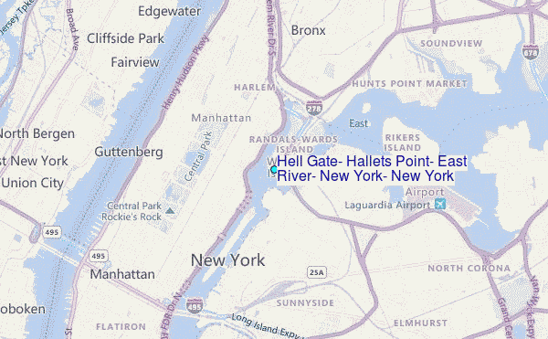
Choose Hell Gate, Hallets Point, East River, New York, New York Location Map Zoom:
| Contours: | Roads & Rivers: | Select a
tide station / surf break / city |
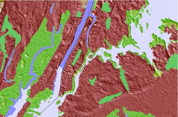
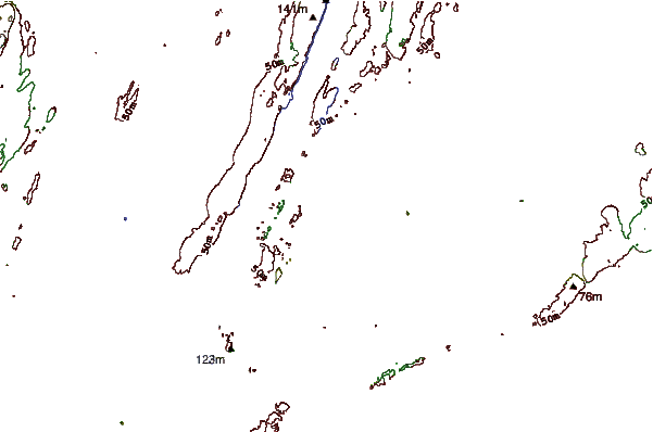
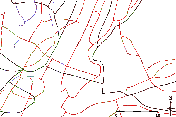
Use this relief map to navigate to tide stations, surf breaks and cities that are in the area of Hell Gate, Hallets Point, East River, New York, New York.
Other Nearby Locations' tide tables and tide charts to Hell Gate, Hallets Point, East River, New York, New York:
click location name for more details
 Surf breaks close to Hell Gate, Hallets Point, East River, New York, New York:
|
||
|---|---|---|
| Closest surf break | 92nd Street | 16 mi |
| Second closest surf break | Rockaway | 16 mi |
| Third closest surf break | Jones Beach | 17 mi |
| Fourth closest surf break | Connecticut Street Jetty | 19 mi |
| Fifth closest surf break | Grand Blvd | 19 mi |


 Nearest
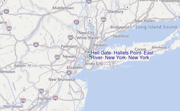