
| Distance / Altitude | Location | Report Date / Time | Live Weather | Wind | Gusts | Temp. | Visibility | Cloud |
|---|---|---|---|---|---|---|---|---|
| 2 km ESE / 195 m | Hengchun (Taiwan) | 2026-07-10 02:00 local (2026/07/09 18:00 GMT) | no report | wind obs. (22 kph from 160 degs) was rejected (- km/h at -) | 31°C | 22 | - - - | |
| 75 km WNW / 218 m | Kaohsiung International Airport (Taiwan) | 2026-07-10 02:00 local (2026/07/09 18:00 GMT) | Dry and partly cloudy | light winds from the NW.(Wind varies from 270 to 350 degs) (13 km/h at 310) | 29°C | 10.0 | few scattered broken | |
| 83 km E / 325 m | Lan YU (China) | 2026-07-10 02:00 local (2026/07/09 18:00 GMT) | no report | wind obs. (32 kph from 190 degs) was rejected (- km/h at -) | 27°C | 50 | - - - | |
| 91 km NNE / 42 m | Fengnin Airport (Taiwan) | 2026-07-10 02:00 local (2026/07/09 18:00 GMT) | - | light winds from the NW (6 km/h at 320) | 26°C | 10.0 | few | |
| 93 km NNE / 167 m | Taidong (Taiwan) | 2026-07-10 02:00 local (2026/07/09 18:00 GMT) | no report | wind obs. (14 kph from 200 degs) was rejected (- km/h at -) | 31°C | 35 | - - - | |
| 117 km NW / 19 m | Tainan Taiwan Air Force Base (Taiwan) | 2026-07-10 02:00 local (2026/07/09 18:00 GMT) | Dry and partly cloudy | light winds from the NNW (11 km/h at 340) | 27°C | 10.0 | few broken | |
| 122 km NW / 194 m | Tainan (Taiwan) | 2026-07-10 02:00 local (2026/07/09 18:00 GMT) | no report | wind obs. (36 kph from 210 degs) was rejected (- km/h at -) | 32°C | 45 | - | |
| 122 km NW / 194 m | Tainan (Taiwan) | 2026-07-10 02:00 local (2026/07/09 18:00 GMT) | no report | wind obs. (36 kph from 210 degs) was rejected (- km/h at -) | 32°C | 45 | - - - | |
| 158 km NW / 60 m | Benjike wx (Taiwan) | 2026-07-10 03:04 local (2026/07/09 19:04 GMT) | - | calm (0 km/h at 270) | — | - | - - 0 | |
| 176 km SE / 124 m | Itbayat (Philippines) | 2026-07-10 02:00 local (2026/07/09 18:00 GMT) | haze | wind obs. (18 kph from 160 degs) was rejected (- km/h at -) | 30°C | 12 | - |
| Contours: | Roads & Rivers: | Select a
tide station / surf break / city |
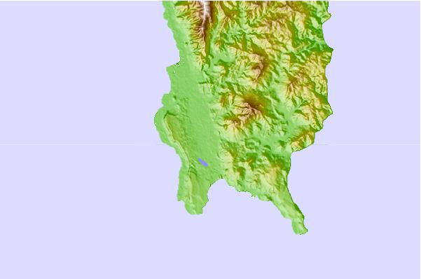
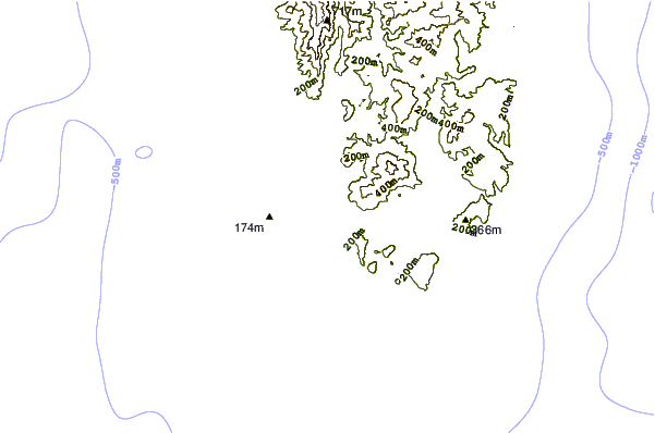
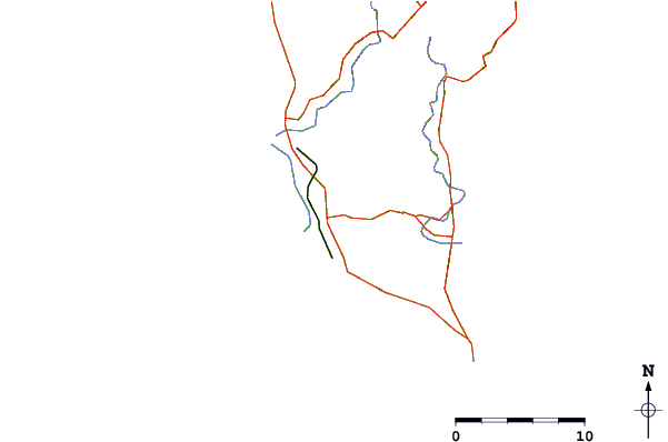
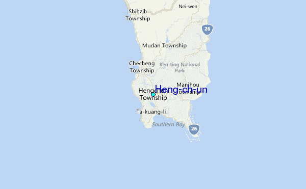
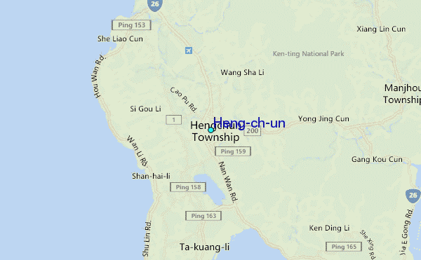
Use this relief map to navigate to tide stations, surf breaks and cities that are in the area of Heng-ch'un.
Other Nearby Locations' tide tables and tide charts to Heng-ch'un:
click location name for more details
 Surf breaks close to Heng-ch'un:
|
||
|---|---|---|
| Closest surf break | Nanwan Beach (South Bay) | 3 mi |
| Second closest surf break | Kenting | 4 mi |
| Third closest surf break | Chialoshui | 9 mi |
| Fourth closest surf break | Tawu | 24 mi |
| Fifth closest surf break | Green island | 50 mi |


 Nearest
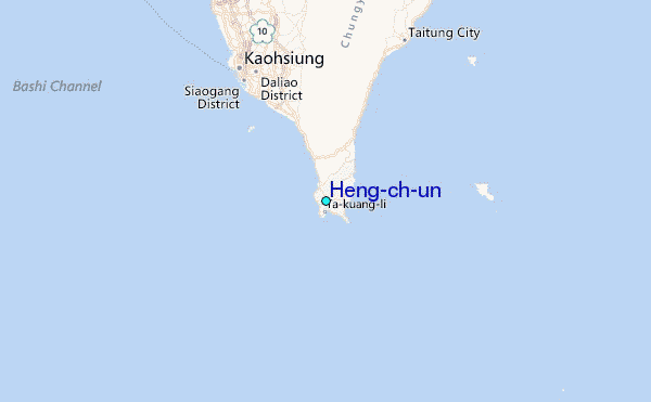