
| Distance / Altitude | Location | Report Date / Time | Live Weather | Wind | Gusts | Temp. | Visibility | Cloud |
|---|---|---|---|---|---|---|---|---|
| 147 km W / 123 m | Mount Christian wx (Australia) | 2026-06-22 16:34 local (2026/06/22 06:34 GMT) | dry | calm (3 km/h at 256) | 23°C | - | - - 0 | |
| 156 km S / 176 m | Frenchville wx (Australia) | 2026-06-22 16:40 local (2026/06/22 06:40 GMT) | - | calm (0 km/h at 51) | 25°C | - | - - 0 | |
| 158 km S / 217 m | Rockhampton Airport (Australia) | 2026-06-22 16:30 local (2026/06/22 06:30 GMT) | - | light winds from the SSE.(Wind varies from 110 to 210 degs) (9 km/h at 150) | 26°C | 10.0 | few | |
| 158 km S / 217 m | Rockhampton Airport (Australia) | 2026-06-22 15:30 local (2026/06/22 05:30 GMT) | Dry and partly cloudy | light winds from the E.(Wind varies from 060 to 130 degs) (7 km/h at 100) | 27°C | 10.0 | scattered broken broken | |
| 172 km W / 308 m | Shinfield wx (Australia) | 2026-06-22 16:34 local (2026/06/22 06:34 GMT) | dry | calm (0 km/h at 31) | 21°C | - | - - 0 | |
| 193 km W / 54 m | Eton wx (Australia) | 2026-06-22 16:35 local (2026/06/22 06:35 GMT) | dry | light winds from the E (8 km/h at 91) | 22°C | - | - - 0 | |
| 211 km SSE / 57 m | Yarwun wx (Australia) | 2026-06-22 16:19 local (2026/06/22 06:19 GMT) | - | calm (0 km/h at 105) | 23°C | - | - - 0 | |
| 219 km SSE / 52 m | Gladstone Airport (Australia) | 2026-06-22 16:30 local (2026/06/22 06:30 GMT) | Dry and cloudy | light winds from the ENE (17 km/h at 70) | 23°C | 10.0 | few overcast | |
| 253 km WNW / 216 m | Hamilton Island (Australia) | 2026-06-22 16:30 local (2026/06/22 06:30 GMT) | Dry and partly cloudy | fresh winds from the SE (31 km/h at 130) | 21°C | 10.0 | no cloud overcast broken | |
| 325 km SSW / 232 m | Lockmead wx (Australia) | 2026-06-22 17:15 local (2026/06/22 07:15 GMT) | - | calm (3 km/h at 225) | 21°C | - | - - 0 |
| Contours: | Roads & Rivers: | Select a
tide station / surf break / city |
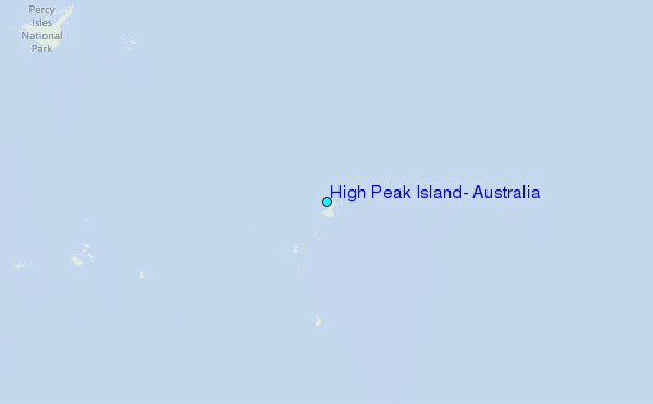
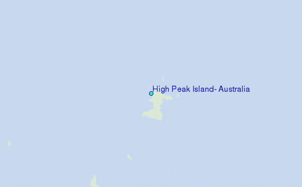
Use this relief map to navigate to tide stations, surf breaks and cities that are in the area of High Peak Island, Australia.
Other Nearby Locations' tide tables and tide charts to High Peak Island, Australia:
click location name for more details
 Surf breaks close to High Peak Island, Australia:
|
||
|---|---|---|
| Closest surf break | South Wall Mackay Harbour | 110 mi |
| Second closest surf break | North Wall Mackay Harbour Beach | 111 mi |
| Third closest surf break | Lamberts Beach | 111 mi |
| Fourth closest surf break | Dolphin Heads | 116 mi |
| Fifth closest surf break | Eimeo Point | 116 mi |


 Nearest
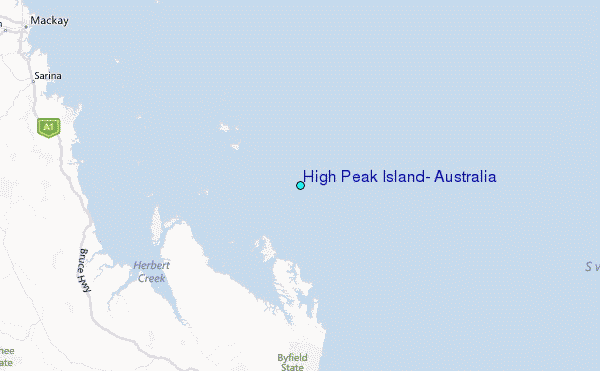