
| Distance / Altitude | Location | Report Date / Time | Live Weather | Wind | Gusts | Temp. | Visibility | Cloud |
|---|---|---|---|---|---|---|---|---|
| 11 km NNE / 218 m | Fort Belvoir/Davison Airport (Virginia) | 2026-06-21 14:55 local (2026/06/21 18:55 GMT) | Clear | light winds from the NW (9 km/h at 320) | 30°C | 16 | ||
| 15 km S / 219 m | Quantico Marine Corps Air Facility Airport (Virginia) | 2026-06-21 14:56 local (2026/06/21 18:56 GMT) | Dry and partly cloudy | light winds from the N (11 km/h at 1) | 30°C | 11 | scattered | |
| 30 km NNE / 218 m | Washington/National Airport (Washington D.c.) | 2026-06-21 14:52 local (2026/06/21 18:52 GMT) | Dry and partly cloudy | light winds from the NW (15 km/h at 320) | 30°C | 16 | scattered broken | |
| 30 km W / 206 m | Manassas Municipal Airport (Virginia) | 2026-06-21 14:56 local (2026/06/21 18:56 GMT) | Clear | light winds from the N.(Wind varies from 320 to 020 degs) (13 km/h at 360) | 30°C | 16 | ||
| 32 km NNE / 3 m | BUOY-WASD2 (Marine) | 2026-06-21 15:30 local (2026/06/21 19:30 GMT) | calm (5 km/h at 340) | 28°C | - | |||
| 32 km SSW / 217 m | Stafford Regional Airport (Virginia) | 2026-06-21 15:35 local (2026/06/21 19:35 GMT) | Dry and partly cloudy | light winds from the NNW (7 km/h at 330) | 32°C | 16 | scattered | |
| 36 km SSE / 3 m | BUOY-NCDV2 (Marine) | 2026-06-21 15:30 local (2026/06/21 19:30 GMT) | calm (5 km/h at 270) | 30°C | - | |||
| 37 km NE / 217 m | Andrews Air Force Base Airport (Maryland) | 2026-06-21 14:55 local (2026/06/21 18:55 GMT) | - | light winds from the WSW (13 km/h at 240) | 30°C | 16 | few few | |
| 39 km W / 108 m | Greenville wx (United States) | 2026-06-21 15:19 local (2026/06/21 19:19 GMT) | dry | calm (0 km/h at 63) | 31°C | - | - - 0 | |
| 41 km NW / 218 m | Wash DC/Dulles Airport (Virginia) | 2026-06-21 14:52 local (2026/06/21 18:52 GMT) | Dry and partly cloudy | light winds from the WNW (17 km/h at 300) | 29°C | 16 | scattered broken |
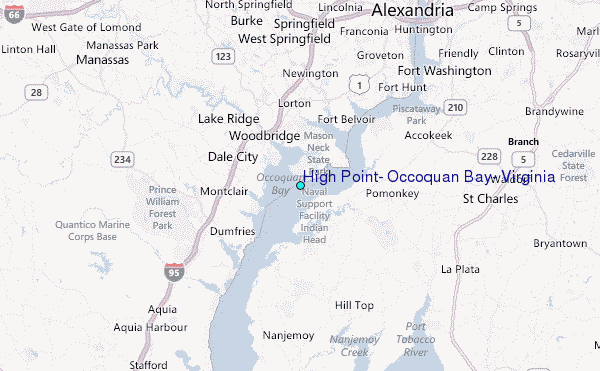
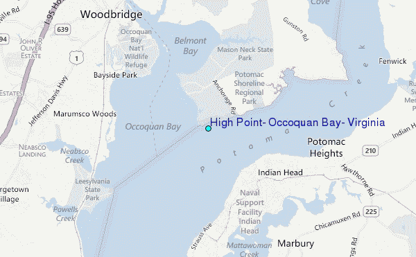
Choose High Point, Occoquan Bay, Virginia Location Map Zoom:
| Contours: | Roads & Rivers: | Select a
tide station / surf break / city |
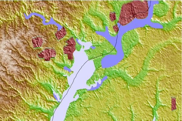
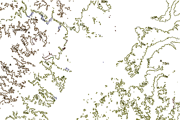
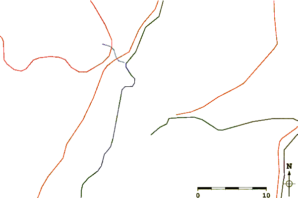
Use this relief map to navigate to tide stations, surf breaks and cities that are in the area of High Point, Occoquan Bay, Virginia.
Other Nearby Locations' tide tables and tide charts to High Point, Occoquan Bay, Virginia:
click location name for more details
 Surf breaks close to High Point, Occoquan Bay, Virginia:
|
||
|---|---|---|
| Closest surf break | Out Front | 112 mi |
| Second closest surf break | Chincoteague | 113 mi |
| Third closest surf break | Naval Jetties | 114 mi |
| Fourth closest surf break | Assateague | 115 mi |
| Fifth closest surf break | Dewey Beach | 115 mi |


 Nearest
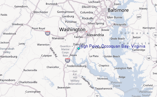