
| Distance / Altitude | Location | Report Date / Time | Live Weather | Wind | Gusts | Temp. | Visibility | Cloud |
|---|---|---|---|---|---|---|---|---|
| 19 km SSW / 3 m | BUOY-FFIA2 (Marine) | 2026-06-23 19:00 local (2026/06/24 03:00 GMT) | moderate winds from the WSW (28 km/h at 240) | 13°C | - | |||
| 44 km SSW / 3 m | SHIP8595 (Marine) | 2026-06-23 18:00 local (2026/06/24 02:00 GMT) | moderate winds from the WSW (28 km/h at 240) | 12°C | - | |||
| 54 km NW / 3 m | BUOY-MIXA2 (Marine) | 2026-06-23 19:02 local (2026/06/24 03:02 GMT) | light winds from the SE (11 km/h at 140) | 14°C | - | |||
| 58 km SSW / 215 m | Kake Airport (Alaska) | 2026-06-23 17:56 local (2026/06/24 01:56 GMT) | Dry and cloudy | light winds from the W (9 km/h at 280) | 17°C | 16 | overcast | |
| 70 km SSE / 216 m | Petersburg Airport (Alaska) | 2026-06-23 17:56 local (2026/06/24 01:56 GMT) | Dry and partly cloudy | light winds from the W (9 km/h at 280) | 17°C | 16 | scattered | |
| 58 km SSW / 215 m | Kake Airport (Alaska) | 2026-06-23 17:56 local (2026/06/24 01:56 GMT) | Dry and cloudy | light winds from the W (9 km/h at 280) | 17°C | 16 | overcast | |
| 63 km S / 15 m | SHIP2565 (Marine) | 2026-06-23 18:00 local (2026/06/24 02:00 GMT) | calm (5.4 km/h at 300) | 11°C | - km | |||
| 63 km SW / 15 m | SHIP3407 (Marine) | 2026-06-23 17:00 local (2026/06/24 01:00 GMT) | fresh winds from the WSW (29.52 km/h at 240) | — | - km | |||
| 63 km S / 15 m | SHIP6685 (Marine) | 2026-06-23 18:00 local (2026/06/24 02:00 GMT) | light winds from the NW (9.360000000000001 km/h at 310) | 11°C | - km | |||
| 63 km S / 15 m | SHIP1684 (Marine) | 2026-06-23 17:00 local (2026/06/24 01:00 GMT) | light winds from the WNW (16.56 km/h at 290) | 12°C | - km |
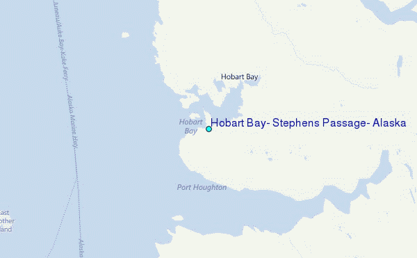
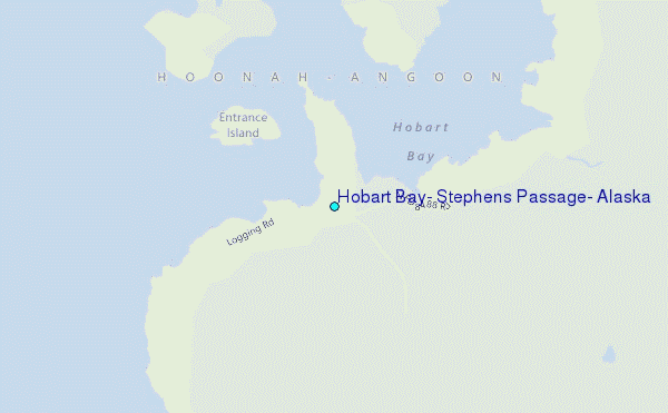
Choose Hobart Bay, Stephens Passage, Alaska Location Map Zoom:
| Contours: | Roads & Rivers: | Select a
tide station / surf break / city |
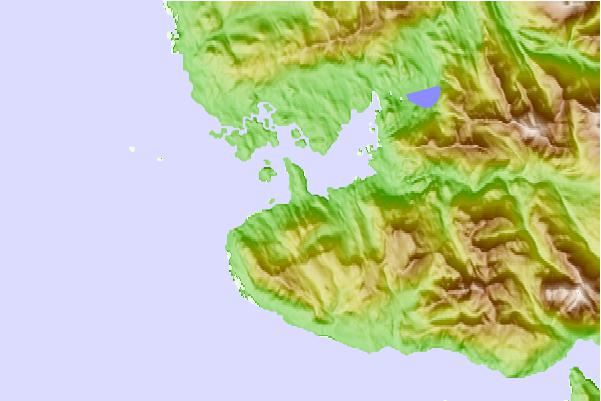
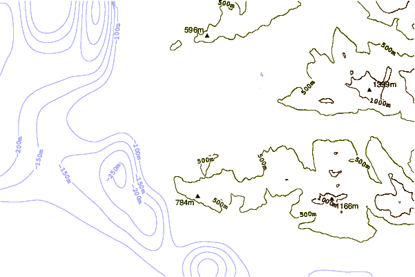
Use this relief map to navigate to tide stations, surf breaks and cities that are in the area of Hobart Bay, Stephens Passage, Alaska.
Other Nearby Locations' tide tables and tide charts to Hobart Bay, Stephens Passage, Alaska:
click location name for more details
 Surf breaks close to Hobart Bay, Stephens Passage, Alaska:
|
||
|---|---|---|
| Closest surf break | Lepus Beach (Haida-Gwaii) | 224 mi |
| Second closest surf break | Tow Hill Beach | 238 mi |
| Third closest surf break | Cannon Beach | 272 mi |
| Fourth closest surf break | Graveyards | 275 mi |
| Fifth closest surf break | Ocean Cape | 276 mi |


 Nearest
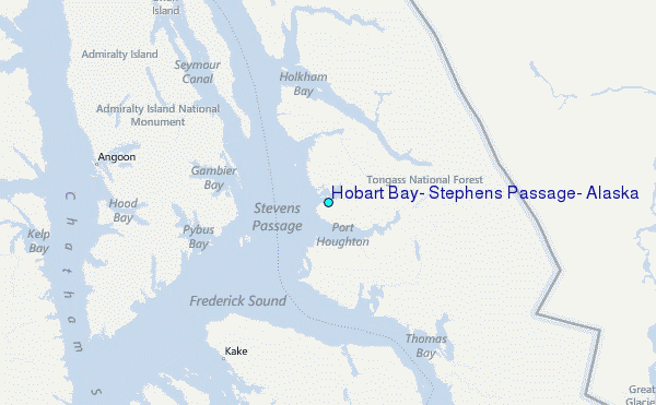