
| Distance / Altitude | Location | Report Date / Time | Live Weather | Wind | Gusts | Temp. | Visibility | Cloud |
|---|---|---|---|---|---|---|---|---|
| 24 km WNW / 676 m | Da Nang International Airport (Viet Nam) | 2026-07-10 01:30 local (2026/07/09 18:30 GMT) | Dry and partly cloudy | calm (0 km/h at 0) | 28°C | 10.0 | few broken | |
| 91 km WNW / 17 m | Hue Phubai Airport (Viet nam) | 2026-07-10 01:30 local (2026/07/09 18:30 GMT) | Dry and partly cloudy | calm (4 km/h at 310) | 29°C | 10.0 | few scattered | |
| 291 km NNE / 420 m | Sanya (China) | 2026-07-10 01:00 local (2026/07/09 18:00 GMT) | no report | wind obs. (14 kph from 150 degs) was rejected (- km/h at -) | 28°C | 21 | - | |
| 358 km ENE / 5 m | Sanhu Dao (China) | 2026-07-10 01:00 local (2026/07/09 18:00 GMT) | no report | wind obs. (7 kph from 160 degs) was rejected (- km/h at -) | 32°C | 18 | - | |
| 358 km N / 8 m | Dongfang (China) | 2026-07-10 01:00 local (2026/07/09 18:00 GMT) | no report | moderate winds from the S (22 km/h at 190) | 33°C | 22 | - | |
| 361 km WSW / 131 m | Ubon Ratchathani Agromet (Thailand) | 2026-07-10 02:00 local (2026/07/09 19:00 GMT) | - | calm (2 km/h at 330) | — | - | - | |
| 378 km WSW / 203 m | Ubon/Ratchathani Airport (Thailand) | 2026-07-10 02:00 local (2026/07/09 19:00 GMT) | no report | light winds from the SW (11 km/h at 230) | — | 0.0 | - - - | |
| 394 km WSW / 140 m | Mukdahan (Thailand) | 2026-07-10 02:00 local (2026/07/09 19:00 GMT) | - | calm (0 km/h at 280) | — | - | - | |
| 398 km WSW / 298 m | Amnat Charoen (Thailand) | 2026-07-10 02:00 local (2026/07/09 19:00 GMT) | - | calm (4 km/h at 260) | — | - | - - - | |
| 415 km W / 148 m | Nakhon Phanom (Thailand) | 2026-07-10 02:00 local (2026/07/09 19:00 GMT) | - | light winds from the WNW (7 km/h at 290) | — | - | - - - |
| Contours: | Roads & Rivers: | Select a
tide station / surf break / city |
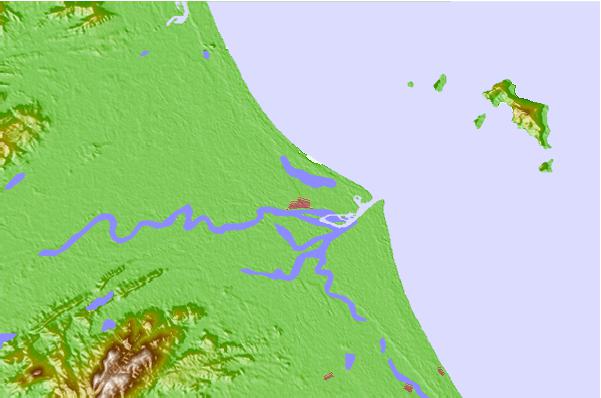
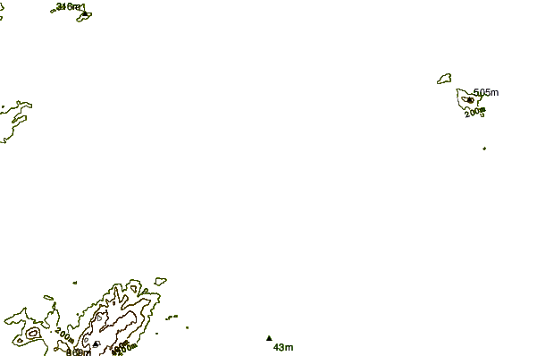
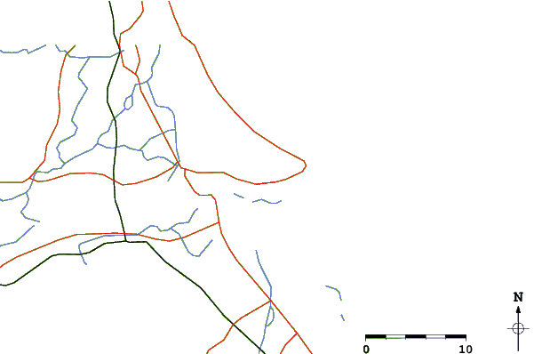
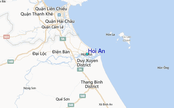
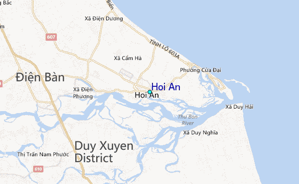
Use this relief map to navigate to tide stations, surf breaks and cities that are in the area of Hoi An.
Other Nearby Locations' tide tables and tide charts to Hoi An:
click location name for more details
 Surf breaks close to Hoi An:
|
||
|---|---|---|
| Closest surf break | Cue Dai Beach | 3 mi |
| Second closest surf break | China Beach | 7 mi |
| Third closest surf break | Non Nuoc | 11 mi |
| Fourth closest surf break | My Khe / Da Nang | 14 mi |
| Fifth closest surf break | Nam O Point | 21 mi |


 Nearest
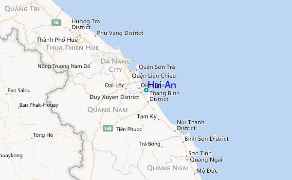