
| Distance / Altitude | Location | Report Date / Time | Live Weather | Wind | Gusts | Temp. | Visibility | Cloud |
|---|---|---|---|---|---|---|---|---|
| 36 km WSW / 10 m | Reykhólahöfn (Iceland) | 2026-07-02 03:00 local (2026/07/02 03:00 GMT) | - | near gales from the SSE (56 km/h at 156) | 8°C | - | - - 0 | |
| 72 km SW / 118 m | Stykkisholmur (Iceland) | 2026-07-02 03:00 local (2026/07/02 03:00 GMT) | no report | wind obs. (20 kph from 280 degs) was rejected (- km/h at -) | 6°C | 70 | - | |
| 82 km SSE / 120 m | Borgarnes (Israel) | 2026-07-02 01:30 local (2026/07/02 01:30 GMT) | dry | calm (0 km/h at 255) | 7°C | - | - - 0 | |
| 94 km WNW / 0 m | Æðey (Iceland) | 2026-07-02 03:00 local (2026/07/02 03:00 GMT) | no report | light winds from the SE (9 km/h at 130) | 6°C | - | - | |
| 117 km WNW / 27 m | Bolungavik (Iceland) | 2026-07-02 03:00 local (2026/07/02 03:00 GMT) | no report | wind obs. (20 kph from 80 degs) was rejected (- km/h at -) | 6°C | - | - - - | |
| 131 km SW / 6 m | Gufuskalar (Iceland) | 2026-07-02 03:00 local (2026/07/02 03:00 GMT) | no report | wind obs. (28 kph from 60 degs) was rejected (- km/h at -) | 7°C | - | - | |
| 145 km S / 53 m | Reykjavik Airport (Iceland) | 2026-07-02 03:00 local (2026/07/02 03:00 GMT) | no report | wind obs. (9 kph from 110 degs) was rejected (- km/h at -) | 9°C | - | - - - | |
| 146 km S / 101 m | Selfoss (Israel) | 2026-07-02 01:10 local (2026/07/02 01:10 GMT) | dry | light winds from the S (14 km/h at 171) | 7°C | - | - - 0 | |
| 147 km S / 216 m | Reykjavik Airport (Iceland) | 2026-07-02 02:00 local (2026/07/02 02:00 GMT) | Dry and partly cloudy | moderate winds from the SW (28 km/h at 230) | 8°C | 10.0 | scattered | |
| 148 km S / 23 m | Kópavogur wx (Iceland) | 2026-07-02 01:28 local (2026/07/02 01:28 GMT) | - | - (- km/h at ) | 7°C | - | - - 0 |
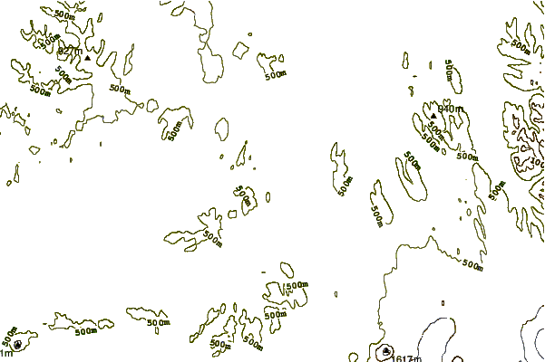
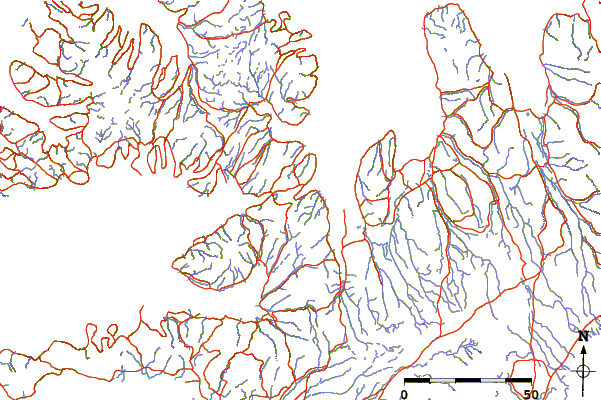
| Contours: | Roads & Rivers: | Select a
tide station / surf break / city |
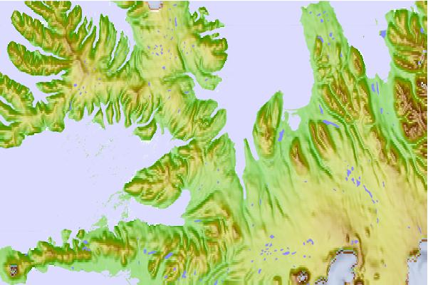
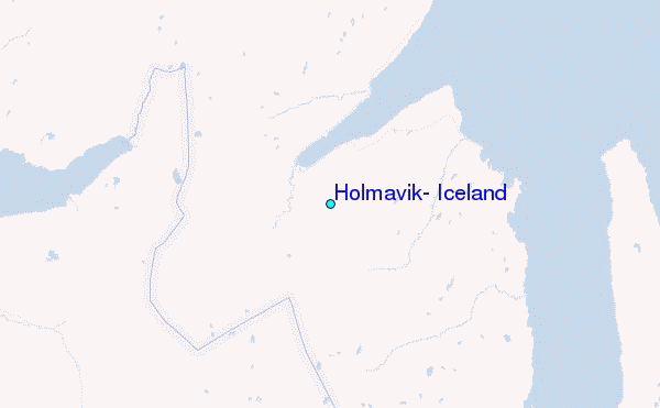
Use this relief map to navigate to tide stations, surf breaks and cities that are in the area of Hólmavík, Iceland.
Other Nearby Locations' tide tables and tide charts to Holmavik, Iceland:
click location name for more details
 Surf breaks close to Holmavik, Iceland:
|
||
|---|---|---|
| Closest surf break | Grotta | 89 mi |
| Second closest surf break | Hafnarfjordur | 96 mi |
| Third closest surf break | Garur | 100 mi |
| Fourth closest surf break | Þorlákshöfn or Porlackshofn | 109 mi |
| Fifth closest surf break | Hafnir | 109 mi |


 Nearest
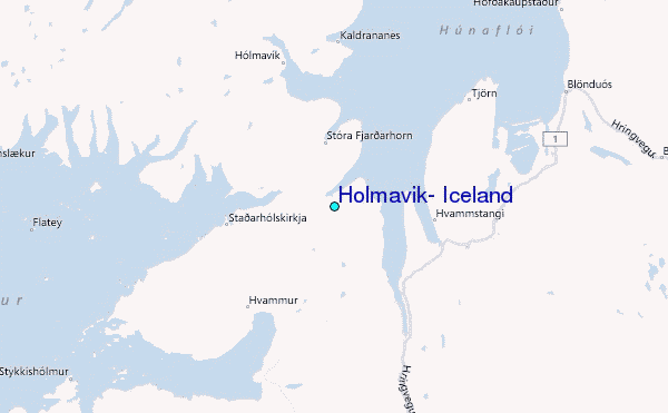