
| Distance / Altitude | Location | Report Date / Time | Live Weather | Wind | Gusts | Temp. | Visibility | Cloud |
|---|---|---|---|---|---|---|---|---|
| 184 km SSW / 153 m | Nakhon Phanom Agromet (Thailand) | 2026-07-10 02:00 local (2026/07/09 19:00 GMT) | - | calm (2 km/h at 290) | — | - | - | |
| 186 km SSW / 148 m | Nakhon Phanom (Thailand) | 2026-07-10 02:00 local (2026/07/09 19:00 GMT) | - | light winds from the WNW (7 km/h at 290) | — | - | - - - | |
| 225 km NNE / 1 m | lightning 25km SE of Hai Duong (Vietnam) | 2026-07-10 02:49 local (2026/07/09 19:49 GMT) | Thunderstorm | (- km/h at -) | — | |||
| 241 km WSW / 298 m | Bungkarn (Thailand) | 2026-07-10 02:00 local (2026/07/09 19:00 GMT) | - | wind obs. (6 kph from 190 degs) was rejected (- km/h at -) | — | - | - | |
| 244 km NNE / 4 m | Cat Bi International Airport (Vietnam) | 2026-07-10 01:30 local (2026/07/09 18:30 GMT) | Dry and partly cloudy | light winds from the NE.(Wind varies from 350 to 070 degs) (7 km/h at 40) | 26°C | 10.0 | scattered broken | |
| 245 km N / 218 m | Hanoi/Noibai International Airport (Viet Nam) | 2026-07-10 01:30 local (2026/07/09 18:30 GMT) | Dry and partly cloudy | wind obs. (6 kph from 190 degs) was rejected (- km/h at -) | 27°C | 9.0 | few scattered broken | |
| 251 km SSW / 172 m | Sakon Nakhon (Thailand) | 2026-07-10 02:00 local (2026/07/09 19:00 GMT) | - | calm (4 km/h at 350) | — | - | - - - | |
| 260 km SSW / 192 m | Sakon Nakhon Agromet (Thailand) | 2026-07-10 02:00 local (2026/07/09 19:00 GMT) | - | calm (2 km/h at 320) | — | 18 | - - - | |
| 274 km S / 140 m | Mukdahan (Thailand) | 2026-07-10 02:00 local (2026/07/09 19:00 GMT) | - | calm (0 km/h at 280) | — | - | - | |
| 288 km SW / 183 m | Ban Dong Dara wx (Thailand) | 2026-07-10 02:29 local (2026/07/09 19:29 GMT) | - | calm (0 km/h at 0) | 27°C | - | - - 0 |
| Contours: | Roads & Rivers: | Select a
tide station / surf break / city |
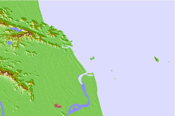
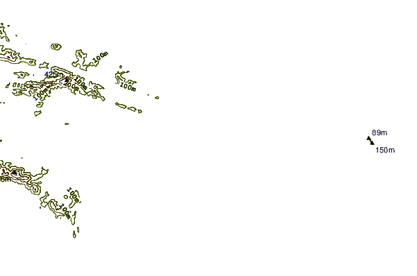
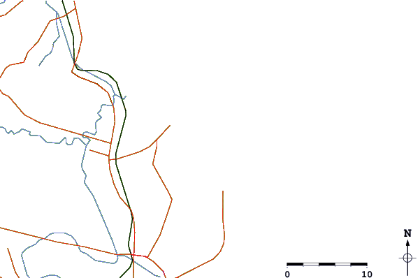
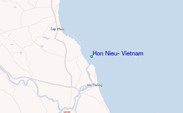
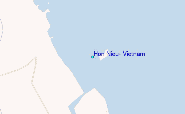
Use this relief map to navigate to tide stations, surf breaks and cities that are in the area of Hon Nieu, Vietnam.
Other Nearby Locations' tide tables and tide charts to Hon Nieu, Vietnam:
click location name for more details
 Surf breaks close to Hon Nieu, Vietnam:
|
||
|---|---|---|
| Closest surf break | Binh An | 229 mi |
| Second closest surf break | Lang Co | 233 mi |
| Third closest surf break | Nam O Point | 242 mi |
| Fourth closest surf break | Dadonghai | 249 mi |
| Fifth closest surf break | My Khe / Da Nang | 250 mi |


 Nearest
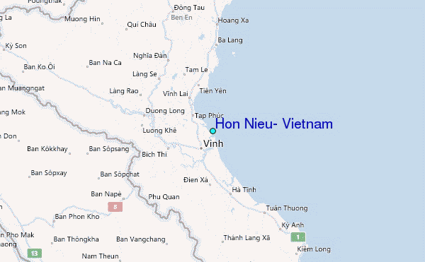