
| Distance / Altitude | Location | Report Date / Time | Live Weather | Wind | Gusts | Temp. | Visibility | Cloud |
|---|---|---|---|---|---|---|---|---|
| 1 km WNW / 3 m | BUOY-NCHT2 (Marine) | 2026-07-17 02:00 local (2026/07/17 07:00 GMT) | calm (5 km/h at 170) | 28°C | - | |||
| 11 km S / 218 m | Houston/Hobby Airport (Texas) | 2026-07-17 00:53 local (2026/07/17 05:53 GMT) | Dry and partly cloudy | light winds from the SE (7 km/h at 140) | 27°C | 16 | scattered | |
| 13 km WSW / 69 m | Rice University- Houston Airport (Texas) (Texas) | 2026-07-17 01:15 local (2026/07/17 06:15 GMT) | Clear | moderate winds from the SSE (22 km/h at 150) | 27°C | 14 | ||
| 17 km SE / 195 m | Houston/Ellington Field Airport (Texas) | 2026-07-17 00:54 local (2026/07/17 05:54 GMT) | - | light winds from the SE (11 km/h at 130) | 27°C | 16 | few | |
| 18 km WSW / 31 m | Houston (Texas) | 2026-07-17 00:08 local (2026/07/17 05:08 GMT) | dry | calm (2 km/h at 174) | 28°C | - | - - 0 | |
| 20 km ESE / 8 m | La Porte Airport (Texas) (Texas) | 2026-07-17 01:35 local (2026/07/17 06:35 GMT) | Clear | light winds from the SSE (9 km/h at 160) | 28°C | 16 | ||
| 20 km NW / 21 m | Western Homes wx (United States) | 2026-07-17 02:28 local (2026/07/17 07:28 GMT) | dry | calm (0 km/h at 128) | 26°C | - | - - 0 | |
| 22 km WSW / 20 m | Briargrove wx (United States) | 2026-07-17 02:09 local (2026/07/17 07:09 GMT) | dry | calm (0 km/h at 0) | 27°C | - | - - 0 | |
| 23 km SW / 23 m | Houston (Texas) | 2026-07-17 02:04 local (2026/07/17 07:04 GMT) | dry | calm (0 km/h at 142) | 25°C | - | - - 0 | |
| 23 km S / 218 m | Houston Airport (Texas) | 2026-07-17 00:53 local (2026/07/17 05:53 GMT) | Clear | light winds from the SE (6 km/h at 140) | 27°C | 14 |
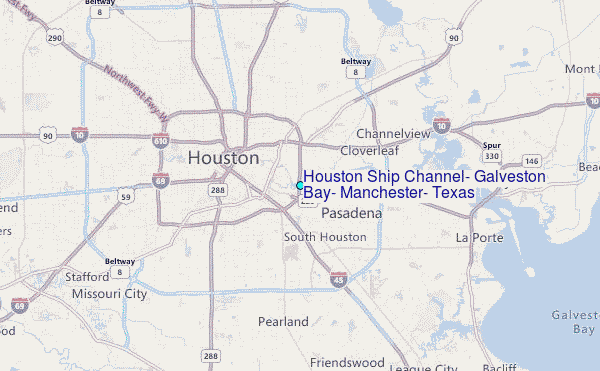
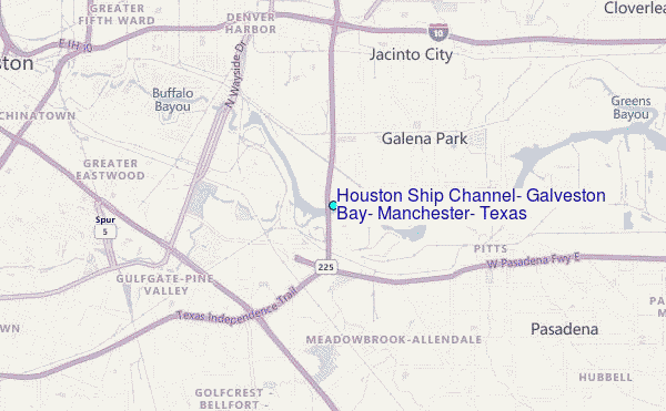
Choose Houston Ship Channel, Galveston Bay, Manchester, Texas Location Map Zoom:
| Contours: | Roads & Rivers: | Select a
tide station / surf break / city |
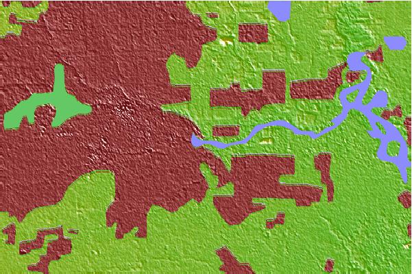
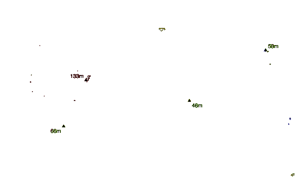
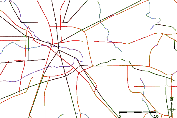
Use this relief map to navigate to tide stations, surf breaks and cities that are in the area of Houston Ship Channel, Galveston Bay, Manchester, Texas.
Other Nearby Locations' tide tables and tide charts to Houston Ship Channel, Galveston Bay, Manchester, Texas:
click location name for more details
 Surf breaks close to Houston Ship Channel, Galveston Bay, Manchester, Texas:
|
||
|---|---|---|
| Closest surf break | Meacom Pier | 40 mi |
| Second closest surf break | Galveston - Flagship Pier | 42 mi |
| Third closest surf break | Galveston | 42 mi |
| Fourth closest surf break | Galveston-61st Street Pier | 42 mi |
| Fifth closest surf break | Jamaica Beach | 42 mi |


 Nearest
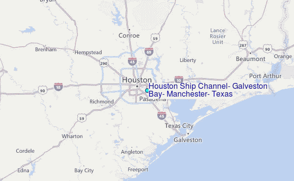