
| Distance / Altitude | Location | Report Date / Time | Live Weather | Wind | Gusts | Temp. | Visibility | Cloud |
|---|---|---|---|---|---|---|---|---|
| 1075 km S / 154 m | Funafuti Tuvalu Airport (Fiji/tonga/tuvalu) | 2026-07-09 08:00 local (2026/07/09 18:00 GMT) | Shower - in the vicinity | light winds from the SSE (15 km/h at 150) | 27°C | 10.0 | few few broken | |
| 1164 km WSW / 2 m | Tarawa Kiribati Airport (Fiji/tonga/tuvalu) | 2026-07-09 09:00 local (2026/07/09 19:00 GMT) | Dry and partly cloudy | light winds from the WSW (11 km/h at 240) | 28°C | 10.0 | few scattered - | |
| 1229 km SSE / 3 m | Nukunonu Aws (Tokelau) | 2026-07-09 09:00 local (2026/07/09 19:00 GMT) | no report | wind obs. (9 kph from 130 degs) was rejected (- km/h at -) | 29°C | - | - - - | |
| 1448 km SSE / 15 m | SHIP6468 (Marine) | 2026-07-09 08:00 local (2026/07/09 18:00 GMT) | light winds from the WNW (14.76 km/h at 290) | 29°C | - km | |||
| 1489 km W / 3 m | BUOY-52216 (Marine) | 2026-07-09 09:00 local (2026/07/09 19:00 GMT) | - (- km/h at -) | 27°C | - | |||
| 1441 km SSE / 15 m | SHIP688 (Marine) | 2026-07-09 07:00 local (2026/07/09 17:00 GMT) | light winds from the NW (18.36 km/h at 310) | 29°C | - km | |||
| 1441 km SSE / 15 m | SHIP5879 (Marine) | 2026-07-09 09:00 local (2026/07/09 19:00 GMT) | light winds from the W (18.36 km/h at 280) | 29°C | - km | |||
| 1441 km SSE / 15 m | SHIP7094 (Marine) | 2026-07-09 07:00 local (2026/07/09 17:00 GMT) | light winds from the NW (18.36 km/h at 320) | 29°C | - km | |||
| 1441 km SSE / 15 m | SHIP4505 (Marine) | 2026-07-09 07:00 local (2026/07/09 17:00 GMT) | light winds from the NW (18.36 km/h at 310) | 29°C | - km | |||
| 1441 km SSE / 15 m | SHIP3565 (Marine) | 2026-07-09 08:00 local (2026/07/09 18:00 GMT) | light winds from the WNW (14.76 km/h at 290) | 29°C | - km |
| Contours: | Roads & Rivers: | Select a
tide station / surf break / city |
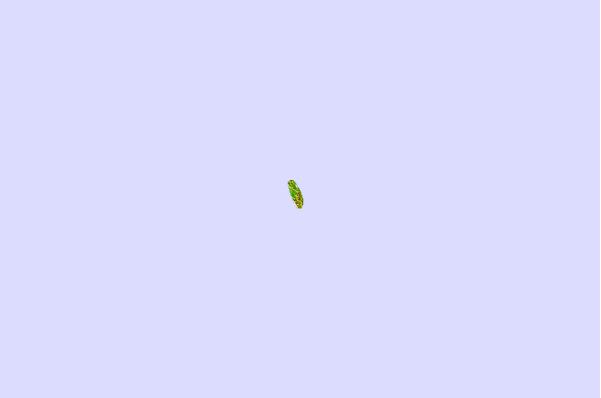
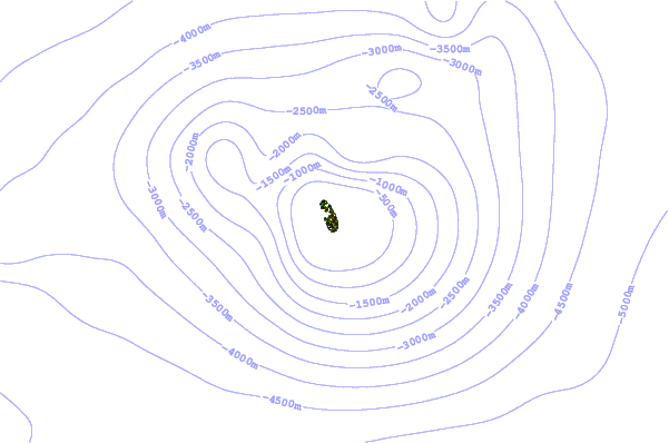
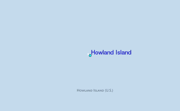
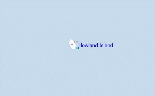
Use this relief map to navigate to tide stations, surf breaks and cities that are in the area of Howland Island.
Other Nearby Locations' tide tables and tide charts to Howland Island:
click location name for more details
 Surf breaks close to Howland Island:
|
||
|---|---|---|
| Closest surf break | Utua Mamao (Atafu) | 708 mi |
| Second closest surf break | Naa | 722 mi |
| Third closest surf break | The Leap | 1033 mi |
| Fourth closest surf break | Malama Lefts | 1034 mi |
| Fifth closest surf break | Salailua | 1041 mi |


 Nearest
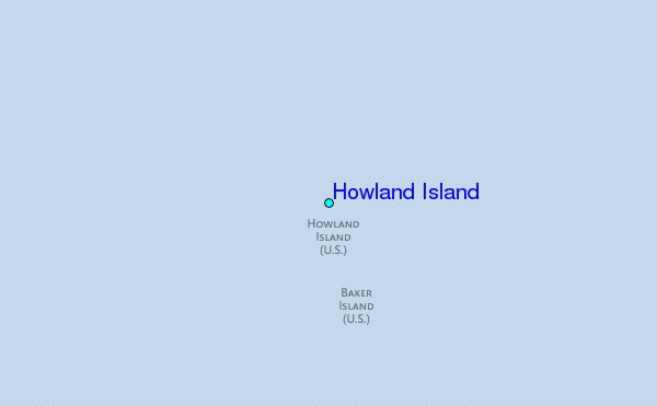