
| Distance / Altitude | Location | Report Date / Time | Live Weather | Wind | Gusts | Temp. | Visibility | Cloud |
|---|---|---|---|---|---|---|---|---|
| 132 km SSE / 638 m | lightning 32km SE of Kojo (North Korea) | 2026-07-10 03:15 local (2026/07/09 18:15 GMT) | Thunderstorm | (- km/h at -) | — | |||
| 139 km S / 540 m | lightning 30km E of Hoeyang (North Korea) | 2026-07-10 04:31 local (2026/07/09 19:31 GMT) | Thunderstorm | (- km/h at -) | — | |||
| 141 km S / 554 m | lightning 33km SSW of Kosan-up (North Korea) | 2026-07-10 04:03 local (2026/07/09 19:03 GMT) | Thunderstorm | (- km/h at -) | — | |||
| 154 km SSW / 162 m | lightning 16km SE of Kangdong-up (North Korea) | 2026-07-10 03:49 local (2026/07/09 18:49 GMT) | Thunderstorm | (- km/h at -) | — | |||
| 155 km SSE / 463 m | lightning 40km N of Yanggu (South Korea) | 2026-07-10 03:01 local (2026/07/09 18:01 GMT) | Thunderstorm | (- km/h at -) | — | |||
| 167 km S / 362 m | lightning 37km NW of Hwacheon (South Korea) | 2026-07-10 04:00 local (2026/07/09 19:00 GMT) | Thunderstorm | (- km/h at -) | — | |||
| 172 km S / 207 m | lightning 36km S of Kokan (North Korea) | 2026-07-10 03:00 local (2026/07/09 18:00 GMT) | Thunderstorm | (- km/h at -) | — | |||
| 175 km NNE / 984 m | Changbai (Peoples Republic Of China) | 2026-07-10 03:00 local (2026/07/09 18:00 GMT) | - | - (- km/h at -) | — | 13 | - | |
| 176 km S / 197 m | Gimwa Rws Airport (South Korea) | 2026-07-10 03:40 local (2026/07/09 18:40 GMT) | Dry and cloudy | calm (2 km/h at 160) | 23°C | 10.0 | overcast | |
| 178 km S / 173 m | lightning 23km N of yeoncheongun (South Korea) | 2026-07-10 03:46 local (2026/07/09 18:46 GMT) | Thunderstorm | (- km/h at -) | — |
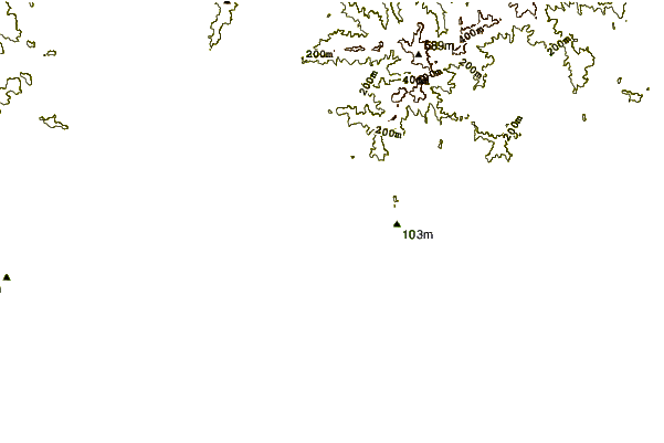
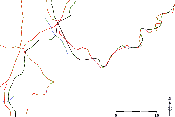
| Contours: | Roads & Rivers: | Select a
tide station / surf break / city |
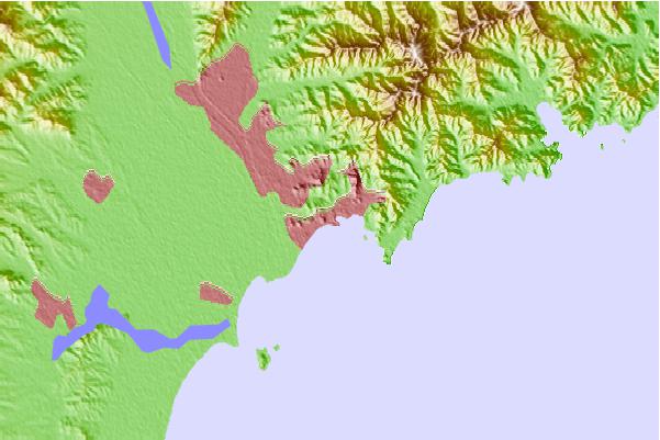
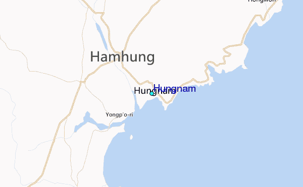
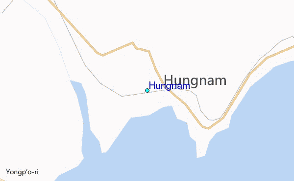
Use this relief map to navigate to tide stations, surf breaks and cities that are in the area of Hungnam.
Other Nearby Locations' tide tables and tide charts to Hungnam:
click location name for more details
 Surf breaks close to Hungnam:
|
||
|---|---|---|
| Closest surf break | Songdojin ni | 94 mi |
| Second closest surf break | 38 Line | 140 mi |
| Third closest surf break | Ingu Beach | 141 mi |
| Fourth closest surf break | Jumunjin | 150 mi |
| Fifth closest surf break | Gyongpo Beach | 156 mi |


 Nearest
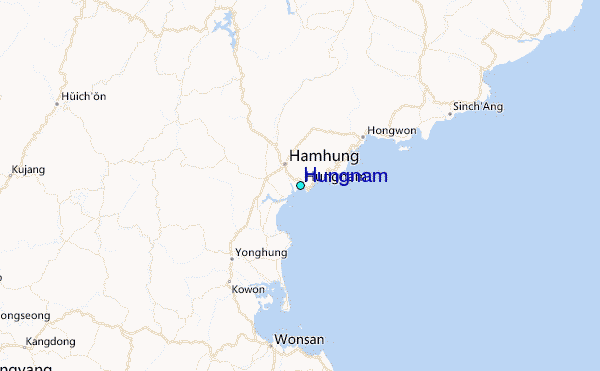